Old Maps of Danielsville, Georgia for Genealogy
Trace your family roots with 17 historic maps of Danielsville. These high-res maps reveal old neighborhoods, homesites, landmarks, and streets — helping you uncover where your ancestors lived and how the area evolved over time.
- Explore historic neighborhoods: Identify where your relatives may have lived in the 1800s or 1900s.
- Compare maps over time: Trace the changes in streets, buildings, and landmarks for multi-generational research.
- Perfect for genealogy & ancestry research: Used by family historians and researchers to map out lineage and migration.
These maps are an incredible resource for exploring your personal connection to Danielsville's past.
Danielsville, GA maps
(17)- 1891 Map of Carnesville
 1891 Carnesville1891 Print · USGSNortheast Georgia in the late nineteenth century is documented here as a landscape of small river settlements and emerging rail towns. Genealogists can trace family roots through locations like Jewellville, Fort Lamar, and the river crossing at Braggs Fy.6 unique versions available
 - 1954 Map of Greenville, 1965 Print
 1954 Greenville1965 Print · USGSThe Upstate and Northeast Georgia are captured here during a decade of massive transformation as new reservoirs reshaped the Piedmont. Genealogists and hikers can trace the Appalachian Trail over Brasstown Bald or locate old community centers like Demorest, Westminster, and Royston.3 unique versions available
 - 1958 Map of Greenville
 1958 Greenville1958 Print · USGSThe Piedmont and Blue Ridge foothills come alive in this mid-century survey of the Upstate and Northeast Georgia. Trace the regional rail-and-river economy through the Southern Railway corridors and early reservoir developments like Lake Sidney Lanier.
 - 1958 Map of Danielsville, 1959 Print
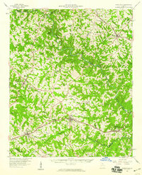 1958 Danielsville1959 Print · USGSNortheast Georgia at the end of the fifties reveals a landscape defined by the Broad River and a dense network of rural parish life. Genealogists can trace family roots through numerous local landmarks like Harrison Sch, Masons Mill, and Vanna Chapel.
 - 1972 Map of Danielsville South, 1974 Print
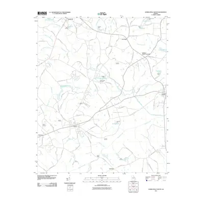
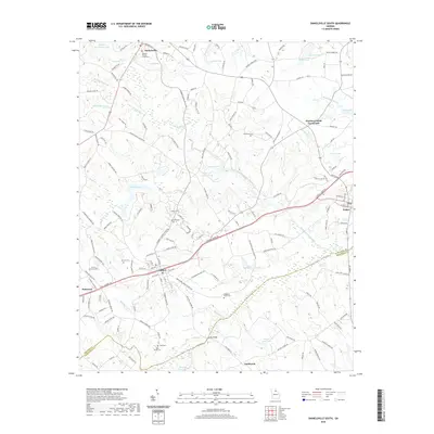
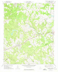 1972 Danielsville South1974 Print · USGSMadison County's agricultural and transit corridors are captured here during the 1970s. Genealogists and historians can trace family locations through numerous rural landmarks like Collier Ch, the Hitchcock Cem, and the path of the Seaboard Coast Line railroad.
 - 1972 Map of Danielsville North, 1974 Print
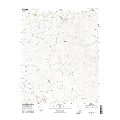
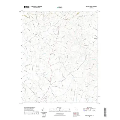
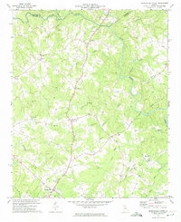 1972 Danielsville North1974 Print · USGSMadison County's rural character is preserved here in the early seventies, showing a landscape of river-fed valleys and quiet crossroads. Genealogists can trace family ties at Bethel Cem, Jones Chapel, and the historic county seat of Danielsville.2 unique versions available
 - 1979 Map of Commerce, 1980 Print
 1979 Commerce1980 Print · USGSThe Georgia and South Carolina Piedmont reached a period of significant regional growth in the late seventies. Genealogists and historians can trace family roots through locations like Blackberry Church, Old Pioneer Cem, and the Gillsville Sch.2 unique versions available
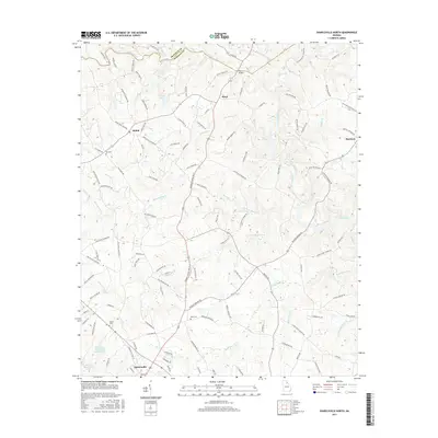
 - 2011 Map of Danielsville North, 2011 Print
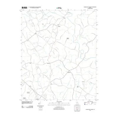 2011 Danielsville North2011 Print · USGSCovers Danielsville, including Bluestone, Bond, and other nearby areas
 - 2011 Map of Danielsville South, 2011 Print
 2011 Danielsville South2011 Print · USGSCovers Danielsville, including Comer, Colbert, and other nearby areas
 - 2014 Map of Danielsville South, 2014 Print
 2014 Danielsville South2014 Print · USGSCovers Danielsville, including Comer, Colbert, and other nearby areas
 - 2014 Map of Danielsville North, 2014 Print
 2014 Danielsville North2014 Print · USGSCovers Danielsville, including Bluestone, Bond, and other nearby areas
 - 2017 Map of Danielsville South, 2017 Print
 2017 Danielsville South2017 Print · USGSCovers Danielsville, including Comer, Colbert, and other nearby areas
 - 2017 Map of Danielsville North, 2017 Print
 2017 Danielsville North2017 Print · USGSCovers Danielsville, including Bluestone, Bond, and other nearby areas
 - 2020 Map of Danielsville North, 2020 Print
 2020 Danielsville North2020 Print · USGSCovers Danielsville, including Bluestone, Bond, and other nearby areas
 - 2020 Map of Danielsville South, 2020 Print
 2020 Danielsville South2020 Print · USGSCovers Danielsville, including Comer, Colbert, and other nearby areas
 - 2024 Map of Danielsville North, 2024 Print
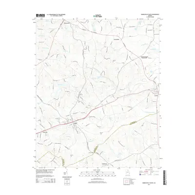
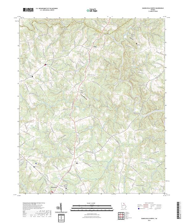 2024 Danielsville North2024 Print · USGSMadison County's river valleys and rural crossroads are captured here as they appeared in the twenty-first century. Researchers can locate ancestral burial grounds at Shiloh Cem and Ware Cem or trace old river crossings at Bragg Ferry.
 - 2024 Map of Danielsville South, 2024 Print
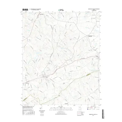
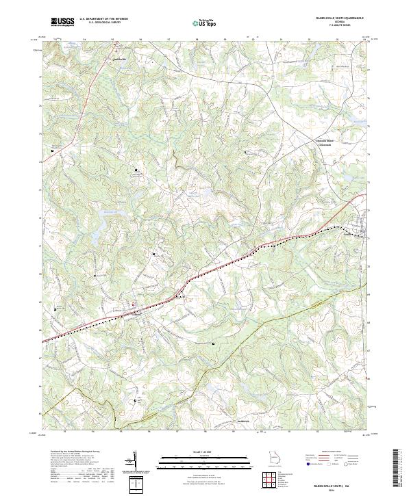 2024 Danielsville South2024 Print · USGSNortheastern Georgia's rolling landscape is captured in the modern era as Danielsville and Colbert continue to serve as local hubs. Genealogists can trace family lines at several small burial grounds, including Kincaid Cem and Waggoner Grove Cem.
End of results
Showing maps 1-17 of 17
Top cities near Danielsville
- Athens historical maps
- Commerce historical maps
- Royston historical maps
- Nicholson historical maps
- Winterville historical maps
- Comer historical maps
See more
Frequently asked questions
- What are the different types of historical maps available for Danielsville?
- What is the oldest map of Danielsville?
- Where can I purchase historical maps of Danielsville for my home or office?
- Where can I download high-res historical maps of Danielsville?
- Are there historical topographic maps available for Danielsville?
- Is there historical aerial imagery available for Danielsville?
- Where are historical maps of Danielsville sourced from?