2010s Maps of Marion County, Georgia
Explore 36 historic maps of Marion County from the 2010s. These maps offer a rare glimpse into what life looked like during the 2010s — showing old roads, neighborhoods, homes, and landmarks that have changed or disappeared over time.
Whether you're researching your family's past, planning a metal detecting trip, or studying how Marion County's landscape evolved across the 2010s, these high-resolution maps are a powerful tool for exploring the history of this region.
- Focus on a specific era: All maps on this page are from the 2010s, giving you a focused view of this time period.
- See what’s changed: Compare century-old streets, trails, and buildings to today's modern landscape using overlays and satellite layers.
- Research with precision: Use these maps for genealogy, historical research, land use analysis, or educational projects.
- View, download, or print: Maps are fully viewable online in high resolution, and can be downloaded or printed for your own records.
Start exploring Marion County's history through authentic maps from the 2010s. This is your window into the past.
Marion County, GA maps
(36)- 2011 Map of Brooklyn, 2011 Print
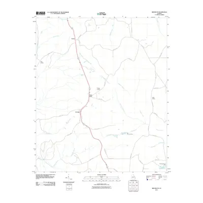 2011 Brooklyn2011 Print · USGSThe rural settlements of Brooklyn and Renfroe are documented here in the early twenty-first century, showing the established road networks and creek systems of the Georgia interior. Researchers can locate family landmarks like Saint Phillip's Cemetery and Van Cleve Lake.
 - 2011 Map of Upatoi, 2011 Print
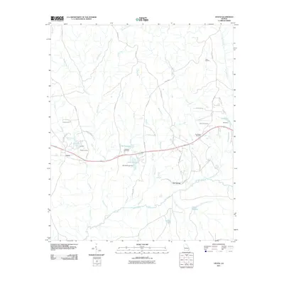 2011 Upatoi2011 Print · USGSWest Georgia's creek-laced countryside comes into focus in this early 2000s survey of the rural landscape near Columbus. Genealogists and historians can trace local family landmarks and infrastructure including Box Springs Post Office, Liberty Hill Cemetery, and Kings Millpond.
 - 2011 Map of Junction City, 2011 Print
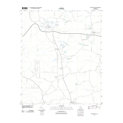 2011 Junction City2011 Print · USGSJunction City and its surrounding hamlets are captured here in the early twenty-first century, showing the enduring rural character of Talbot County. Researchers can trace family roots through the Pine Level Cemetery or locate old community centers like Norwich and the Howard Post Office.
 - 2011 Map of Tazewell North, 2011 Print
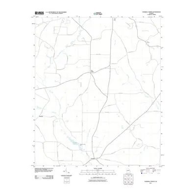 2011 Tazewell North2011 Print · USGSMarion County, Georgia, is documented here in the early twenty-first century as a landscape of small rural junctions and winding creek beds. Genealogists and local historians can trace family locations near Tazewell, Trinity Cemetery, or the historic Mauk Post Office.
 - 2011 Map of Draneville, 2011 Print
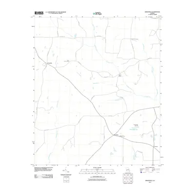 2011 Draneville2011 Print · USGSWestern Sumter County is captured here in the early twenty-first century, showing a rural landscape shaped by winding creek systems. Researchers can trace family history through the Mount Carmel and Friendship Cemetery or locate landmarks like the Ira Kelly Bridge.
 - 2011 Map of Glen Alta, 2011 Print
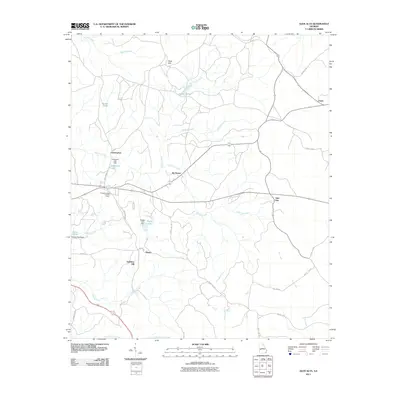 2011 Glen Alta2011 Print · USGSChattahoochee County’s quiet interior is captured here in the early twenty-first century, featuring a rural network of creeks and small settlements. Local historians can trace family locations and land use around Glen Alta, the Chattahoochee Lookout Tower, and Ida Vesper.
 - 2011 Map of Buena Vista NW, 2011 Print
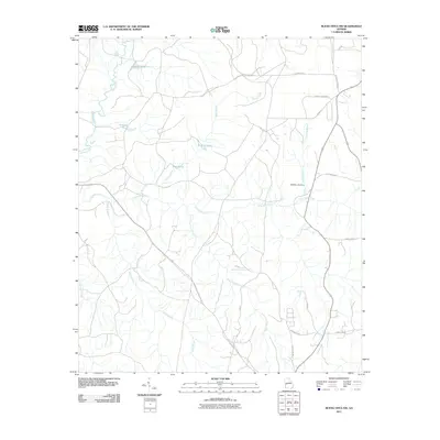 2011 Buena Vista NW2011 Print · USGSNear Columbus in the early twenty-first century, this landscape is defined by the winding drainages of Upatoi Creek and Pine Knot Creek. Researchers can trace old family landmarks and local waterworks like Williette Lake Dam, McMath Pond, and Averetts Pond.
 - 2011 Map of Geneva, 2011 Print
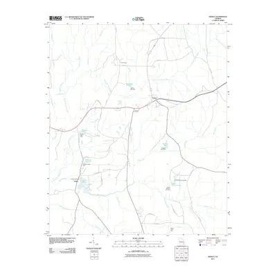 2011 Geneva2011 Print · USGSGeneva and the surrounding Talbot County countryside are captured here in the early twenty-first century, showing a landscape defined by creek forks and small reservoirs. Trace local family history and land use through Geneva Cemetery, Juniper Lake, and Cobb Cemetery.
 - 2011 Map of Church Hill, 2011 Print
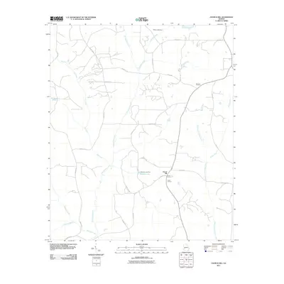 2011 Church Hill2011 Print · USGSMarion County, Georgia, is shown here in the early twenty-first century, a landscape of winding creeks and quiet rural settlements. Genealogists can locate family landmarks like Old Union Cemetery, Smyrna Cemetery, and the community of Church Hill.
 - 2011 Map of Buena Vista NE, 2011 Print
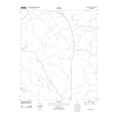 2011 Buena Vista NE2011 Print · USGSOakland and the surrounding rural landscape of Marion County are seen here during a period of modern stability. Genealogists and local historians can trace family-named roads and waterways including Woody Stubbs Road, Kinchafoonee Creek, and Melton Lake.
 - 2011 Map of Buena Vista, 2011 Print
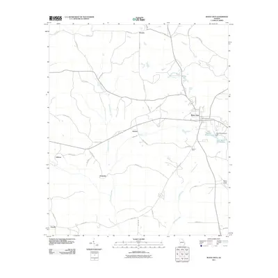 2011 Buena Vista2011 Print · USGSMarion County in the early twenty-first century reveals a network of rural communities centered on the town of Buena Vista. Researchers can trace the layout of small settlements like Brantley and Zellobee alongside landmarks such as Marion County Airport.
 - 2011 Map of Tazewell South, 2011 Print
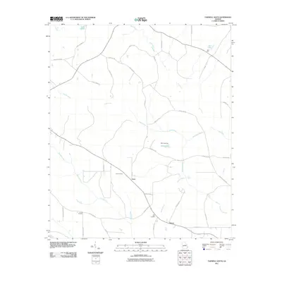 2011 Tazewell South2011 Print · USGSMarion County at the start of the 2010s reveals a quiet landscape of agricultural roots and family homesteads. Genealogists and local historians can trace the community connections between Doyle and Putnam, or locate ancestral sites at Corinth Cemetery and Doyle Cemetery.
 - 2014 Map of Draneville, 2014 Print
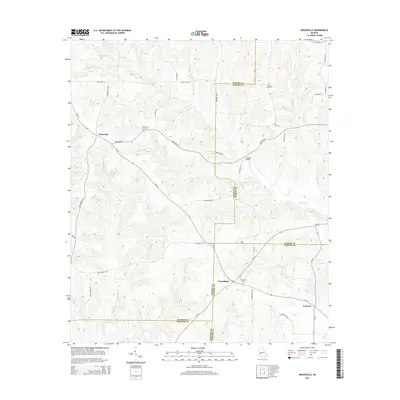 2014 Draneville2014 Print · USGSThis rural Georgia landscape at the intersection of four counties shows a deeply rooted agricultural and creek-fed community. Genealogists can trace family heritage at Frasier Smith Cem and Mt Carmel Cem or locate the old Ira Kelly Bridge over the Muckalee.
 - 2014 Map of Buena Vista NE, 2014 Print
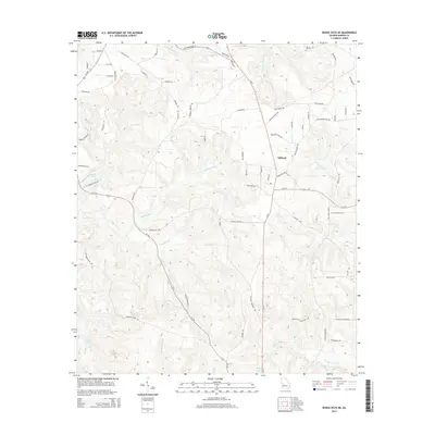 2014 Buena Vista NE2014 Print · USGSOakland and the surrounding Marion County countryside are documented here in the mid-2010s. Researchers can trace the watercourses of Kinchafonee Cr and Parkers Mill Cr or locate family-named landmarks like Palmer Cemetery Rd.
 - 2014 Map of Geneva, 2014 Print
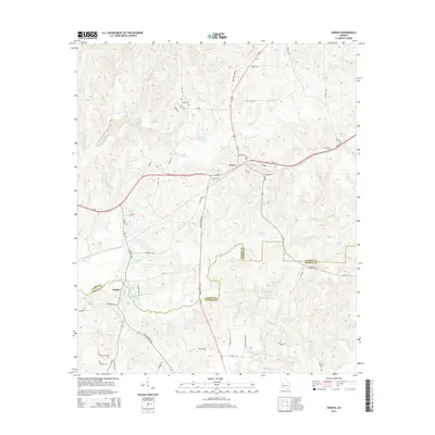 2014 Geneva2014 Print · USGSThe West Georgia timberlands and creek valleys are mapped here in the early twenty-first century, centered on the historic crossroads of Geneva. Researchers can trace local lineage through Cobb Cem and Geneva Cem or locate old water features like Juniper Lake.
 - 2014 Map of Tazewell North, 2014 Print
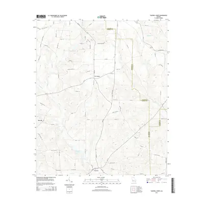 2014 Tazewell North2014 Print · USGSMarion and Taylor counties are captured here in the early twenty-first century as the traditional rural landscape remains intact. Researchers can locate family landmarks such as Trinity Cem and Tazewell, or trace the historical routes of Fort Perry Rd and Poll Mill Rd.
 - 2014 Map of Glen Alta, 2014 Print
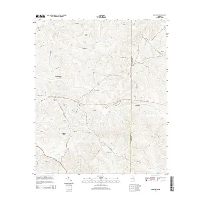 2014 Glen Alta2014 Print · USGSMidpoint, Georgia, is documented here in the 2010s, showing a rural landscape where Chattahoochee and Marion counties meet. Researchers can trace local landmarks like Ida Vesper, the Chattahoochee Lookout Tower, and family-named features like Daniels Pond.
 - 2014 Map of Buena Vista, 2014 Print
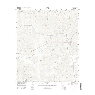 2014 Buena Vista2014 Print · USGSMarion County settlement patterns are clearly visible in the mid-2010s, centered on the historic streets of Buena Vista. Researchers can trace rural community life through outlying locales like Elmview and Zellobee, or follow the hydrology of Kinchafonee Cr.
 - 2014 Map of Tazewell South, 2014 Print
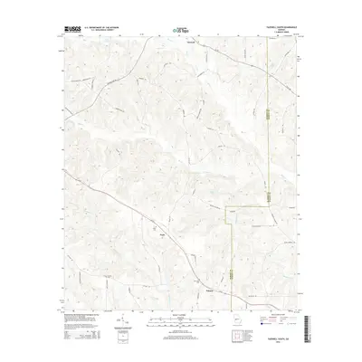 2014 Tazewell South2014 Print · USGSMarion County's rural landscape is captured here in the early twenty-first century, showing the established communities of the Georgia interior. Researchers can find generational landmarks including Corinth Cem, Doyle Cem, and the quiet crossroads of Tazewell.
 - 2014 Map of Junction City, 2014 Print
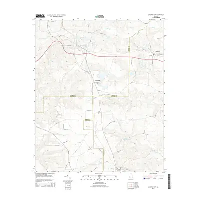 2014 Junction City2014 Print · USGSThe rural borderlands of Talbot, Taylor, and Marion counties are captured here in the early twenty-first century. Researchers can trace family history through sites like Level Cem and Mauk Cem or locate the old milling sites at Parks Millpond and Watson Millpond.
 - 2014 Map of Church Hill, 2014 Print
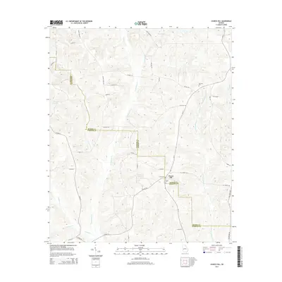 2014 Church Hill2014 Print · USGSMarion and Webster counties meet in this rural Georgia landscape during the early 2010s. Genealogists can locate family burial sites at Old Union Cem and Smyrna Cem, or trace the winding course of Kinchafoonee Cr and Slaughter Cr.
 - 2014 Map of Brooklyn, 2014 Print
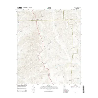 2014 Brooklyn2014 Print · USGSStewart and Chattahoochee counties appear in the early twenty-first century as a landscape of rural settlements and winding creeks. Researchers can trace family sites like Saint Phillip's Cem and Pickett Shipley Cem along the waters of Slaughter Cr.
 - 2014 Map of Upatoi, 2014 Print
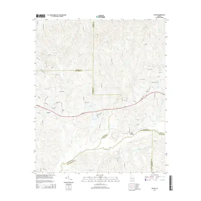 2014 Upatoi2014 Print · USGSThe Georgia Piedmont at the Muscogee and Talbot county line shows a landscape of winding creeks and small rural settlements. Researchers can trace local family landmarks through Phillips Cem and Liberty Hill Cem or locate the site of Kings Millpond.
 - 2014 Map of Buena Vista NW, 2014 Print
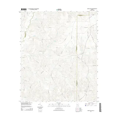 2014 Buena Vista NW2014 Print · USGSThis part of rural Georgia is shown here at the start of the 2010s, where the borders of Muscogee, Chattahoochee, and Marion Counties meet. Genealogists and hikers can trace the winding paths of Buena Vista Rd and explore the edges of Averetts Pond and Willetts Lake.
 - 2017 Map of Tazewell North, 2017 Print
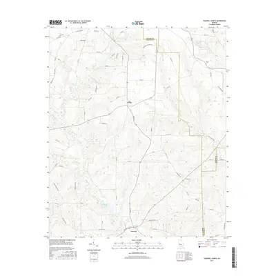 2017 Tazewell North2017 Print · USGSThe rural crossroads of Marion County are captured here in the late twenty-teens, showing a landscape of small farms and winding creeks. Researchers can locate family landmarks like Trinity Cem and trace the paths of Old Chishom Trl and Shoal Cr.
Showing maps 1-25 of 36
Top cities of Marion County
Frequently asked questions
- What are the different types of historical maps available for Marion County?
- What is the oldest map of Marion County?
- Where can I purchase historical maps of Marion County for my home or office?
- Where can I download high-res historical maps of Marion County?
- Are there historical topographic maps available for Marion County?
- Is there historical aerial imagery available for Marion County?
- Where are historical maps of Marion County sourced from?