2020s Maps of Marion County, Georgia
Explore 24 historic maps of Marion County from the 2020s. These maps offer a rare glimpse into what life looked like during the 2020s — showing old roads, neighborhoods, homes, and landmarks that have changed or disappeared over time.
Whether you're researching your family's past, planning a metal detecting trip, or studying how Marion County's landscape evolved across the 2020s, these high-resolution maps are a powerful tool for exploring the history of this region.
- Focus on a specific era: All maps on this page are from the 2020s, giving you a focused view of this time period.
- See what’s changed: Compare century-old streets, trails, and buildings to today's modern landscape using overlays and satellite layers.
- Research with precision: Use these maps for genealogy, historical research, land use analysis, or educational projects.
- View, download, or print: Maps are fully viewable online in high resolution, and can be downloaded or printed for your own records.
Start exploring Marion County's history through authentic maps from the 2020s. This is your window into the past.
Marion County, GA maps
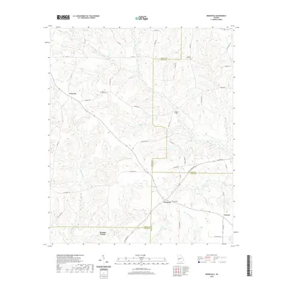
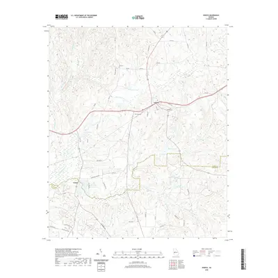
(24)- 2020 Map of Buena Vista NE, 2020 Print
 2020 Buena Vista NE2020 Print · USGSCovers Marion County, including Oakland, United States, and other nearby areas
 - 2020 Map of Buena Vista NW, 2020 Print
 2020 Buena Vista NW2020 Print · USGSCovers Marion County, including Columbus, Muscogee County, and other nearby areas
 - 2020 Map of Draneville, 2020 Print
 2020 Draneville2020 Print · USGSCovers Marion County, including Concord, Draneville, and other nearby areas
 - 2020 Map of Brooklyn, 2020 Print
 2020 Brooklyn2020 Print · USGSCovers Marion County, including Renfroe, Brooklyn, and other nearby areas
 - 2020 Map of Junction City, 2020 Print
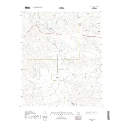 2020 Junction City2020 Print · USGSCovers Marion County, including Junction City, Mauk, and other nearby areas
 - 2020 Map of Tazewell North, 2020 Print
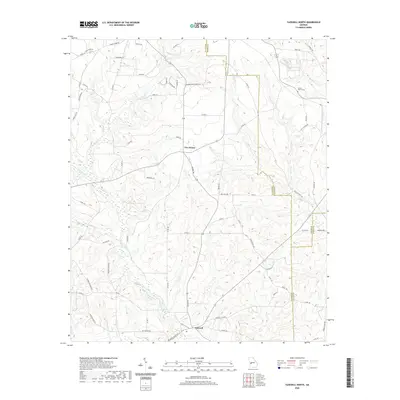 2020 Tazewell North2020 Print · USGSCovers Marion County, including Five Points, Tazewell, and other nearby areas
 - 2020 Map of Geneva, 2020 Print
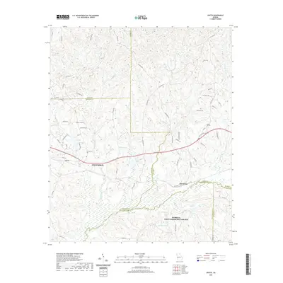
 2020 Geneva2020 Print · USGSCovers Marion County, including Geneva, Juniper, and other nearby areas
 - 2020 Map of Church Hill, 2020 Print
 2020 Church Hill2020 Print · USGSCovers Marion County, including Church Hill, Webster County, and other nearby areas
 - 2020 Map of Tazewell South, 2020 Print
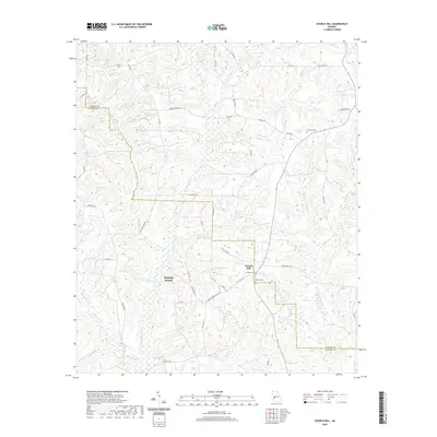
 2020 Tazewell South2020 Print · USGSCovers Marion County, including Doyle, Tazewell, and other nearby areas
 - 2020 Map of Upatoi, 2020 Print
 2020 Upatoi2020 Print · USGSCovers Marion County, including Columbus, Box Springs, and other nearby areas
 - 2020 Map of Buena Vista, 2020 Print
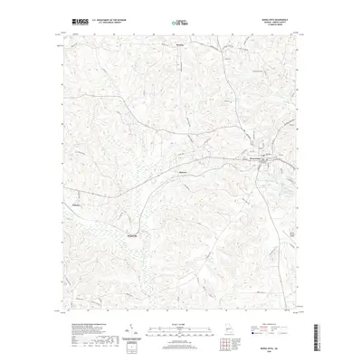 2020 Buena Vista2020 Print · USGSCovers Marion County, including Buena Vista, Berginville, and other nearby areas
 - 2020 Map of Glen Alta, 2020 Print
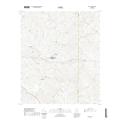 2020 Glen Alta2020 Print · USGSCovers Marion County, including Midpoint, Christopher, and other nearby areas
 - 2024 Map of Church Hill, 2024 Print
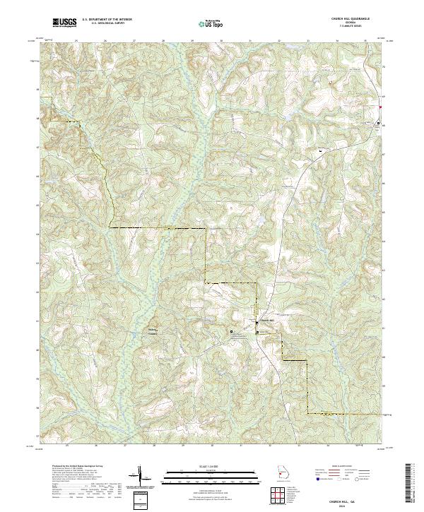 2024 Church Hill2024 Print · USGSThe Marion and Webster County line comes alive in the mid-2020s, showing a rural landscape defined by deep creek bottoms and country crossroads. Genealogists can trace family footprints at Old Union Cem, Smyrna Cem, and the Evans Chapel CME Church.
 - 2024 Map of Geneva, 2024 Print
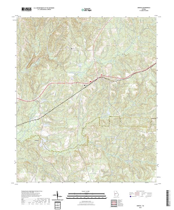 2024 Geneva2024 Print · USGSThe borderlands of Talbot and Marion counties appear in this recent survey, showcasing a landscape defined by the drainage of Upatoi Creek. Researchers can trace local heritage through the sites of Geneva Cem and Cobb Cem or the smaller settlement of Juniper.
 - 2024 Map of Buena Vista NE, 2024 Print
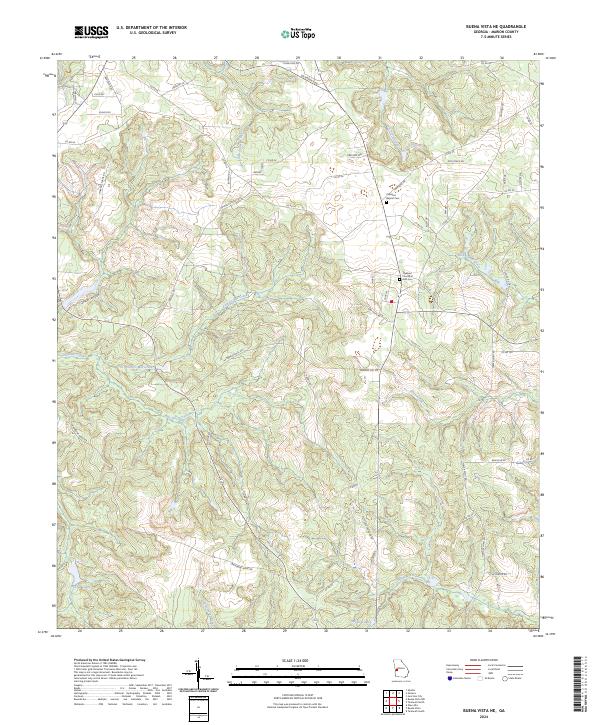 2024 Buena Vista NE2024 Print · USGSMarion County's rural landscape comes into focus in this recent survey of the region northeast of Buena Vista. Genealogists and researchers can trace local family landmarks and burial sites at the Oakland Baptist Cem, the Oakland Church of God Cem, and the settlement of Bethany.
 - 2024 Map of Upatoi, 2024 Print
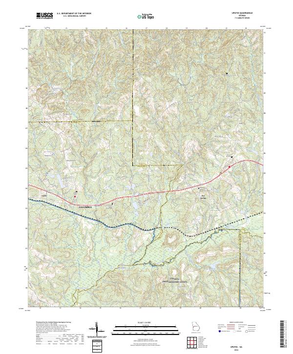 2024 Upatoi2024 Print · USGSThe rural borderlands east of Columbus are mapped here in the modern era, showing the quiet transition between several Georgia counties. Researchers can trace family history through sites like Box Springs, Hollis Cem, and Mount Paron Primitive Baptist Church Cem.
 - 2024 Map of Draneville, 2024 Print
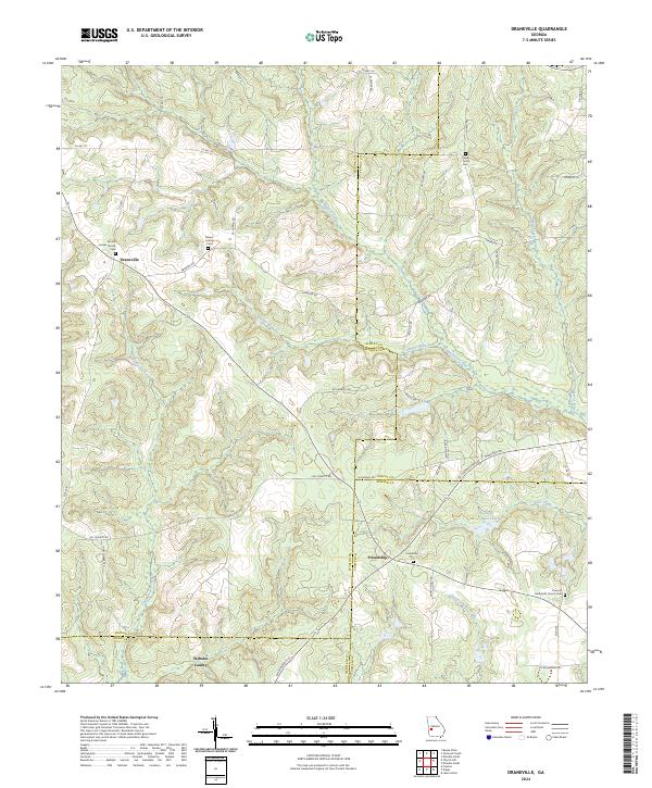 2024 Draneville2024 Print · USGSMarion and Schley counties are shown here as they appeared in recent years, dominated by winding creek branches and rural farm roads. Local historians can trace family roots through sites like Frasier Smith Cem and the Concord Methodist Church.
 - 2024 Map of Buena Vista NW, 2024 Print
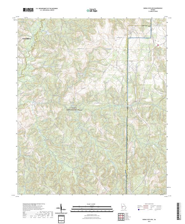 2024 Buena Vista NW2024 Print · USGSThe Fort Benning training grounds and the headwaters of Upatoi Creek are captured here in the twenty-first century. Researchers can trace land use patterns near Gallups Millpond, the Concord-Landing Strip, and numerous small family-named ponds.
 - 2024 Map of Tazewell North, 2024 Print
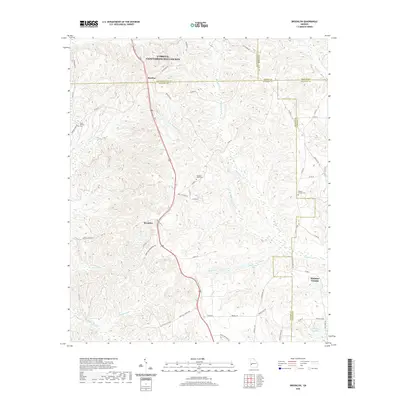
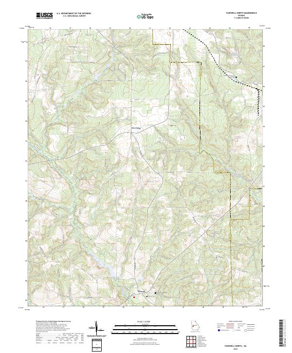 2024 Tazewell North2024 Print · USGSMarion County at the start of the 2020s shows a quiet landscape of rural crossroads and old cemeteries. Trace family roots at Tazewell Cem and find historic routes like the Old Chishom Trl near Five Points.
 - 2024 Map of Glen Alta, 2024 Print
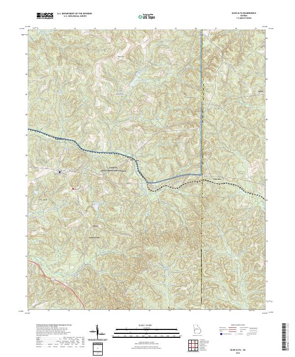 2024 Glen Alta2024 Print · USGSThe rural landscape of Chattahoochee County is shown in detail during the twenty-twenties. Genealogists can trace family landmarks like Zion Hill Baptist Church Cem and old settlements including Ida Vesper and Manta.
 - 2024 Map of Junction City, 2024 Print
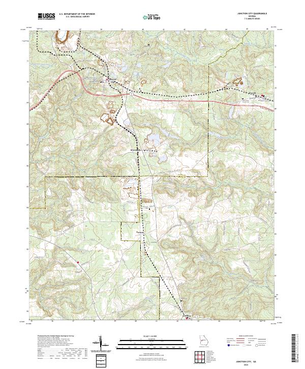 2024 Junction City2024 Print · USGSThe rural borderlands of Talbot, Marion, and Taylor counties come into focus in this contemporary survey of West Georgia. Researchers can trace historic community centers like Junction City and Howard, alongside local landmarks such as Parks Millpond and Mauk Cem.
 - 2024 Map of Buena Vista, 2024 Print
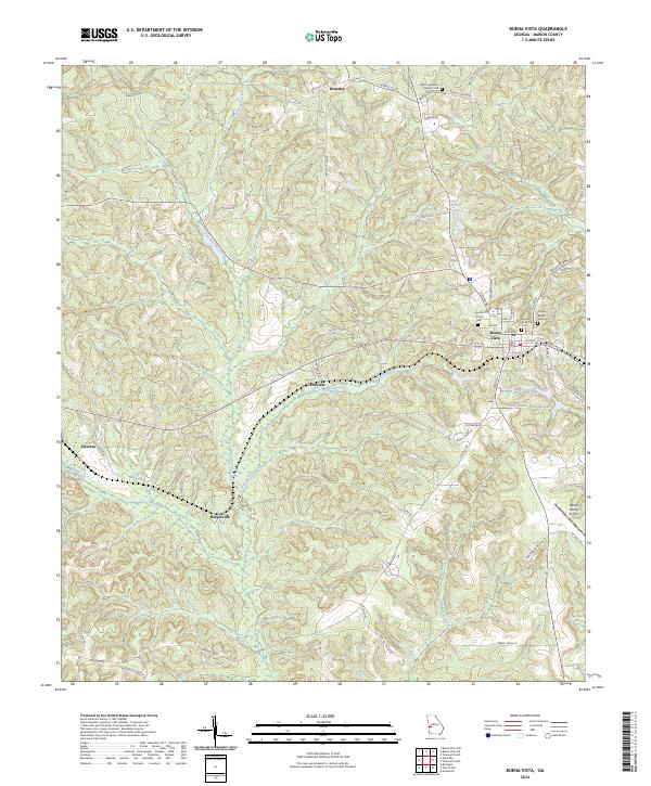 2024 Buena Vista2024 Print · USGSMarion County comes into focus in this recent survey, centered on the historic crossroads of Buena Vista. Genealogists and local historians can trace family locations near the Ramah Church Cem or study the rural reaches of Zellobee and Elmview.
 - 2024 Map of Brooklyn, 2024 Print
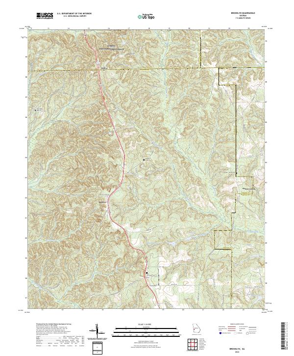 2024 Brooklyn2024 Print · USGSStewart County's rural crossroads and family homesteads are preserved here in the modern era. Genealogists can trace local heritage through sites like Red Hill Christian Church Cem, Brooklyn, and the Pickett - Brooks Cem.
 - 2024 Map of Tazewell South, 2024 Print
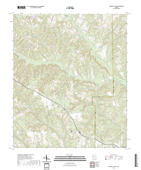 2024 Tazewell South2024 Print · USGSMarion and Schley Counties are presented here in the early twenty-first century, showing the enduring rural layout of the Georgia interior. Researchers can find precise locations for family-named roads and historic burial grounds like Mount Zion Cem, Corinth Cem, and the settlement at Doyle.
End of results
Showing maps 1-24 of 24
Top cities of Marion County
Frequently asked questions
- What are the different types of historical maps available for Marion County?
- What is the oldest map of Marion County?
- Where can I purchase historical maps of Marion County for my home or office?
- Where can I download high-res historical maps of Marion County?
- Are there historical topographic maps available for Marion County?
- Is there historical aerial imagery available for Marion County?
- Where are historical maps of Marion County sourced from?