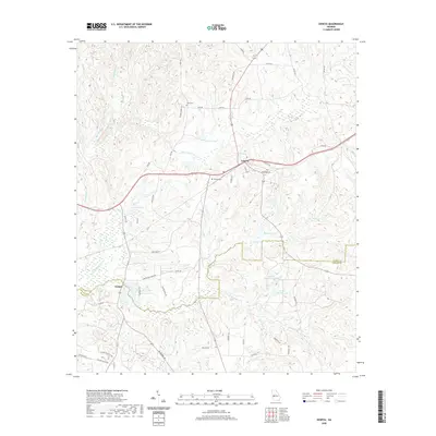
2020 Map of Geneva
USGS Topo · Published 2020About this map
The town of Geneva sits at a crossroads in the Georgia landscape, where modern routes meet historic paths like Old Hwy 96 and Wood Yard Rd. This 2020 survey illustrates a region defined by its complex hydrology, dominated by the S Fork Upatoi Cr and its numerous tributaries such as Jack Br and Dry Cr. The landscape is dotted with several named bodies of water, including Hellens Lake, Juniper Lake, and Badcock Lake, suggesting a mix of natural drainage and man-made impoundments characteristic of the local geography.
Find a feature on this map
59 named features on this map. Tap any name to fly to it.
Don’t see what you’re looking for? This feature index may not catch every label — zoom into the map to look around manually.
Map Details
Editions of this 2020 Geneva Map
This is the sole edition of this map. No revisions or reprints were ever made.
Other maps of this area

1907 · Talbotton
USGS Topo · 1:125,000

1949 · Upatoi
USGS Topo · 1:24,000

1949 · Buena Vista NW
USGS Topo · 1:24,000

1950 · Talbotton
USGS Topo · 1:24,000

1950 · Geneva
USGS Topo · 1:24,000

1950 · Waverly Hall
USGS Topo · 1:24,000

1950 · Buena Vista NE
USGS Topo · 1:24,000

1950 · Buena Vista
USGS Topo · 1:62,500

1950 · Talbotton
USGS Topo · 1:62,500

1955 · Talbotton
USGS Topo · 1:24,000