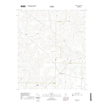
2020 Map of Draneville
USGS Topo · Published 2020About this map
Draneville sits at a historic crossroads in rural Georgia, marking a landscape defined by its multi-county convergence and intricate drainage systems. The terrain is deeply carved by the headwaters of several significant streams, including the winding Lanahassee Cr and Muckalee Cr, which flow through a region where the borders of Marion, Schley, Sumter, and Webster Counties meet. This 2020 record captures the enduring rural character of these communities, where family and local history are anchored by sites such as the Frasier-Smith Cem and Mount Carmel Cem.
Find a feature on this map
48 named features on this map. Tap any name to fly to it.
Don’t see what you’re looking for? This feature index may not catch every label — zoom into the map to look around manually.
Map Details
Editions of this 2020 Draneville Map
This is the sole edition of this map. No revisions or reprints were ever made.
Other maps of this area

1950 · Buena Vista
USGS Topo · 1:24,000

1950 · Buena Vista
USGS Topo · 1:62,500

1955 · Buena Vista
USGS Topo · 1:24,000
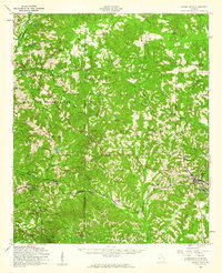
1955 · Buena Vista
USGS Topo · 1:62,500

1955 · Phenix City
USGS Topo · 1:250,000

1957 · Phenix City
USGS Topo · 1:250,000

1958 · Phenix City
USGS Topo · 1:250,000

1971 · Ellaville North
USGS Topo · 1:24,000

1971 · Tazewell South
USGS Topo · 1:24,000
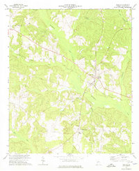
1972 · Preston
USGS Topo · 1:24,000