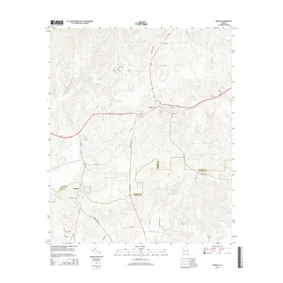
2014 Map of Geneva
USGS Topo · Published 2014About this map
S Fork Upatoi Cr and its various tributaries define the landscape of this West Georgia region, where the town of Geneva sits at the junction of Us-80 and Ga-22. The terrain is marked by numerous small impoundments and family-named water bodies, including Hellens Lake, Meadows Lake, and Juniper Lake. The settlement of Juniper is positioned to the southwest, situated near the confluence of Upatoi Cr and Little Juniper Cr.
Find a feature on this map
63 named features on this map. Tap any name to fly to it.
Don’t see what you’re looking for? This feature index may not catch every label — zoom into the map to look around manually.
Map Details
Editions of this 2014 Geneva Map
This is the sole edition of this map. No revisions or reprints were ever made.
Other maps of this area

1907 · Talbotton
USGS Topo · 1:125,000

1949 · Upatoi
USGS Topo · 1:24,000

1949 · Buena Vista NW
USGS Topo · 1:24,000

1950 · Talbotton
USGS Topo · 1:24,000

1950 · Geneva
USGS Topo · 1:24,000

1950 · Waverly Hall
USGS Topo · 1:24,000

1950 · Buena Vista NE
USGS Topo · 1:24,000

1950 · Buena Vista
USGS Topo · 1:62,500

1950 · Talbotton
USGS Topo · 1:62,500

1955 · Talbotton
USGS Topo · 1:24,000