Old Maps of Reynolds, Georgia for Academic Research
Study the evolution of Reynolds with 16 high-resolution historic maps. Whether you're teaching, researching, or modeling changes in land use, these maps provide essential visual documentation of urban, environmental, and geographic change.
- Analyze long-term change: Track patterns in development, transportation, and natural features.
- Ideal for environmental or urban studies: Support academic projects with primary historical map data.
- Use in the classroom or lab: Educators and researchers rely on these maps to bring historical context to life.
These maps are a powerful tool for teaching, research, and visualizing how Reynolds has changed over the decades.
Reynolds, GA maps
(16)- 1955 Map of Phenix City, 1964 Print
 1955 Phenix City1964 Print · USGSPost-war Alabama and Georgia meet along the Chattahoochee River as industry and military installations expand. Trace the rail lines of the Central of Georgia through towns like Opelika, Tuskegee, and Alexander City.3 unique versions available
 - 1957 Map of Phenix City
 1957 Phenix City1957 Print · USGSThe Alabama-Georgia borderlands are captured here in the mid-fifties, centered on the bustling river crossing at Phenix City and Columbus. Researchers can trace the mid-century footprint of the Fort Benning Military Reservation or locate smaller textile and railroad towns like Langdale and Camp Hill.
 - 1958 Map of Phenix City
 1958 Phenix City1958 Print · USGSThe Alabama-Georgia borderlands thrive during the late fifties, anchored by the river-driven industry of Columbus and Phenix City. Researchers can trace the mid-century footprints of Fort Benning, Auburn, and the textile towns of Fairfax and Lanett.
 - 1971 Map of Reynolds, 1973 Print
 1971 Reynolds1973 Print · USGSTaylor County settlement centers on the railroad crossroads of the early seventies, where the river lowlands meet upland farms. Researchers can trace family history at Potterville, locate the White Hill Cem, or explore the reaches of Magnolia Swamp.2 unique versions available
 - 1971 Map of Butler East, 1974 Print
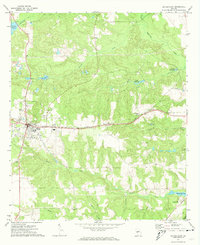 1971 Butler East1974 Print · USGSTaylor County settlement in the early 1970s revolves around the Butler town center and the Central of Georgia rail line. Genealogists and local historians can trace rural landmarks from Panhandle to Potterville, including Turners Chapel and several historic millponds.
 - 1981 Map of Thomaston, 1982 Print
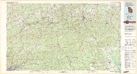 1981 Thomaston1982 Print · USGSCentral Georgia’s ridgeline and river country comes into focus in this early 1980s survey of the Pine Mountain corridor. Researchers can trace historic church sites like Oak Grove Ch, the rail junctions at Manchester, and the expansive Franklin D Roosevelt State Park.
 - 2011 Map of Butler East, 2011 Print
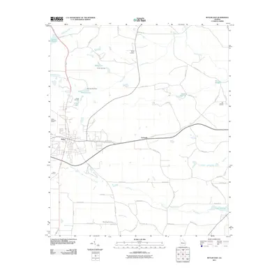 2011 Butler East2011 Print · USGSTaylor County at the start of the 2010s reveals a landscape of rural crossroads and historic millponds surrounding the town of Butler. Researchers can locate family landmarks at Turners Chapel Cemetery or trace the waterways of Minors Millpond and Horse Creek.
 - 2011 Map of Reynolds, 2011 Print
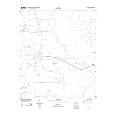 2011 Reynolds2011 Print · USGSTaylor County at the start of the century is defined by rural settlements and the winding Flint River. Genealogists and local historians can locate community landmarks like Potterville, New Hope Cemetery, and the banks of Patsiliga Creek.
 - 2014 Map of Reynolds, 2014 Print
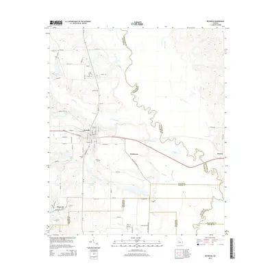 2014 Reynolds2014 Print · USGSThe rural landscape around Reynolds is captured here in the early twenty-first century, centered on the strategic crossing of GA-96 and GA-128. Genealogists can trace family heritage through local landmarks like White Hill Cem, Potterville, and the banks of the Flint River.
 - 2014 Map of Butler East, 2014 Print
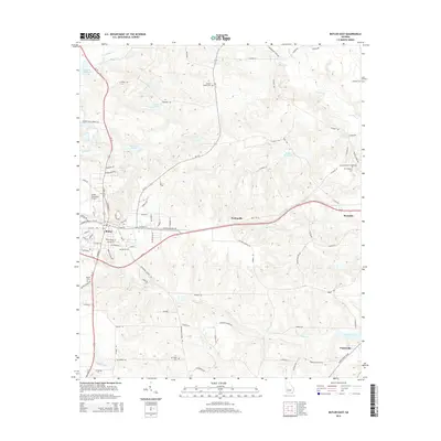 2014 Butler East2014 Print · USGSTaylor County at the start of the 2010s shows a landscape of small settlements and traditional mill sites. Genealogists can trace family names through Turners Chapel Cem or New Prospect Cem and locate landmarks like McCants Millpond.
 - 2017 Map of Butler East, 2017 Print
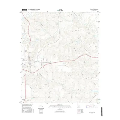 2017 Butler East2017 Print · USGSTaylor County at the turn of the 21st century reveals a landscape where modern infrastructure meets historic rural settlements. Genealogists and local historians can trace family sites at Mount Pisgah Cemetery or explore the old mill sites at Suggs Millpond and Potterville.
 - 2017 Map of Reynolds, 2017 Print
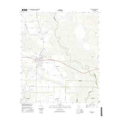 2017 Reynolds2017 Print · USGSThe town of Reynolds and its surrounding swamplands are shown here in the mid-2010s as the modern highway system interfaces with the Flint River wetlands. Historians can trace the locations of several rural burial sites, including White Hill Cem and Newsom Cem, alongside natural landmarks like Magnolia Swamp.
 - 2020 Map of Butler East, 2020 Print
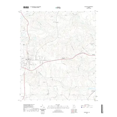 2020 Butler East2020 Print · USGSButler and the surrounding Taylor County countryside are captured here in the contemporary era, showing the intersection of local history and modern transit. Researchers can trace family sites at Bethel Cem, explore the rural settlement of Panhandle, or locate the Taylor County Courthouse.
 - 2020 Map of Reynolds, 2020 Print
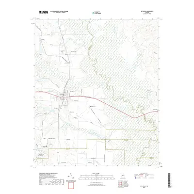 2020 Reynolds2020 Print · USGSTaylor County in the modern era maintains its rural character and riverine connections at the edge of the Fall Line. Genealogists and local researchers can trace family landmarks like New Hope Cem, White Hill Cem, and the small community of Potterville.
 - 2024 Map of Butler East, 2024 Print
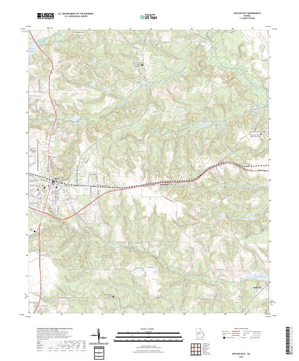 2024 Butler East2024 Print · USGSTaylor County, Georgia, is shown here in its modern configuration, centered on the activity of Butler and surrounding rural settlements. Researchers can trace family history through sites like Bethel Cem or explore local landmarks like Minors Millpond and the Butler Municipal Airport.
 - 2024 Map of Reynolds, 2024 Print
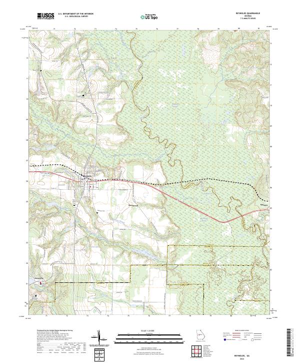 2024 Reynolds2024 Print · USGSTaylor County and its neighboring borders are documented here in the early twenty-first century, showcasing the region's river-driven geography. Genealogists can trace family roots through numerous local landmarks like Taylor Mill Baptist Church Cem, Potterville, and the White Hill Cem.
End of results
Showing maps 1-16 of 16
Top cities near Reynolds
- Macon historical maps
- Fort Valley historical maps
- Butler historical maps
- Marshallville historical maps
- Roberta historical maps
- Ideal historical maps
See more
Frequently asked questions
- What are the different types of historical maps available for Reynolds?
- What is the oldest map of Reynolds?
- Where can I purchase historical maps of Reynolds for my home or office?
- Where can I download high-res historical maps of Reynolds?
- Are there historical topographic maps available for Reynolds?
- Is there historical aerial imagery available for Reynolds?
- Where are historical maps of Reynolds sourced from?