Old Maps of Reynolds, Georgia for Metal Detecting
Plan your next treasure hunt with 16 historic maps of Reynolds. Find old homesites, ghost towns, trails, and gathering spots that may be lost to time — perfect for identifying promising metal detecting locations.
- Locate forgotten sites: Uncover places like long-lost settlements, abandoned rail lines, or gathering spots.
- Plan better hunts: Use map overlays combined with LiDAR or satellite views to narrow in on historically rich areas.
- Made for detectorists: Thousands of hobbyists use these maps to discover relics, coins, and hidden history.
Use these historic maps to boost your research and find new opportunities beneath the surface of Reynolds.
Reynolds, GA maps
(16)- 1955 Map of Phenix City, 1964 Print
 1955 Phenix City1964 Print · USGSPost-war Alabama and Georgia meet along the Chattahoochee River as industry and military installations expand. Trace the rail lines of the Central of Georgia through towns like Opelika, Tuskegee, and Alexander City.3 unique versions available
 - 1957 Map of Phenix City
 1957 Phenix City1957 Print · USGSThe Alabama-Georgia borderlands are captured here in the mid-fifties, centered on the bustling river crossing at Phenix City and Columbus. Researchers can trace the mid-century footprint of the Fort Benning Military Reservation or locate smaller textile and railroad towns like Langdale and Camp Hill.
 - 1958 Map of Phenix City
 1958 Phenix City1958 Print · USGSThe Alabama-Georgia borderlands thrive during the late fifties, anchored by the river-driven industry of Columbus and Phenix City. Researchers can trace the mid-century footprints of Fort Benning, Auburn, and the textile towns of Fairfax and Lanett.
 - 1971 Map of Reynolds, 1973 Print
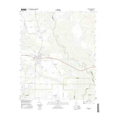
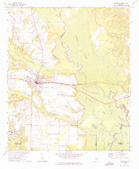 1971 Reynolds1973 Print · USGSTaylor County settlement centers on the railroad crossroads of the early seventies, where the river lowlands meet upland farms. Researchers can trace family history at Potterville, locate the White Hill Cem, or explore the reaches of Magnolia Swamp.2 unique versions available
 - 1971 Map of Butler East, 1974 Print
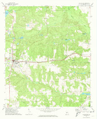 1971 Butler East1974 Print · USGSTaylor County settlement in the early 1970s revolves around the Butler town center and the Central of Georgia rail line. Genealogists and local historians can trace rural landmarks from Panhandle to Potterville, including Turners Chapel and several historic millponds.
 - 1981 Map of Thomaston, 1982 Print
 1981 Thomaston1982 Print · USGSCentral Georgia’s ridgeline and river country comes into focus in this early 1980s survey of the Pine Mountain corridor. Researchers can trace historic church sites like Oak Grove Ch, the rail junctions at Manchester, and the expansive Franklin D Roosevelt State Park.
 - 2011 Map of Butler East, 2011 Print
 2011 Butler East2011 Print · USGSCovers Reynolds, including Butler, Macon County, and other nearby areas
 - 2011 Map of Reynolds, 2011 Print
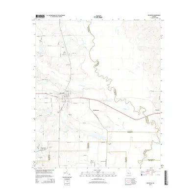
 2011 Reynolds2011 Print · USGSCovers Reynolds, including Beechwood, Potterville, and other nearby areas
 - 2014 Map of Reynolds, 2014 Print
 2014 Reynolds2014 Print · USGSCovers Reynolds, including Beechwood, Potterville, and other nearby areas
 - 2014 Map of Butler East, 2014 Print
 2014 Butler East2014 Print · USGSCovers Reynolds, including Butler, Macon County, and other nearby areas
 - 2017 Map of Butler East, 2017 Print
 2017 Butler East2017 Print · USGSCovers Reynolds, including Butler, Macon County, and other nearby areas
 - 2017 Map of Reynolds, 2017 Print
 2017 Reynolds2017 Print · USGSCovers Reynolds, including Beechwood, Potterville, and other nearby areas
 - 2020 Map of Butler East, 2020 Print
 2020 Butler East2020 Print · USGSCovers Reynolds, including Butler, Macon County, and other nearby areas
 - 2020 Map of Reynolds, 2020 Print
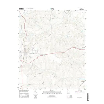
 2020 Reynolds2020 Print · USGSCovers Reynolds, including Beechwood, Potterville, and other nearby areas
 - 2024 Map of Butler East, 2024 Print
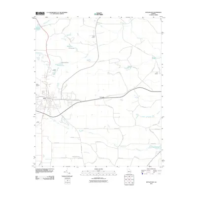
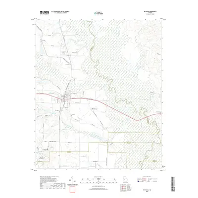
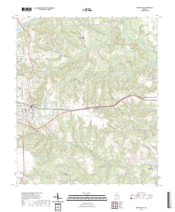 2024 Butler East2024 Print · USGSTaylor County, Georgia, is shown here in its modern configuration, centered on the activity of Butler and surrounding rural settlements. Researchers can trace family history through sites like Bethel Cem or explore local landmarks like Minors Millpond and the Butler Municipal Airport.
 - 2024 Map of Reynolds, 2024 Print
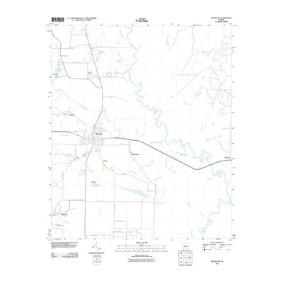
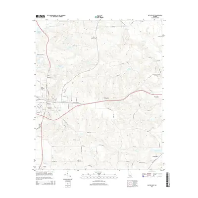
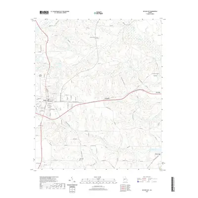
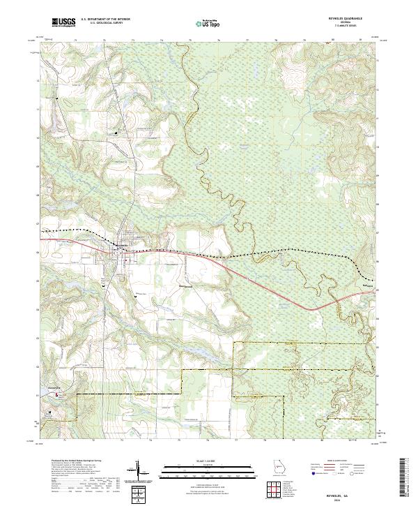 2024 Reynolds2024 Print · USGSTaylor County and its neighboring borders are documented here in the early twenty-first century, showcasing the region's river-driven geography. Genealogists can trace family roots through numerous local landmarks like Taylor Mill Baptist Church Cem, Potterville, and the White Hill Cem.
End of results
Showing maps 1-16 of 16
Top cities near Reynolds
- Macon historical maps
- Fort Valley historical maps
- Butler historical maps
- Marshallville historical maps
- Roberta historical maps
- Ideal historical maps
See more
Frequently asked questions
- What are the different types of historical maps available for Reynolds?
- What is the oldest map of Reynolds?
- Where can I purchase historical maps of Reynolds for my home or office?
- Where can I download high-res historical maps of Reynolds?
- Are there historical topographic maps available for Reynolds?
- Is there historical aerial imagery available for Reynolds?
- Where are historical maps of Reynolds sourced from?