Old Maps of Long Cane, Georgia for Genealogy
Trace your family roots with 12 historic maps of Long Cane. These high-res maps reveal old neighborhoods, homesites, landmarks, and streets — helping you uncover where your ancestors lived and how the area evolved over time.
- Explore historic neighborhoods: Identify where your relatives may have lived in the 1800s or 1900s.
- Compare maps over time: Trace the changes in streets, buildings, and landmarks for multi-generational research.
- Perfect for genealogy & ancestry research: Used by family historians and researchers to map out lineage and migration.
These maps are an incredible resource for exploring your personal connection to Long Cane's past.
Long Cane, GA maps
(12)- 1907 Map of Opelika, 1963 Print
 1907 Opelika1963 Print · USGSEastern Alabama and western Georgia come alive in this early 1900s survey of the rail-and-river economy. Genealogists can trace family names at Mitchell Crossroads, find rural landmarks like the Poor Farm, and locate historic river crossings like Dixon Ferry.
 - 1909 Map of Opelika
 1909 Opelika1909 Print · USGSEastern Alabama and western Georgia are seen here in the first decade of the twentieth century as the river-and-rail economy reached its peak. Genealogists and historians can trace old river crossings like Blanton Ferry, rural post offices such as Antioch Church Huckabee P O, and the path of the Chattahoochee Valley railroad.4 unique versions available
 - 1955 Map of Phenix City, 1964 Print
 1955 Phenix City1964 Print · USGSPost-war Alabama and Georgia meet along the Chattahoochee River as industry and military installations expand. Trace the rail lines of the Central of Georgia through towns like Opelika, Tuskegee, and Alexander City.3 unique versions available
 - 1957 Map of Phenix City
 1957 Phenix City1957 Print · USGSThe Alabama-Georgia borderlands are captured here in the mid-fifties, centered on the bustling river crossing at Phenix City and Columbus. Researchers can trace the mid-century footprint of the Fort Benning Military Reservation or locate smaller textile and railroad towns like Langdale and Camp Hill.
 - 1958 Map of Phenix City
 1958 Phenix City1958 Print · USGSThe Alabama-Georgia borderlands thrive during the late fifties, anchored by the river-driven industry of Columbus and Phenix City. Researchers can trace the mid-century footprints of Fort Benning, Auburn, and the textile towns of Fairfax and Lanett.
 - 1964 Map of Lanett North, 1965 Print
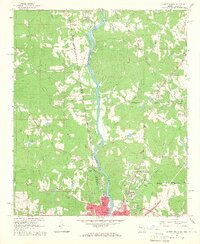 1964 Lanett North1965 Print · USGSThe industrial and civic heart of the Alabama-Georgia border comes into focus in this mid-sixties survey. Local historians can trace the development of Lanett and West Point through sites like Fort Tyler Cem, Harrison High Sch, and the Atlanta and West Point Railroad.4 unique versions available
 - 1981 Map of Opelika, 1982 Print
 1981 Opelika1982 Print · USGSEast Alabama and West Georgia appear in the early 1980s as a region defined by massive river reservoirs and the storied textile corridor. Genealogists can trace family roots through the valley towns of Lanett and Fairfax or locate sites near Horseshoe Bend National Military Park.
 - 2011 Map of Lanett North, 2011 Print
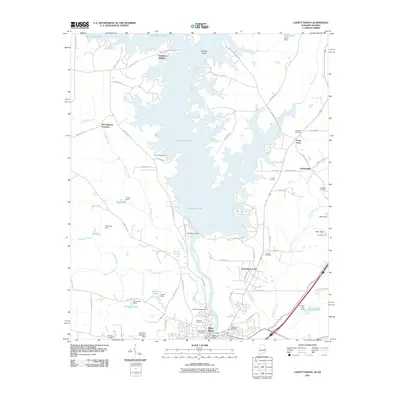 2011 Lanett North2011 Print · USGSThe Alabama-Georgia borderlands are defined by the expansive West Point Lake in the early twenty-first century. Researchers can trace family history through local landmarks like Long Cane Cemetery, Gabbettville, and the West Point Dam.2 unique versions available
 - 2014 Map of Lanett North, 2014 Print
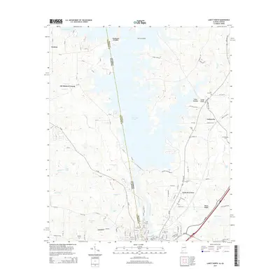 2014 Lanett North2014 Print · USGSThe Alabama-Georgia state line runs right through the center of this recent survey, where the waters of the Chattahoochee River meet the flooded valleys of West Point Lake. Historians can trace established communities like Fredonia and Gabbettville or locate family sites at Lovelace Cem and Pinewood Cem.
 - 2018 Map of Lanett North, 2018 Print
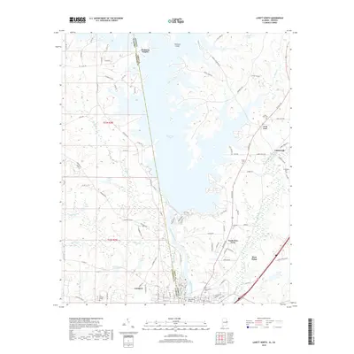 2018 Lanett North2018 Print · USGSThe Alabama-Georgia state line runs through this 2018 survey of the Chattahoochee River valley as it appeared in the late twenty-first century. Researchers can trace the sprawling reaches of West Point Lake and locate several regional burial sites like Forty Tyler Cem and Lovelace Cem.
 - 2020 Map of Lanett North, 2020 Print
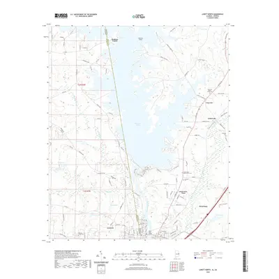 2020 Lanett North2020 Print · USGSThe Alabama-Georgia borderlands near Lanett and West Point are shown here in the 2020s, dominated by the massive reach of West Point Lake. Genealogists and local historians can locate many family landmarks and burial sites, including Lovelace Cem, Pinewood Cem, and the church at Long Cane.
 - 2024 Map of Lanett North, 2024 Print
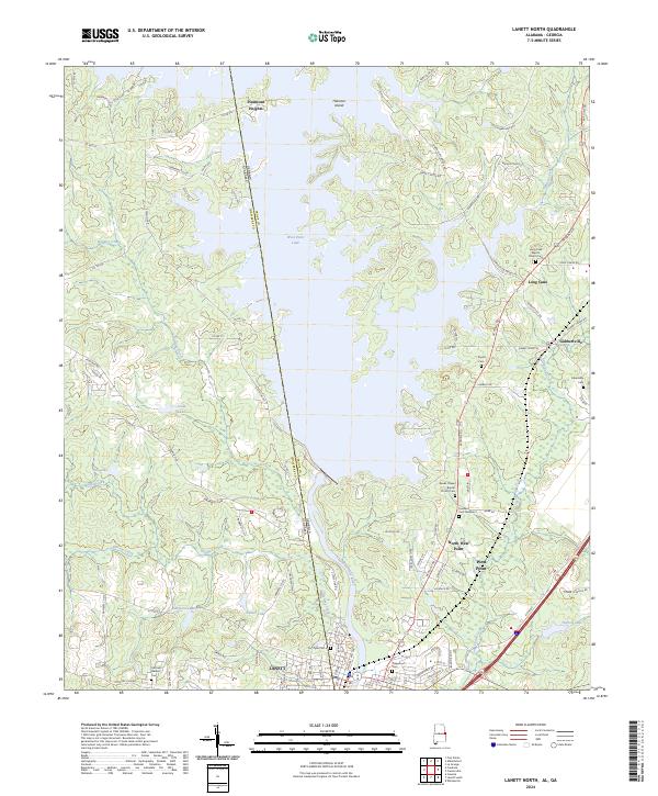 2024 Lanett North2024 Print · USGSSettlements along the Alabama and Georgia border are mapped here in the modern era, centered on the river and its reservoirs. Genealogists can locate Fort Tyler Cem, Traylor Cem, and churches like Long Cane Baptist Church Cem.
End of results
Showing maps 1-12 of 12
Top cities near Long Cane
- Opelika historical maps
- LaGrange historical maps
- Valley historical maps
- Lanett historical maps
- Roanoke historical maps
- West Point historical maps
See more
Frequently asked questions
- What are the different types of historical maps available for Long Cane?
- What is the oldest map of Long Cane?
- Where can I purchase historical maps of Long Cane for my home or office?
- Where can I download high-res historical maps of Long Cane?
- Are there historical topographic maps available for Long Cane?
- Is there historical aerial imagery available for Long Cane?
- Where are historical maps of Long Cane sourced from?