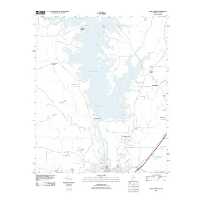
2011 Map of Lanett North
USGS Topo · Published 2011About this map
West Point Lake dominates this borderland landscape, where the waters of the Chattahoochee River are held by the West Point Dam. This reservoir has reshaped the geography of both Alabama and Georgia, creating a complex shoreline that surrounds Hairston Island and supports local recreation at Burnt Village Marina. To the south, the industrial and civic core of West Point and North West Point sit just below the dam, marking a significant transition from the expansive lake to the traditional river channel.
Find a feature on this map
80 named features on this map. Tap any name to fly to it.
Don’t see what you’re looking for? This feature index may not catch every label — zoom into the map to look around manually.
Map Details
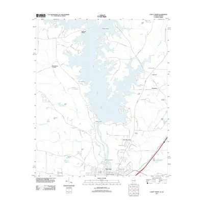
Editions of this 2011 Lanett North Map
2 editions found
Other maps of this area

1899 · Wedowee
USGS Topo · 1:125,000

1902 · Wedowee
USGS Topo · 1:125,000

1907 · Opelika
USGS Topo · 1:125,000

1909 · Opelika
USGS Topo · 1:125,000

1953 · Atlanta
USGS Topo · 1:250,000

1955 · Phenix City
USGS Topo · 1:250,000

1957 · Phenix City
USGS Topo · 1:250,000

1957 · Atlanta
USGS Topo · 1:250,000

1958 · Phenix City
USGS Topo · 1:250,000

1958 · Atlanta
USGS Topo · 1:250,000