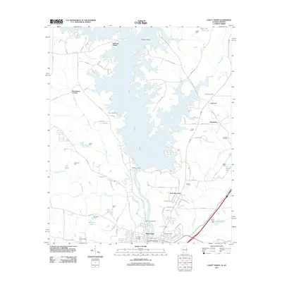
2011 Map of Lanett North
USGS Topo · Published 2011About this map
West Point Lake dominates this landscape along the border of Alabama and Georgia, its winding shoreline creating numerous inlets and islands like Hairston Island. The city of West Point sits at the southern edge of the reservoir, where the Chattahoochee River flows beneath the West Point Bridge. The map captures a mix of established residential areas and rural outskirts, including Piedmont Heights and North West Point, while the northern reaches transition into less densely populated land near Old Atkinson Crossing.
Find a feature on this map
97 named features on this map. Tap any name to fly to it.
Don’t see what you’re looking for? This feature index may not catch every label — zoom into the map to look around manually.
Map Details
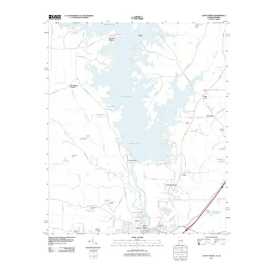
Editions of this 2011 Lanett North Map
2 editions found
Other maps of this area

1899 · Wedowee
USGS Topo · 1:125,000

1902 · Wedowee
USGS Topo · 1:125,000

1907 · Opelika
USGS Topo · 1:125,000

1909 · Opelika
USGS Topo · 1:125,000

1953 · Atlanta
USGS Topo · 1:250,000

1955 · Phenix City
USGS Topo · 1:250,000

1957 · Phenix City
USGS Topo · 1:250,000

1957 · Atlanta
USGS Topo · 1:250,000

1958 · Phenix City
USGS Topo · 1:250,000

1958 · Atlanta
USGS Topo · 1:250,000