2000s (21st Century) Maps of Hilo, Hawaii
Explore 12 historic maps of Hilo from the 2000s (21st Century). These maps offer a rare glimpse into what life looked like during the 2000s — showing old roads, neighborhoods, homes, and landmarks that have changed or disappeared over time.
Whether you're researching your family's past, planning a metal detecting trip, or studying how Hilo's landscape evolved across the 2000s, these high-resolution maps are a powerful tool for exploring the history of this region.
- Focus on a specific era: All maps on this page are from the 2000s, giving you a focused view of this time period.
- See what’s changed: Compare century-old streets, trails, and buildings to today's modern landscape using overlays and satellite layers.
- Research with precision: Use these maps for genealogy, historical research, land use analysis, or educational projects.
- View, download, or print: Maps are fully viewable online in high resolution, and can be downloaded or printed for your own records.
Start exploring Hilo's history through authentic maps from the 2000s. This is your window into the past.
Hilo, HI maps
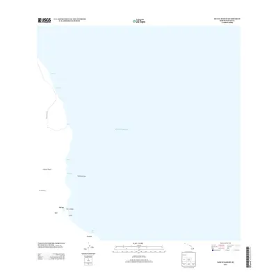
(12)- 2013 Map of Puumakaala, 2013 Print
 2013 Puumakaala2013 Print · USGSCovers Hilo, including Fern Forest, Mountain View, and other nearby areas
 - 2013 Map of Hilo, 2013 Print
 2013 Hilo2013 Print · USGSCovers Hilo, including Keaau, Wainaku, and other nearby areas
 - 2013 Map of Piihonua, 2013 Print
 2013 Piihonua2013 Print · USGSCovers Hilo, including Hawaiʻi County, United States, and other nearby areas
 - 2013 Map of Keaau Ranch, 2013 Print
 2013 Keaau Ranch2013 Print · USGSCovers Hilo, including Hā‘ena, Hawaiʻi County, and other nearby areas
 - 2017 Map of Puumakaala, 2017 Print
 2017 Puumakaala2017 Print · USGSCovers Hilo, including Fern Forest, Mountain View, and other nearby areas
 - 2017 Map of Piihonua, 2017 Print
 2017 Piihonua2017 Print · USGSCovers Hilo, including Hawaiʻi County, United States, and other nearby areas
 - 2017 Map of Keaau Ranch, 2017 Print
 2017 Keaau Ranch2017 Print · USGSCovers Hilo, including Hā‘ena, Hawaiʻi County, and other nearby areas
 - 2017 Map of Hilo, 2017 Print
 2017 Hilo2017 Print · USGSCovers Hilo, including Keaau, Wainaku, and other nearby areas
 - 2024 Map of Hilo, 2024 Print
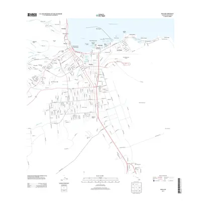
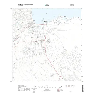
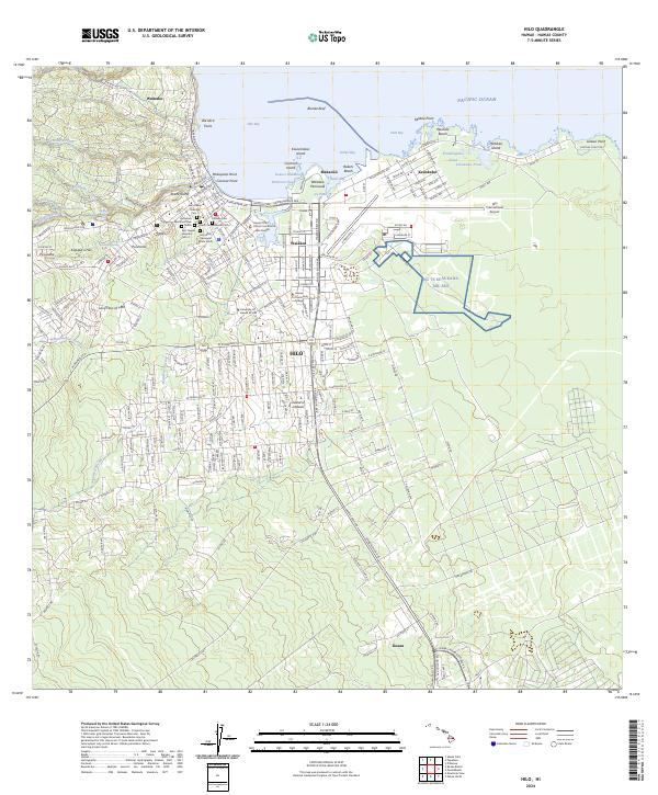 2024 Hilo2024 Print · USGSHilo's coastal landscape and urban growth are documented here in the early twenty-first century. Genealogists and historians can locate specific sites like Homelani Memorial Park, the Lava Flow of 1881, and the NG TS Keaukaha Mil Res.
 - 2024 Map of Keaau Ranch, 2024 Print
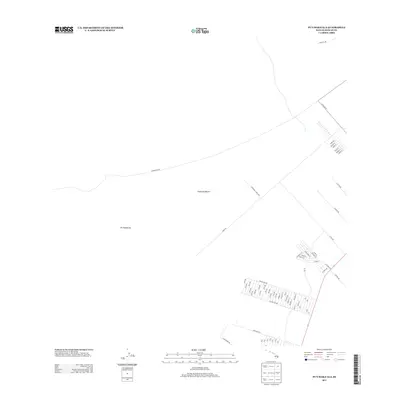
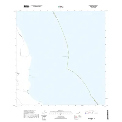
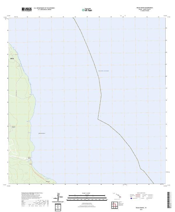 2024 Keaau Ranch2024 Print · USGSThe shoreline of the Island of Hawai‘i near Hilo appears in modern detail, emphasizing the intersection of the coastal environment and local transit. Researchers can trace the Puna Trail past Kea‘au Beach and the inlets at Paki Bay.
 - 2024 Map of Piihonua, 2024 Print
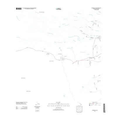
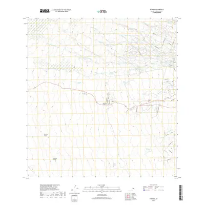
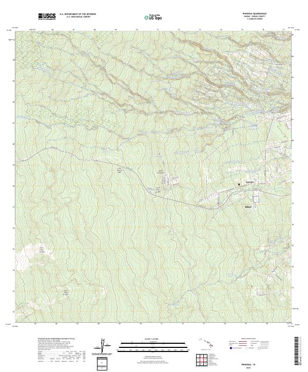 2024 Piihonua2024 Print · USGSThe volcanic slopes above Hilo are defined here by a series of massive historic eruptions and river-cut canyons. You can trace the path of the Lava Flow of 1881 near Kaūmana and locate landmarks like Boiling Pots on the Wailuku River.
 - 2024 Map of Puumakaala, 2024 Print
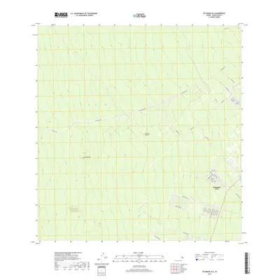
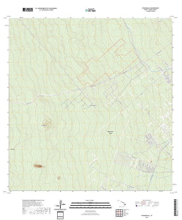 2024 Puumakaala2024 Print · USGSThe eastern slopes of the Island of Hawai'i are captured in detail in this modern survey, showing the residential growth of the windward side. Researchers can trace the street grids of Mountain View and the boundaries of the Hawai'i Volcanoes Wilderness near the community of Volcano.
End of results
Showing maps 1-12 of 12
Top cities near Hilo
Top neighborhoods of Hilo
- Kaumana historical maps
- Keaukaha historical maps
- Mokaoku historical maps
- Waiākea historical maps
- Piʻihonua historical maps
- Waiakea Hawaiian Home Land historical maps
See more
Frequently asked questions
- What are the different types of historical maps available for Hilo?
- What is the oldest map of Hilo?
- Where can I purchase historical maps of Hilo for my home or office?
- Where can I download high-res historical maps of Hilo?
- Are there historical topographic maps available for Hilo?
- Is there historical aerial imagery available for Hilo?
- Where are historical maps of Hilo sourced from?