Old Maps of Plummer, Idaho for Genealogy
Trace your family roots with 17 historic maps of Plummer. These high-res maps reveal old neighborhoods, homesites, landmarks, and streets — helping you uncover where your ancestors lived and how the area evolved over time.
- Explore historic neighborhoods: Identify where your relatives may have lived in the 1800s or 1900s.
- Compare maps over time: Trace the changes in streets, buildings, and landmarks for multi-generational research.
- Perfect for genealogy & ancestry research: Used by family historians and researchers to map out lineage and migration.
These maps are an incredible resource for exploring your personal connection to Plummer's past.
Plummer, ID maps
(17)- 1955 Map of Spokane, 1965 Print
 1955 Spokane1965 Print · USGSInland Empire life in the fifties and sixties centers on the growth of Spokane and the heavy mining industry of northern Idaho. Trace mid-century landmarks like Fairchild Air Force Base, the Bunker Hill Mine, and early campuses such as Gonzaga University.2 unique versions available
 - 1957 Map of Plummer, 1959 Print
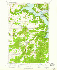 1957 Plummer1959 Print · USGSSouthern Coeur d'Alene Lake and the surrounding timberlands are captured here in the mid-fifties, showing the intersection of lake life and rail industry. Researchers can trace the Milwaukee Road through the Sorrento Tunnel or locate historic sites in Heyburn State Park and Harrison.2 unique versions available
 - 1958 Map of Spokane
 1958 Spokane1958 Print · USGSThe Inland Empire is shown at a mid-century peak of industrial and military activity, from the rail hubs of Spokane to the deep silver mines of northern Idaho. Researchers can trace the sprawling rail lines of the Union Pacific RR or locate landmarks like Fairchild Air Force Base and the Bunker Hill Smelter & Mine.
 - 1975 Map of Plummer SE, 1977 Print
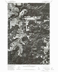 1975 Plummer SE1977 Print · USGSBenewah County lands are captured in this mid-seventies aerial perspective, showing the intersection of reservation timberlands and local waterways. Researchers can trace the drainage of Benewah Creek or locate landmarks like Plummer Butte.
 - 1981 Map of St Maries
 1981 St Maries1981 Print · USGSThe timber and rail hub of St. Maries is captured here in the early 1980s as the river-and-rail economy defined the Panhandle. Researchers can trace historic transport corridors including the Union Pacific tracks and remote landings along the St Joe River and Chatcolet Lake.2 unique versions available
 - 1981 Map of Plummer, 1982 Print
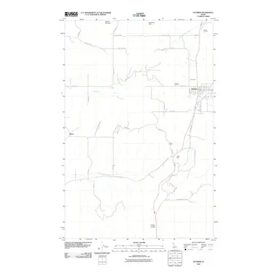
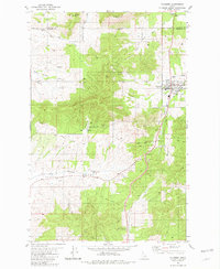 1981 Plummer1982 Print · USGSPlummer and the surrounding reservation lands are captured in the early eighties as the rail era transitioned to local roads. Researchers can trace the Old Railroad Grade through the Sorrento Tunnel or locate landmarks like the Drive-in Theater.
 - 1981 Map of Chatcolet, 1982 Print
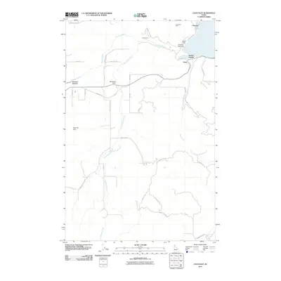
 1981 Chatcolet1982 Print · USGSBenewah County’s lakeside and timberlands are captured here in the early 1980s, centered on the historic rail-and-water corridor of Chatcolet Lake. Researchers can trace the routes of the Union Pacific railroad and locate local landmarks like Hawleys Landing and Plummer Junction.
 - 2010 Map of Chatcolet, 2010 Print
 2010 Chatcolet2010 Print · USGSCovers Plummer, including Hawleys Landing, Plummer Junction, and other nearby areas
 - 2010 Map of Plummer, 2010 Print
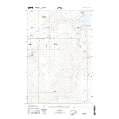
 2010 Plummer2010 Print · USGSCovers Plummer, including Mowry, Kootenai County, and other nearby areas
 - 2013 Map of Plummer, 2013 Print
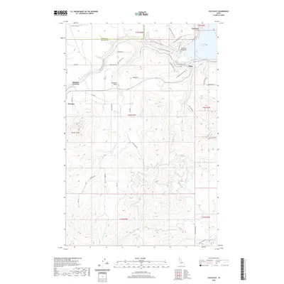
 2013 Plummer2013 Print · USGSCovers Plummer, including Mowry, Kootenai County, and other nearby areas
 - 2013 Map of Chatcolet, 2013 Print
 2013 Chatcolet2013 Print · USGSCovers Plummer, including Hawleys Landing, Plummer Junction, and other nearby areas
 - 2017 Map of Plummer, 2017 Print
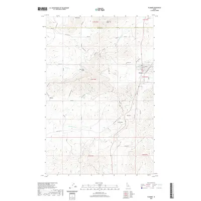
 2017 Plummer2017 Print · USGSCovers Plummer, including Mowry, Kootenai County, and other nearby areas
 - 2017 Map of Chatcolet, 2017 Print
 2017 Chatcolet2017 Print · USGSCovers Plummer, including Hawleys Landing, Plummer Junction, and other nearby areas
 - 2020 Map of Chatcolet, 2020 Print
 2020 Chatcolet2020 Print · USGSCovers Plummer, including Hawleys Landing, Plummer Junction, and other nearby areas
 - 2020 Map of Plummer, 2020 Print
 2020 Plummer2020 Print · USGSCovers Plummer, including Mowry, Kootenai County, and other nearby areas
 - 2024 Map of Plummer, 2024 Print
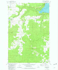
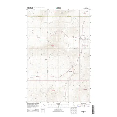
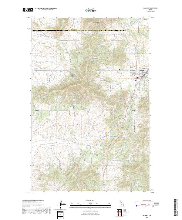 2024 Plummer2024 Print · USGSBenewah County’s upland landscape is captured here in the contemporary era, centered on the established street grid of Plummer. Genealogists and local historians can trace family roots at Evergreen Cem or locate the rural settlement of Mowry near Rock Creek Valley.
 - 2024 Map of Chatcolet, 2024 Print
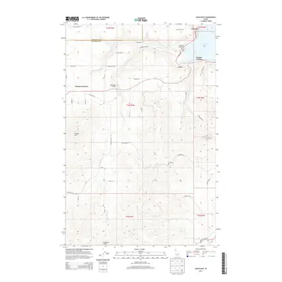
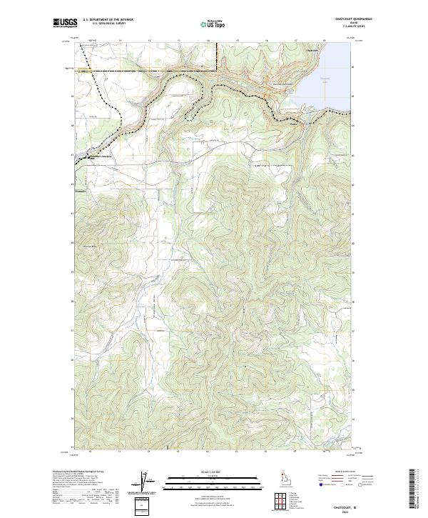 2024 Chatcolet2024 Print · USGSBenewah County’s lakefront and timbered ridges are captured in detail in this modern survey of the panhandle. Researchers can trace the legacy of local settlements from Plummer and Pedee to the waterfront at Chatcolet Lake.
End of results
Showing maps 1-17 of 17
Top cities near Plummer
- Tekoa historical maps
- Harrison historical maps
- Worley historical maps
- De Smet historical maps
- Tensed historical maps
Frequently asked questions
- What are the different types of historical maps available for Plummer?
- What is the oldest map of Plummer?
- Where can I purchase historical maps of Plummer for my home or office?
- Where can I download high-res historical maps of Plummer?
- Are there historical topographic maps available for Plummer?
- Is there historical aerial imagery available for Plummer?
- Where are historical maps of Plummer sourced from?