Old Maps of Ketchum, Idaho for Academic Research
Study the evolution of Ketchum with 18 high-resolution historic maps. Whether you're teaching, researching, or modeling changes in land use, these maps provide essential visual documentation of urban, environmental, and geographic change.
- Analyze long-term change: Track patterns in development, transportation, and natural features.
- Ideal for environmental or urban studies: Support academic projects with primary historical map data.
- Use in the classroom or lab: Educators and researchers rely on these maps to bring historical context to life.
These maps are a powerful tool for teaching, research, and visualizing how Ketchum has changed over the decades.
Ketchum, ID maps
(18)- 1895 Map of Hailey, 1954 Print
 1895 Hailey1954 Print · USGSThe Wood River Valley was coming into its own in the 1890s as a hub for rail transport and early tourism. Researchers can trace the early path of the Union Pacific R R as it connected Hailey to Ketchum, passing through Gimlet and several remote hot springs like Guyer.2 unique versions available
 - 1897 Map of Hailey
 1897 Hailey1897 Print · USGSCentral Idaho in the late nineteenth century was a land of high peaks and river-valley railroads. Trace the early layout of Hailey and Ketchum, the path of the Union Pacific, and landmarks like Guyer Hot Springs.3 unique versions available
 - 1955 Map of Hailey, 1968 Print
 1955 Hailey1968 Print · USGSCentral Idaho in the mid-fifties reveals a landscape transitioning from deep-rooted silver mining to a burgeoning outdoor economy. Researchers can trace the legacy of the Union Pacific line, the remote Triumph Mine, and original airfield layouts at Mountain Home Air Force Base.4 unique versions available
 - 1959 Map of Hailey
 1959 Hailey1959 Print · USGSThe Sawtooth range and high desert plains of Southern Idaho are captured here during a period of mining and military growth. Genealogists and historians can locate mining sites like Triumph Mine, early settlements such as Idaho City, and the Mountain Home Air Force Base.2 unique versions available
 - 1962 Map of Hailey
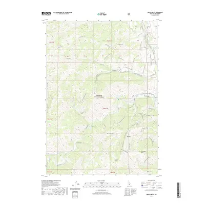
 1962 Hailey1962 Print · USGSCentral Idaho in the early sixties showcases a landscape of high-altitude ranching and mining at the foot of the Sawtooth Mountains. Genealogists and historians can trace the rail-and-river economy through the Union Pacific Railroad corridor and explore old mining sites like the Triumph Mine or Silver Star Queens Mine.
 - 1967 Map of Sun Valley, 1971 Print
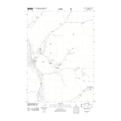
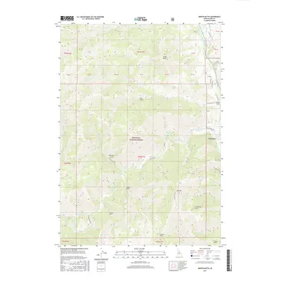
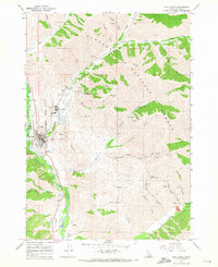 1967 Sun Valley1971 Print · USGSMid-century development and mountain mining collide near Sun Valley and Ketchum during the late sixties. Trace the Union Pacific line and resort growth alongside long-standing mineral operations like the Triumph Mine and North Star Mine.3 unique versions available
 - 1967 Map of Griffin Butte, 1971 Print
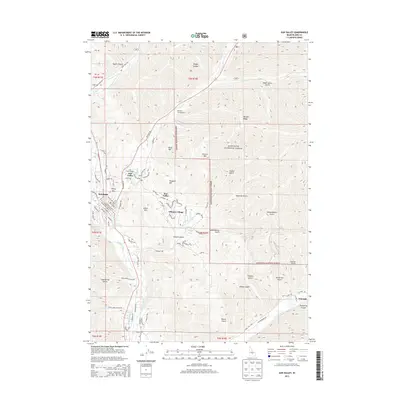
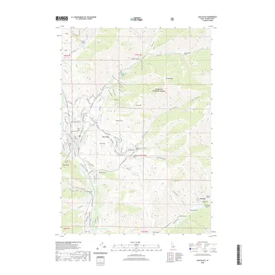
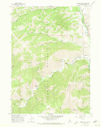 1967 Griffin Butte1971 Print · USGSKetchum and the surrounding Sawtooth National Forest are captured here in the late sixties as the region transitioned toward a recreation-based economy. Researchers can locate thermal sites like Guyer Hot Springs, early ski infrastructure on Bald Mountain, and mining remnants at the Tailings Pond.2 unique versions available
 - 1992 Map of Sun Valley, 1993 Print
 1992 Sun Valley1993 Print · USGSThe Wood River Valley and surrounding high peaks are documented here in the early nineties, showing the region's shift toward a recreation economy. Researchers can trace the legacy of mining and mountain development at the Triumph Mine, Sun Valley, and Alturas Lake.2 unique versions available
 - 2011 Map of Griffin Butte, 2011 Print
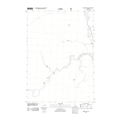 2011 Griffin Butte2011 Print · USGSCovers Ketchum, including Blaine County, United States, and other nearby areas
 - 2011 Map of Sun Valley, 2011 Print
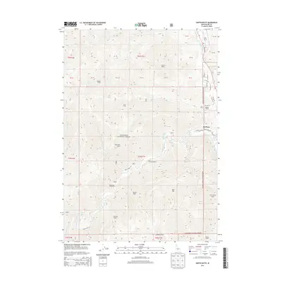
 2011 Sun Valley2011 Print · USGSCovers Ketchum, including Sun Valley, Blaine County, and other nearby areas
 - 2013 Map of Sun Valley, 2013 Print
 2013 Sun Valley2013 Print · USGSCovers Ketchum, including Sun Valley, Blaine County, and other nearby areas
 - 2013 Map of Griffin Butte, 2013 Print
 2013 Griffin Butte2013 Print · USGSCovers Ketchum, including Blaine County, United States, and other nearby areas
 - 2017 Map of Sun Valley, 2017 Print
 2017 Sun Valley2017 Print · USGSCovers Ketchum, including Sun Valley, Blaine County, and other nearby areas
 - 2017 Map of Griffin Butte, 2017 Print
 2017 Griffin Butte2017 Print · USGSCovers Ketchum, including Blaine County, United States, and other nearby areas
 - 2020 Map of Sun Valley, 2020 Print
 2020 Sun Valley2020 Print · USGSCovers Ketchum, including Sun Valley, Blaine County, and other nearby areas
 - 2020 Map of Griffin Butte, 2020 Print
 2020 Griffin Butte2020 Print · USGSCovers Ketchum, including Blaine County, United States, and other nearby areas
 - 2024 Map of Griffin Butte, 2024 Print
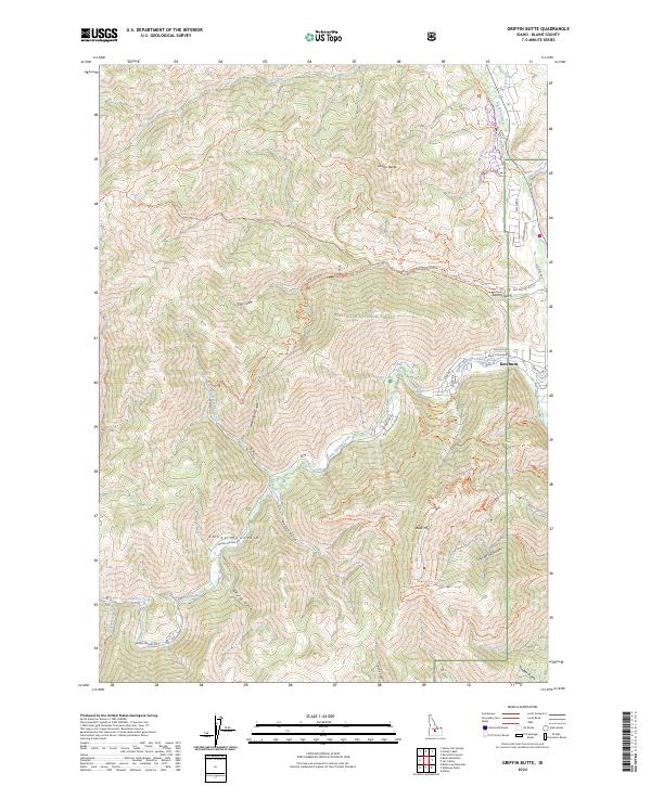 2024 Griffin Butte2024 Print · USGSKetchum and the surrounding peaks of the Sawtooth National Forest are shown in detail during this era of mountain recreation. Researchers can trace the complex network of trails and water sources, from the thermal Warfield Hot Spring to the summit of Bald Mtn.
 - 2024 Map of Sun Valley, 2024 Print
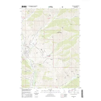
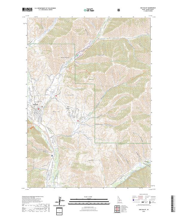 2024 Sun Valley2024 Print · USGSThe central Idaho highlands around Ketchum are documented here in 2024, showing the intersection of three mountain ranges and the Sun Valley resort area. Trace the winding paths of the Boundary Loop Ski Trail and the settlement at Triumph.
End of results
Showing maps 1-18 of 18
Top cities near Ketchum
Frequently asked questions
- What are the different types of historical maps available for Ketchum?
- What is the oldest map of Ketchum?
- Where can I purchase historical maps of Ketchum for my home or office?
- Where can I download high-res historical maps of Ketchum?
- Are there historical topographic maps available for Ketchum?
- Is there historical aerial imagery available for Ketchum?
- Where are historical maps of Ketchum sourced from?