2020s Maps of Nampa, Idaho
Explore 10 historic maps of Nampa from the 2020s. These maps offer a rare glimpse into what life looked like during the 2020s — showing old roads, neighborhoods, homes, and landmarks that have changed or disappeared over time.
Whether you're researching your family's past, planning a metal detecting trip, or studying how Nampa's landscape evolved across the 2020s, these high-resolution maps are a powerful tool for exploring the history of this region.
- Focus on a specific era: All maps on this page are from the 2020s, giving you a focused view of this time period.
- See what’s changed: Compare century-old streets, trails, and buildings to today's modern landscape using overlays and satellite layers.
- Research with precision: Use these maps for genealogy, historical research, land use analysis, or educational projects.
- View, download, or print: Maps are fully viewable online in high resolution, and can be downloaded or printed for your own records.
Start exploring Nampa's history through authentic maps from the 2020s. This is your window into the past.
Nampa, ID maps
(10)- 2020 Map of Lake Lowell, 2020 Print
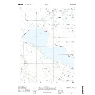 2020 Lake Lowell2020 Print · USGSCovers Nampa, including Caldwell, Canyon County, and other nearby areas
 - 2020 Map of Meridian, 2020 Print
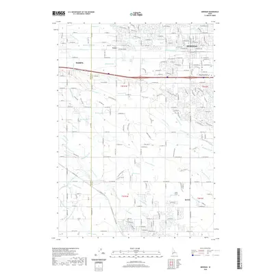 2020 Meridian2020 Print · USGSCovers Nampa, including Meridian, Kuna, and other nearby areas
 - 2020 Map of Nampa, 2020 Print
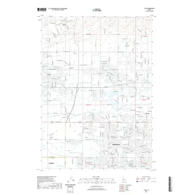
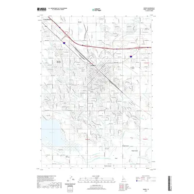 2020 Nampa2020 Print · USGSCovers Nampa, including Caldwell, Canyon County, and other nearby areas
 - 2020 Map of Middleton, 2020 Print
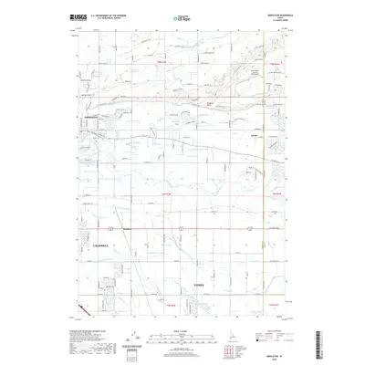 2020 Middleton2020 Print · USGSCovers Nampa, including Caldwell, Star, and other nearby areas
 - 2020 Map of Star, 2020 Print
 2020 Star2020 Print · USGSCovers Nampa, including Meridian, Eagle, and other nearby areas
 - 2023 Map of Lake Lowell, 2023 Print
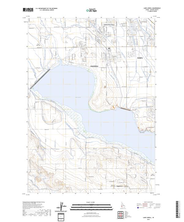 2023 Lake Lowell2023 Print · USGSCanyon County's irrigation and aviation history come alive in this survey of the Boise Valley during its modern era of growth. Local researchers can trace the expansive Deer Flat National Wildlife Refuge or locate the Sky Ranch South Airport and Underkoflers Corner.
 - 2024 Map of Middleton, 2024 Print
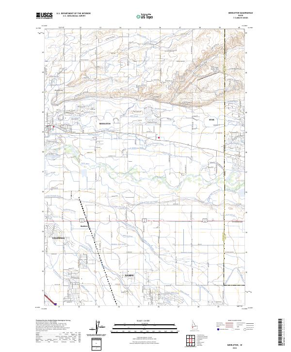 2024 Middleton2024 Print · USGSThe Boise River valley comes into focus during this period of suburban growth and agricultural continuity. Researchers can trace the sprawling irrigation networks of the Caldwell High Line Canal and the Farmers Union Canal near Middleton.
 - 2024 Map of Star, 2024 Print
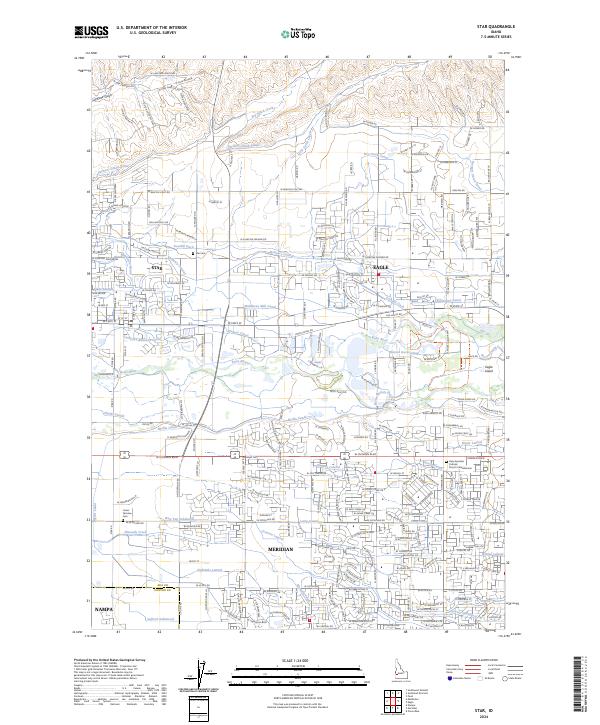 2024 Star2024 Print · USGSThe growing corridor between Star and Eagle is documented here during a period of significant suburban expansion and land-use change. Researchers can trace the historic irrigation network from the Boise River via the Middleton Canal and Phyllis Slough while locating local landmarks like Star Cem.
 - 2024 Map of Nampa, 2024 Print
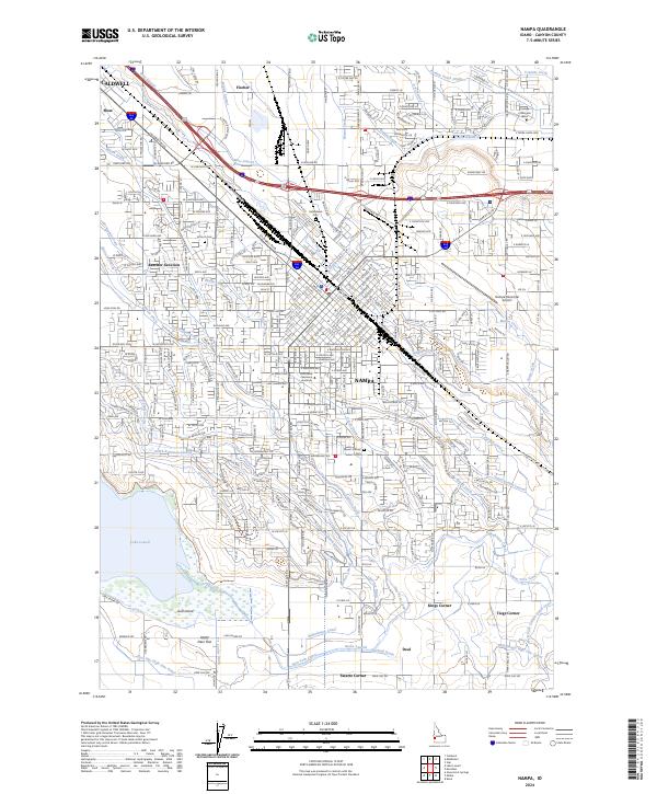 2024 Nampa2024 Print · USGSCanyon County's urban and agricultural heart is captured here during its modern expansion phase. Genealogists and local historians can trace the development of Nampa alongside legacy sites like Kohlerlawn Cem and the vast Lake Lowell.
 - 2024 Map of Meridian, 2024 Print
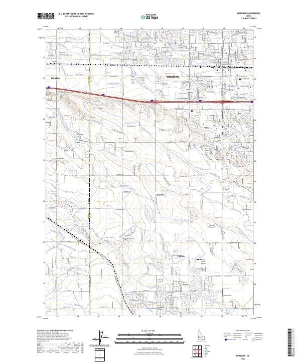 2024 Meridian2024 Print · USGSThe Treasure Valley's irrigation legacy and rapid expansion are visible in this recent look at the Meridian and Kuna area. Genealogists and researchers can trace local landmarks like Meridian Cem or the sprawling Ridenbaugh Canal system.
End of results
Showing maps 1-10 of 10
Top cities near Nampa
- Boise historical maps
- Meridian historical maps
- Caldwell historical maps
- Eagle historical maps
- Kuna historical maps
- Star historical maps
See more
Frequently asked questions
- What are the different types of historical maps available for Nampa?
- What is the oldest map of Nampa?
- Where can I purchase historical maps of Nampa for my home or office?
- Where can I download high-res historical maps of Nampa?
- Are there historical topographic maps available for Nampa?
- Is there historical aerial imagery available for Nampa?
- Where are historical maps of Nampa sourced from?