Old Maps of Clark County, Idaho
Explore 72 old maps of Clark County, spanning from 1950 to today. These high-resolution historic maps reveal how streets, neighborhoods, landmarks, and natural features evolved over time — perfect for genealogy, metal detecting, research, and local history exploration.
What you can do with these maps:
- See how Clark County changed over time: Compare historical maps to modern-day views to trace roads, homesites, rail lines & more.
- View detailed metadata: Each map includes creators, publishers, year, scale, and archive source.
- Overlay maps with satellite & LiDAR: Visualize the past alongside modern tools to explore terrain & human change.
- Trusted historical sources: Maps sourced from the USGS, Library of Congress, and other archives.
- Access maps your way: View online, download high-res files, or order prints for personal or research use.
Start exploring old maps of Clark County to uncover forgotten places, hidden landmarks, and the deep history beneath your feet.
Clark County, ID maps
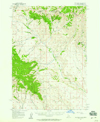
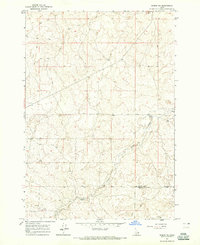
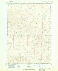
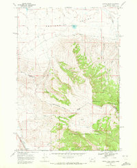
(72)- 1950 Map of Lower Red Rock Lake, 1954 Print
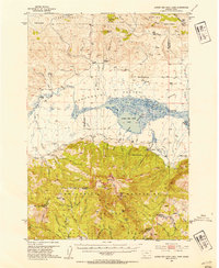 1950 Lower Red Rock Lake1954 Print · USGSCovers Clark County, including Lakeview, Beaverhead County, and other nearby areas5 unique versions available
 - 1950 Map of Upper Red Rock Lake, 1954 Print
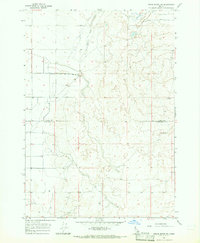
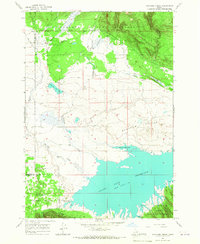
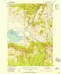 1950 Upper Red Rock Lake1954 Print · USGSCovers Clark County, including Beaverhead County, Madison County, and other nearby areas3 unique versions available
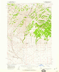
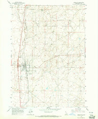
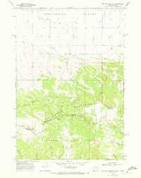
 - 1955 Map of Dubois
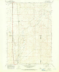
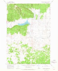
 1955 Dubois1955 Print · USGSCovers Clark County, including Dubois, Lima, and other nearby areas4 unique versions available
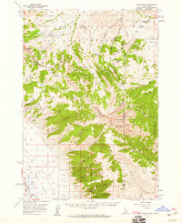
 - 1955 Map of Idaho Falls, 1963 Print
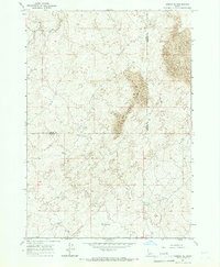
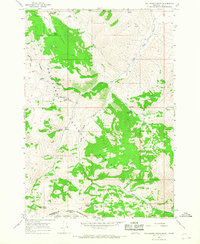
 1955 Idaho Falls1963 Print · USGSCovers Clark County, including Idaho Falls, Blackfoot, and other nearby areas5 unique versions available
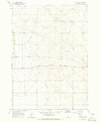
 - 1955 Map of Ashton, 1967 Print
 1955 Ashton1967 Print · USGSCovers Clark County, including West Yellowstone, Ashton, and other nearby areas4 unique versions available
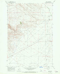
 - 1957 Map of Paul Reservoir, 1959 Print
 1957 Paul Reservoir1959 Print · USGSCovers Clark County, including Beaverhead County, United States, and other nearby areas2 unique versions available
 - 1957 Map of Scott Peak, 1959 Print
 1957 Scott Peak1959 Print · USGSCovers Clark County, including Beaverhead County, Lemhi County, and other nearby areas3 unique versions available
 - 1957 Map of Edie Ranch, 1959 Print
 1957 Edie Ranch1959 Print · USGSCovers Clark County, including Beaverhead County, United States, and other nearby areas4 unique versions available
 - 1958 Map of Dubois
 1958 Dubois1958 Print · USGSCovers Clark County, including Dubois, Lima, and other nearby areas2 unique versions available
 - 1958 Map of Idaho Falls
 1958 Idaho Falls1958 Print · USGSCovers Clark County, including Idaho Falls, Blackfoot, and other nearby areas2 unique versions available
 - 1958 Map of Ashton
 1958 Ashton1958 Print · USGSCovers Clark County, including West Yellowstone, Ashton, and other nearby areas
 - 1960 Map of Ashton
 1960 Ashton1960 Print · USGSCovers Clark County, including West Yellowstone, Ashton, and other nearby areas
 - 1964 Map of Dubois NW, 1965 Print
 1964 Dubois NW1965 Print · USGSCovers Clark County, including Dubois, United States, and other nearby areas
 - 1964 Map of Lone Butte, 1965 Print
 1964 Lone Butte1965 Print · USGSCovers Clark County, including United States, Idaho, and other nearby areas2 unique versions available
 - 1964 Map of Small, 1965 Print
 1964 Small1965 Print · USGSCovers Clark County, including United States, Idaho, and other nearby areas2 unique versions available
 - 1964 Map of Dubois NE, 1965 Print
 1964 Dubois NE1965 Print · USGSCovers Clark County, including Fremont County, United States, and other nearby areas
 - 1964 Map of Cedar Butte SW, 1965 Print
 1964 Cedar Butte SW1965 Print · USGSCovers Clark County, including Jefferson County, United States, and other nearby areas
 - 1964 Map of Camas, 1966 Print
 1964 Camas1966 Print · USGSCovers Clark County, including Jefferson County, Fremont County, and other nearby areas2 unique versions available
 - 1964 Map of Dubois SE, 1966 Print
 1964 Dubois SE1966 Print · USGSCovers Clark County, including Fremont County, United States, and other nearby areas
 - 1964 Map of Cedar Butte SE, 1966 Print
 1964 Cedar Butte SE1966 Print · USGSCovers Clark County, including Jefferson County, United States, and other nearby areas
 - 1965 Map of Icehouse Creek, 1967 Print
 1965 Icehouse Creek1967 Print · USGSCovers Clark County, including Fremont County, United States, and other nearby areas
 - 1965 Map of Sheridan Reservoir, 1967 Print
 1965 Sheridan Reservoir1967 Print · USGSCovers Clark County, including Fremont County, United States, and other nearby areas3 unique versions available
 - 1965 Map of Gallagher Gulch, 1968 Print
 1965 Gallagher Gulch1968 Print · USGSCovers Clark County, including Beaverhead County, United States, and other nearby areas2 unique versions available
 - 1968 Map of Corral Creek, 1972 Print
 1968 Corral Creek1972 Print · USGSCovers Clark County, including Beaverhead County, United States, and other nearby areas2 unique versions available
 - 1968 Map of Big Table Mountain, 1972 Print
 1968 Big Table Mountain1972 Print · USGSCovers Clark County, including Beaverhead County, United States, and other nearby areas3 unique versions available
Showing maps 1-25 of 72
Top cities of Clark County
Frequently asked questions
- What are the different types of historical maps available for Clark County?
- What is the oldest map of Clark County?
- Where can I purchase historical maps of Clark County for my home or office?
- Where can I download high-res historical maps of Clark County?
- Are there historical topographic maps available for Clark County?
- Is there historical aerial imagery available for Clark County?
- Where are historical maps of Clark County sourced from?