
1968 Map of Big Table Mountain
USGS Topo · Published 1972About this map
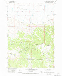
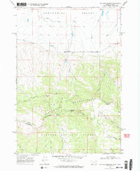
Centennial Valley and the Centennial Mountains dominate this 1968 landscape, where the rugged topography is defined by the high-altitude Continental Divide. This boundary marks the divide between Beaverhead County, Montana and Clark County, Idaho, crossing through prominent peaks such as Big Table Mountain and Little Table Mountain. The map reveals a land utilized for both ranching and timber, anchored by Jones Ranch and buffered by the southern expanses of the Targhee National Forest.
Find a feature on this map
28 named features on this map. Tap any name to fly to it.
Don’t see what you’re looking for? This feature index may not catch every label — zoom into the map to look around manually.
Map Details
Editions of this 1968 Big Table Mountain Map
3 editions found
Other maps of this area

1950 · Lower Red Rock Lake
USGS Topo · 1:62,500

1955 · Dubois
USGS Topo · 1:250,000

1955 · Ashton
USGS Topo · 1:250,000

1958 · Dubois
USGS Topo · 1:250,000

1958 · Ashton
USGS Topo · 1:250,000

1960 · Ashton
USGS Topo · 1:250,000

1968 · Corral Creek
USGS Topo · 1:24,000

1968 · Antelope Peak
USGS Topo · 1:24,000
1968 · Wolverine Creek
USGS Topo · 1:24,000

1972 · Kilgore
USGS Topo · 1:24,000