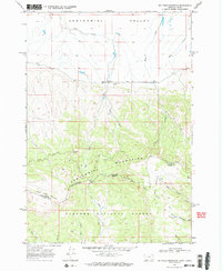
1968 Map of Big Table Mountain
USGS Topo · Published 1984About this map
Big Table Mountain and the Little Table Mountain plateau dominate this high-altitude landscape along the Montana-Idaho border. This survey, completed in the late 1960s, reveals a remote ranching and forestry environment where the Continental Divide separates the Centennial Valley to the north from the Targhee National Forest to the south. Human activity is concentrated around Jones Ranch and the Price Peet Road, while the higher elevations are marked by seasonal water sources like Mule Meadows Spring and Rock Spring. The map documents the intricate hydrology of the region, from the northern flow of Peet Creek to the headwaters of East Camas Creek. Evidence of local industry is sparse, limited to a Gravel Pit near the ranch, emphasizing the area's primary use for open-range grazing and timber management.
Find a feature on this map
28 named features on this map. Tap any name to fly to it.
Don’t see what you’re looking for? This feature index may not catch every label — zoom into the map to look around manually.
Map Details
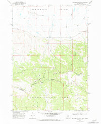
Editions of this 1968 Big Table Mountain Map
3 editions found
Other maps of this area

1950 · Lower Red Rock Lake
USGS Topo · 1:62,500

1955 · Dubois
USGS Topo · 1:250,000

1955 · Ashton
USGS Topo · 1:250,000

1958 · Dubois
USGS Topo · 1:250,000

1958 · Ashton
USGS Topo · 1:250,000

1960 · Ashton
USGS Topo · 1:250,000

1968 · Corral Creek
USGS Topo · 1:24,000

1968 · Big Table Mountain
USGS Topo · 1:24,000

1968 · Antelope Peak
USGS Topo · 1:24,000
1968 · Wolverine Creek
USGS Topo · 1:24,000