1960s Maps of Clearwater County, Idaho
Explore 58 historic maps of Clearwater County from the 1960s. These maps offer a rare glimpse into what life looked like during the 1960s — showing old roads, neighborhoods, homes, and landmarks that have changed or disappeared over time.
Whether you're researching your family's past, planning a metal detecting trip, or studying how Clearwater County's landscape evolved across the 1960s, these high-resolution maps are a powerful tool for exploring the history of this region.
- Focus on a specific era: All maps on this page are from the 1960s, giving you a focused view of this time period.
- See what’s changed: Compare century-old streets, trails, and buildings to today's modern landscape using overlays and satellite layers.
- Research with precision: Use these maps for genealogy, historical research, land use analysis, or educational projects.
- View, download, or print: Maps are fully viewable online in high resolution, and can be downloaded or printed for your own records.
Start exploring Clearwater County's history through authentic maps from the 1960s. This is your window into the past.
Clearwater County, ID maps
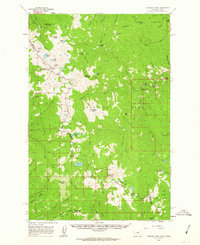
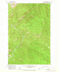
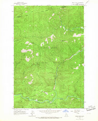
(58)- 1960 Map of Hamilton
 1960 Hamilton1960 Print · USGSThe Bitterroot Valley and surrounding high country are captured here during the late fifties, showing the region's transition into a modern forest and rail corridor. Researchers can trace the path of the Northern Pacific through Missoula or locate landmarks like Fort Missoula and Lake Como.
 - 1960 Map of Straight Peak, 1963 Print
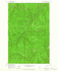
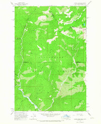
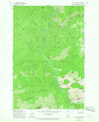
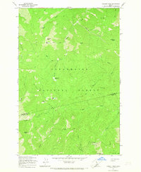
 1960 Straight Peak1963 Print · USGSThe high Bitterroots along the Idaho and Montana border are shown here as they were mapped in the late fifties. You can locate remote high-country outposts like Hole-in-the-Wall Ranch, the Clear Water Crossing Ranger Station, and the Placer Mine near the Montana line.3 unique versions available
 - 1961 Map of Ahsahka, 1963 Print
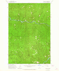
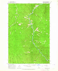
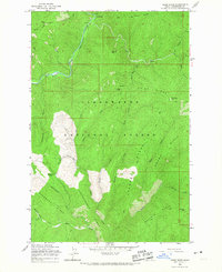
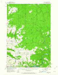 1961 Ahsahka1963 Print · USGSThe Clearwater River country of the early sixties is shown here at the confluence of its north and main forks. Genealogists and local historians can locate rural landmarks such as the Teakean-Cavendish School, Sunnyside Cemetery, and the United Brethren Camp.2 unique versions available
 - 1961 Map of Bovill, 1963 Print
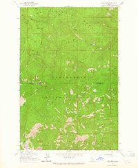
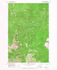
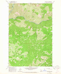
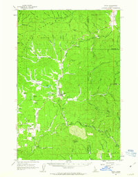 1961 Bovill1963 Print · USGSBovill and Helmer are captured during a period of active rail and mining operations in the Idaho panhandle. Researchers can trace the Milwaukee Road through the timberlands, locating the Mizpah Mine, local Claypits, and the Cem near Bovill.2 unique versions available
 - 1963 Map of Mallard Peak, 1964 Print
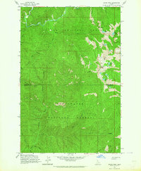
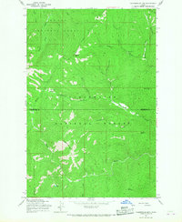
 1963 Mallard Peak1964 Print · USGSThe high Idaho backcountry during the early 1960s is mapped here at the intersection of two national forests. Trace the remote ridgelines and alpine basins once monitored from Mallard Peak Lookout and Black Mtn Lookout, or locate seasonal trails like the Boundary Forest Trail.4 unique versions available
 - 1963 Map of Sheep Mtn, 1964 Print
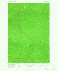
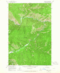
 1963 Sheep Mtn1964 Print · USGSThe North Fork Clearwater River corridor in the early 1960s serves as a hub for Forest Service activity and remote mountain navigation. Researchers can trace the mid-century infrastructure of the Clearwater National Forest through the Canyon Ranger Station, Heliport, and the lookout at Eagle Point.3 unique versions available
 - 1963 Map of Buzzard Roost, 1964 Print
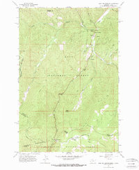
 1963 Buzzard Roost1964 Print · USGSShoshone and Clearwater counties meet in this high backcountry during the early 1960s, where the river and national forests define the landscape. Researchers can locate remote landmarks like Chicadee Cabin, trace the Goat Ridge peaks, and follow Little North Fork Clearwater River.2 unique versions available
 - 1963 Map of Pole Mtn, 1964 Print
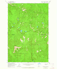
 1963 Pole Mtn1964 Print · USGSThe high Idaho backcountry comes into focus during the early sixties, showing the wild intersection of Shoshone and Clearwater counties. Trace old routes along a Pack Trail or locate remote alpine waters such as Cliff Lake and Steve Lake.3 unique versions available
 - 1963 Map of The Nub, 1964 Print
 1963 The Nub1964 Print · USGSThe North Fork of the Clearwater River cuts through the Idaho backcountry during the early sixties. Researchers can locate remote landmarks like Collins Creek Cabin, the Wallow Mtn Lookout, and the riverside site of Moscow Bar.2 unique versions available
 - 1963 Map of Clarke Mtn, 1964 Print
 1963 Clarke Mtn1964 Print · USGSThe North Fork of the Clearwater River was the primary corridor through this Idaho backcountry during the early 1960s. Researchers can trace the legacy of forest management at Bungalow Ranger Sta and follow the route of the Old RR Grade or the Dead Mule Trail.2 unique versions available
 - 1963 Map of Elizabeth Lake, 1964 Print
 1963 Elizabeth Lake1964 Print · USGSClearwater National Forest in the early sixties remains a remote wilderness of high ridges and glacial basins. Researchers can trace the drainage of Henry Ridge and locate isolated landmarks like Cold Springs Peak, Mush Saddle, and Elizabeth Lake.2 unique versions available
 - 1963 Map of Bacon Peak, 1964 Print
 1963 Bacon Peak1964 Print · USGSShoshone and Clearwater Counties are shown here during the early sixties, documenting a high-elevation wilderness split by two National Forests. Researchers can trace the rugged drainages of the St Joe River and find landmarks like Bacon Peak and Five Lakes Butte.4 unique versions available
 - 1964 Map of Hamilton
 1964 Hamilton1964 Print · USGSThe Bitterroot Valley and its surrounding peaks are captured in detail during the mid-1960s, showing the early infrastructure of the Northern Rockies. Genealogists and historians can trace family roots in Hamilton and Stevensville or follow the historic Lolo Trail and Nez Perce Trail.
 - 1964 Map of Lolo Hot Springs, 1967 Print
 1964 Lolo Hot Springs1967 Print · USGSThe Bitterroot high country along the Montana and Idaho border comes into focus in the mid-1960s. Trace the paths of early forest travel through Lolo Pass, find the State Line Cabin, and locate landmarks like Snowshoe Falls and Packer Meadows.3 unique versions available
 - 1964 Map of Rocky Point, 1967 Print
 1964 Rocky Point1967 Print · USGSThe Clearwater National Forest in the mid-1960s reveals a wilderness being mapped for conservation and recreation. Researchers can locate forest service hubs like the Powell Ranger Station and tracing landmarks such as Lochsa Lodge and Star Meadows.2 unique versions available
 - 1964 Map of Granite Pass, 1967 Print
 1964 Granite Pass1967 Print · USGSThe Bitterroot wilderness in the mid-1960s is captured here along the high divide between Idaho and Montana. Hikers and historians can trace the remote State Line Trail and locate the Lookout Tower near the headwaters of Crooked Fork.2 unique versions available
 - 1965 Map of Hoodoo Pass, 1967 Print
 1965 Hoodoo Pass1967 Print · USGSHigh in the Bitterroot range during the mid-sixties, this survey captures the transition between Idaho and Montana at Hoodoo Pass. Trace the historic Hoodoo Pack Trail past Hoodoo Lake and the remote drainage of Vanderbilt Gulch.3 unique versions available
 - 1965 Map of Osier Ridge, 1967 Print
 1965 Osier Ridge1967 Print · USGSClearwater County’s remote backcountry is documented here in the mid-1960s as a landscape of steep timbered ridges and primitive pack trails. Researchers can trace the layout of the Moose City (Site), the location of the Osier Ridge Lookout Tower, and the path of the North Fork Clearwater River.2 unique versions available
 - 1965 Map of Junction Mtn, 1967 Print
 1965 Junction Mtn1967 Print · USGSClearwater National Forest in the mid-1960s remained a remote timber and fire management landscape defined by its river valleys and high ridges. Researchers can trace the early wilderness infrastructure through features like the Lookout Tower, Cold Springs Work Center, and the Pack Trail.
 - 1965 Map of Moose Mtn, 1967 Print
 1965 Moose Mtn1967 Print · USGSThe Clearwater National Forest backcountry is captured here during the mid-sixties, dominated by the winding North Fork Clearwater River. You can trace historical access via the Pack Trail to remote summits like Moose Mtn and Elizabeth Mtn.2 unique versions available
 - 1965 Map of Lean-to Point, 1967 Print
 1965 Lean-to Point1967 Print · USGSThe Clearwater National Forest in the mid-sixties remained a landscape of primitive trails and remote mountain outposts. Modern researchers can trace the old Pack Trail routes connecting Weitas Station and Wedge Camp through the high country.2 unique versions available
 - 1965 Map of Scurvy Mtn., 1967 Print
 1965 Scurvy Mtn.1967 Print · USGSClearwater National Forest in the mid-1960s remains a wilderness of pack trails and river forks. Researchers can trace historic forest service routes across the Junction Creek Pack Bridge to the high Scurvy Mtn Lookout and Paradise Meadows.2 unique versions available
 - 1965 Map of Chamberlain Mtn, 1967 Print
 1965 Chamberlain Mtn1967 Print · USGSThe high Idaho backcountry of Shoshone and Clearwater counties comes into focus in the mid-1960s, showing a landscape defined by forest service operations and mineral exploration. Researchers can trace remote mountain activity through landmarks like the Clearwater Mine, Klug Cabin, and the extensive Pack Trail network.2 unique versions available
 - 1965 Map of Gorman Hill, 1967 Print
 1965 Gorman Hill1967 Print · USGSThe Clearwater National Forest backcountry is mapped here in the mid-1960s, showing a landscape defined by forest management and remote trails. You can trace early wilderness infrastructure through the Cayuse Landing Field, Kelly Creek Work Center, and various named routes like the Pack Trail.2 unique versions available
 - 1965 Map of Lookout Peak, 1967 Print
 1965 Lookout Peak1967 Print · USGSThe high backcountry of the Clearwater National Forest is captured here in the mid-1960s, showing a landscape defined by seasonal camps and mountain trails. Trace the routes used by rangers and early visitors through Windy Ridge Camp, Little Cabin Meadows, and 12 Mile Saddle.2 unique versions available
Showing maps 1-25 of 58
Top cities of Clearwater County
Frequently asked questions
- What are the different types of historical maps available for Clearwater County?
- What is the oldest map of Clearwater County?
- Where can I purchase historical maps of Clearwater County for my home or office?
- Where can I download high-res historical maps of Clearwater County?
- Are there historical topographic maps available for Clearwater County?
- Is there historical aerial imagery available for Clearwater County?
- Where are historical maps of Clearwater County sourced from?