Old Maps of Gem County, Idaho for Metal Detecting
Plan your next treasure hunt with 144 historic maps of Gem County. Find old homesites, ghost towns, trails, and gathering spots that may be lost to time — perfect for identifying promising metal detecting locations.
- Locate forgotten sites: Uncover places like long-lost settlements, abandoned rail lines, or gathering spots.
- Plan better hunts: Use map overlays combined with LiDAR or satellite views to narrow in on historically rich areas.
- Made for detectorists: Thousands of hobbyists use these maps to discover relics, coins, and hidden history.
Use these historic maps to boost your research and find new opportunities beneath the surface of Gem County.
Gem County, ID maps
(144)- 1892 Map of Boise
 1892 Boise1892 Print · USGSThe Boise Valley and surrounding highlands are shown here in the early 1890s as irrigation and railroads transformed the Idaho territory. Researchers can trace the early city grid near Boise Barracks and the paths of the Idaho Central Railroad and the Settlers Canal.
 - 1894 Map of Squaw Creek
 1894 Squaw Creek1894 Print · USGSCentral Idaho in the 1890s was a landscape of mountain valleys and river crossings where early pioneers established remote outposts. Trace the locations of historic river access at Smith Ferry and early industry at Walker Mill or the settlement of Ola.5 unique versions available
 - 1897 Map of Boise
 1897 Boise1897 Print · USGSBoise and the surrounding valley are captured here in the late nineteenth century as irrigation and rail networks began to reshape the high desert. Researchers can trace early water rights through the Settlers Canal or locate historic sites like the Boise Barracks and the Natatorium.4 unique versions available
 - 1897 Map of Weiser
 1897 Weiser1897 Print · USGSThe Idaho-Oregon borderlands come alive in the 1890s as the Oregon Short Line connects river towns along the Snake River. Researchers can trace the early footprints of Weiser, Payette, and Middle Valley alongside now-obscure points like Mosquite and Washoe.5 unique versions available
 - 1898 Map of Nampa
 1898 Nampa1898 Print · USGSThe Treasure Valley's transformation is visible in the 1890s as railroads and massive irrigation projects began to reshape the high desert. Researchers can trace the development of early rail lines like the Boise Nampa & Owyhee R. R. and early canals such as the Riverside Canal and Newman Canal.4 unique versions available
 - 1911 Map of Meadows
 1911 Meadows1911 Print · USGSThe high meadows and river valleys of central Idaho are seen here during the early years of the national forest system. Genealogists and historians can locate remote settlements like Lardo and Crawford, or trace rural schoolhouses including Hayes School and Rutledge School.2 unique versions available
 - 1953 Map of Smiths Ferry, 1955 Print
 1953 Smiths Ferry1955 Print · USGSThe Payette River valley in the early fifties was a landscape of remote rail stops and mountain lookouts. Genealogists can trace rural school locations like Lower Alpha School (Aban'd) or follow the UNION PACIFIC line through Smiths Ferry.3 unique versions available
 - 1953 Map of Banks, 1955 Print
 1953 Banks1955 Print · USGSThe confluence of the Payette River forks defines this mid-century survey of Boise and Valley counties. Genealogists can trace the rural mountain life of the early fifties through the High Valley Sch (Aband), Pinehurst Church, and the settlement of Banks.3 unique versions available
 - 1953 Map of Montour, 1956 Print
 1953 Montour1956 Print · USGSThe Payette River valley in the early fifties shows a landscape of reclamation and resource extraction. Researchers can trace the rail corridor of the Union Pacific or locate early mining sites like the Gem State Mine and the Sweet Cemetery.3 unique versions available
 - 1954 Map of Cascade, 1956 Print
 1954 Cascade1956 Print · USGSThe High Valley of the Payette River is captured here in the mid-fifties as the new reservoir redefines the landscape. Genealogists and historians can locate early settlements like Roseberry and Donnelly, the Hopps Cemetery, and high-country landmarks like Mica Mine.2 unique versions available
 - 1955 Map of Baker, 1964 Print
 1955 Baker1964 Print · USGSThe Oregon-Idaho borderlands are captured here in the mid-fifties as the Snake River underwent massive changes from dam construction. Trace the Oregon Trail Memorial Monument near Baker, find early mines like Virtue Mine, and follow the Union Pacific Railroad through Huntington.4 unique versions available
 - 1955 Map of Boise, 1977 Print
 1955 Boise1977 Print · USGSThe Treasure Valley and Owyhee uplands are shown in detail during the mid-fifties, capturing the region's transition into a major agricultural and urban hub. Researchers can trace the Union Pacific line through Nampa, explore the volcanic Jordan Craters, or locate the historic mining district of Silver City.
 - 1958 Map of Boise
 1958 Boise1958 Print · USGSThe Treasure Valley and Snake River Plain come alive in the mid-fifties as the rail-and-river economy transitions into a modern agricultural hub. Trace the Union Pacific lines through Nampa or locate remote landmarks like Initial Point and the Rockville settlement.2 unique versions available
 - 1959 Map of Baker
 1959 Baker1959 Print · USGSThe Oregon and Idaho borderlands come alive in the late fifties, showing the rugged corridor along the Snake River and the high peaks of the Wallowa Mountains. Researchers can trace the legacy of the Union Pacific railroad or locate historic mining sites like the Flagstaff Mine and Virtue Mine.2 unique versions available
 - 1962 Map of Boise
 1962 Boise1962 Print · USGSThe Treasure Valley at the start of the sixties reveals a landscape of expanding towns and complex irrigation networks along the Snake River. Genealogists and historians can trace the foundations of modern Idaho through markers like Initial Point, the mining history of Silver City, and the early infrastructure of Lucky Peak Dam.
 - 1970 Map of Dodson Pass, 1973 Print
 1970 Dodson Pass1973 Print · USGSThe Gem and Washington county line in the early 1970s is a landscape of remote forest outposts and high-mountain passes. Trace old wilderness access routes to Third Fork Guard Station, Dodson Pass, and the waters of Beech Lake.
 - 1970 Map of Hog Cove Butte, 1973 Print
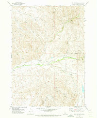 1970 Hog Cove Butte1973 Print · USGSThe high-desert ranchlands of Payette and Gem counties are captured here just as modern aerial surveying began to document the landscape in the late sixties. Researchers can trace historic water routes and stock points like French Corner, Raymer Spring, and the Flume.
 - 1970 Map of Squaw Butte, 1973 Print
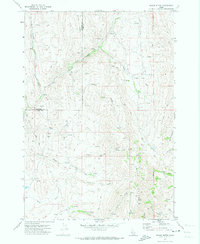 1970 Squaw Butte1973 Print · USGSThe high desert terrain of Gem and Payette counties is captured here during the 1970s, showcasing a landscape of ranching drainages and remote peaks. Trace the intricate network of water rights and range access through features like Bissel Creek, Squaw Butte, and the Gaging Station on Big Willow Creek.
 - 1970 Map of Coonrod Gulch, 1973 Print
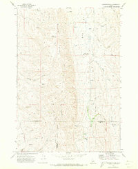 1970 Coonrod Gulch1973 Print · USGSSouthwestern Idaho ranching country is captured here in the early seventies, where Washington, Payette, and Gem counties meet. Trace the remote Butte Ranch and the network of high-country water sources like Mossman Spring and French Spring.
 - 1970 Map of Southwest Emmett, 1973 Print
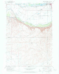 1970 Southwest Emmett1973 Print · USGSThe Emmett Valley was a complex landscape of irrigation and industry in the early seventies, defined by the Payette River and its many canals. Researchers can trace rural school districts like Vanderdasson School or locate the historic Del Monte and Cold House sites along the Union Pacific tracks.
 - 1970 Map of Ola, 1974 Print
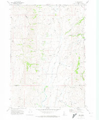 1970 Ola1974 Print · USGSThe small settlement of Ola is documented in the 1970s, positioned at the scenic confluence of Squaw Creek and Ola Creek. Local historians can trace the early community via the Cem, the Roadside Rest, and the rugged Jeep Trail winding through the Boise National Forest.
 - 1970 Map of Sand Hollow, 1974 Print
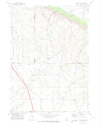 1970 Sand Hollow1974 Print · USGSThe Emmett Valley irrigation network is in full operation by the 1970s, showcasing the massive engineering used to water the Idaho desert. Researchers can trace the Union Pacific corridor near Amsco, locate the rural Cemetery, and follow the path of the Black Canyon Canal.
 - 1970 Map of Webb Creek, 1974 Print
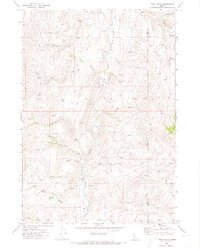 1970 Webb Creek1974 Print · USGSThe Gem and Boise County line comes alive in the early seventies, showing a high-country landscape shaped by water and early industry. Trace the primitive Saddler Trail or locate mining history at the Liberty Mine and Timber Butte.
 - 1970 Map of Twin Sisters, 1974 Print
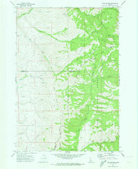 1970 Twin Sisters1974 Print · USGSThe high backcountry of the Adams County area is captured here during the 1970s at the meeting point of two national forests. Trace remote routes through Mill Creek Summit or follow the deep drainages of Carson Gulch and Lava Gulch.
 - 1971 Map of Letha, 1973 Print
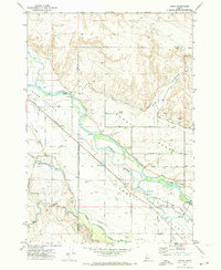 1971 Letha1973 Print · USGSThe Lower Payette Valley in the early seventies shows a complex network of irrigation and rail infrastructure supporting small Idaho river communities. Genealogists and local historians can locate Letha, trace the Union Pacific line, and find family-named sites like Falk Cem and Cooper School.
Showing maps 1-25 of 144
Top cities of Gem County
Frequently asked questions
- What are the different types of historical maps available for Gem County?
- What is the oldest map of Gem County?
- Where can I purchase historical maps of Gem County for my home or office?
- Where can I download high-res historical maps of Gem County?
- Are there historical topographic maps available for Gem County?
- Is there historical aerial imagery available for Gem County?
- Where are historical maps of Gem County sourced from?