2010s Maps of Gem County, Idaho
Explore 57 historic maps of Gem County from the 2010s. These maps offer a rare glimpse into what life looked like during the 2010s — showing old roads, neighborhoods, homes, and landmarks that have changed or disappeared over time.
Whether you're researching your family's past, planning a metal detecting trip, or studying how Gem County's landscape evolved across the 2010s, these high-resolution maps are a powerful tool for exploring the history of this region.
- Focus on a specific era: All maps on this page are from the 2010s, giving you a focused view of this time period.
- See what’s changed: Compare century-old streets, trails, and buildings to today's modern landscape using overlays and satellite layers.
- Research with precision: Use these maps for genealogy, historical research, land use analysis, or educational projects.
- View, download, or print: Maps are fully viewable online in high resolution, and can be downloaded or printed for your own records.
Start exploring Gem County's history through authentic maps from the 2010s. This is your window into the past.
Gem County, ID maps
(57)- 2010 Map of Hog Cove Butte, 2010 Print
 2010 Hog Cove Butte2010 Print · USGSPayette County rangeland comes into focus in this late-career survey of the Idaho high desert. Researchers can trace the network of small-scale water management at Bettis Dam and the rural junction of French Corner near the banks of Big Willow Creek.
 - 2010 Map of Cherry Gulch, 2010 Print
 2010 Cherry Gulch2010 Print · USGSThe Payette County highlands are captured here in the early twenty-first century, showing a landscape defined by seasonal drainages and high plateaus. Researchers can trace the paths of Big Willow Creek and find specific landmarks like Indian Jakes or the Lower Corral Creek Spring.
 - 2010 Map of Webb Creek, 2010 Print
 2010 Webb Creek2010 Print · USGSGem County at the turn of the decade is defined by its deep drainages and rural mining history. Genealogists and historians can trace local development along Squaw Creek or locate landmarks like Liberty Mine and Ola Valley.
 - 2010 Map of Coonrod Gulch, 2010 Print
 2010 Coonrod Gulch2010 Print · USGSPayette County ranching country is documented here during the early 2000s, showing a landscape defined by deep gulches and vital springs. Researchers can trace land use through landmarks like Butte Ranch, Little Dam, and the drainages of Coonrod Gulch.
 - 2010 Map of Southeast Emmett, 2010 Print
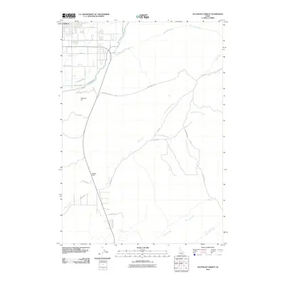 2010 Southeast Emmett2010 Print · USGSThe outskirts of Emmett and the rising foothills come into focus in the early twenty-first century, showing a landscape defined by irrigation and high-desert drainage. Researchers can trace the path of the Black Canyon Canal or locate local landmarks like Freezeout Hill and Jackass Gulch.
 - 2010 Map of Sand Hollow, 2010 Print
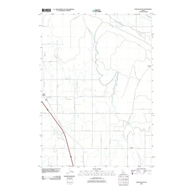 2010 Sand Hollow2010 Print · USGSPayette County's agricultural heartland is documented here during the early twenty-first century, showcasing a sophisticated irrigation network. Trace the routes of the Farmers Cooperative Canal, find the rural siding at Jenness, and follow the path of Old Hwy 30.
 - 2010 Map of Southwest Emmett, 2010 Print
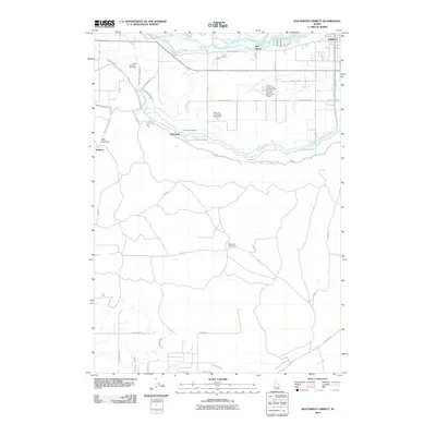 2010 Southwest Emmett2010 Print · USGSThe Payette River valley in the early twenty-first century is defined by its complex irrigation networks and rural settlements. Researchers can trace the engineering of the Farmers Cooperative Canal and locate sites like Bramwell, Del Monte, and the Mud Lake Cow Camp.
 - 2010 Map of Northeast Emmett, 2010 Print
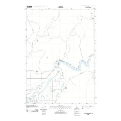 2010 Northeast Emmett2010 Print · USGSThe northern reaches of the Payette River valley appear in this recent survey, showcasing the vital irrigation networks around the town of Emmett. Researchers can trace the path of the Black Canyon Canal from the Black Canyon Dam past local landmarks like Little Butte and Fuller Island.
 - 2010 Map of Montour, 2010 Print
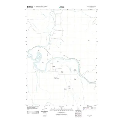 2010 Montour2010 Print · USGSThe Payette River valley in Gem County is captured here in the early twenty-first century, showing the rural settlements of Sweet and Montour. Researchers can trace local landmarks like Sweet Cemetery, the Gatfield Number Two Dam, and the geographic profile of Regan Butte.
 - 2010 Map of Northwest Emmett, 2010 Print
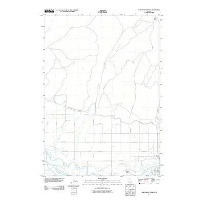 2010 Northwest Emmett2010 Print · USGSNorth of Emmett in the late 2000s, this area shows a landscape defined by the Payette River and its irrigation network. Genealogists and local historians can trace family-named sites like Van Duesen Ranch or locate burials at Emmett Cemetery.
 - 2010 Map of Letha, 2010 Print
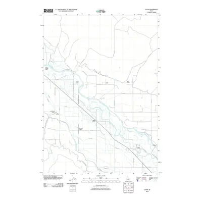 2010 Letha2010 Print · USGSThe Payette River valley at the start of the 21st century reveals a landscape shaped by water and agriculture. Genealogists and local historians can trace family landmarks like Falk Cemetery, Cooper School, and the rural community of Letha.
 - 2010 Map of Pearl, 2010 Print
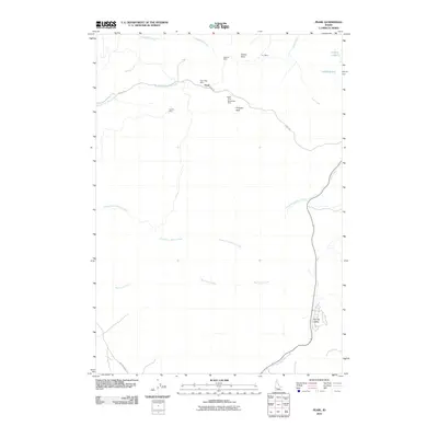 2010 Pearl2010 Print · USGSThe Boise Basin foothills north of Eagle are shown here in the early 21st century as modern development meets a storied mining past. Researchers can trace the layout of historic lode claims including Gem State Mine, Monroe Mine, and the settlement at Pearl.
 - 2011 Map of Cold Spring Ridge, 2011 Print
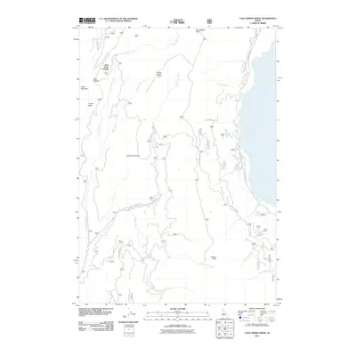 2011 Cold Spring Ridge2011 Print · USGSUpper Gem County and the surrounding Idaho highlands are depicted here in the early twenty-first century. Outdoor enthusiasts and local historians can trace legacy routes like W Mountain Rd or locate remote landmarks such as Beer Bottle Crossing and Mica Saddle.
 - 2011 Map of Sage Hen Reservoir, 2011 Print
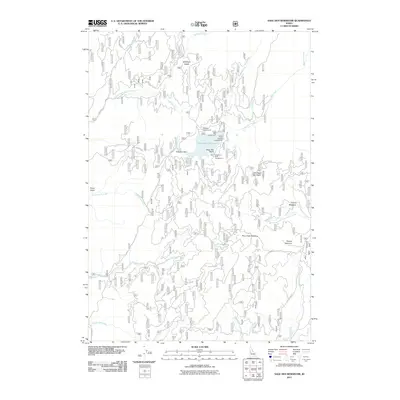 2011 Sage Hen Reservoir2011 Print · USGSGem County’s high-country waters and timber lands are documented here in the early twenty-first century. Researchers and outdoorsmen can trace the forest road network to Sage Hen Reservoir, Tripod Summit, and Hollywood Point Campground.
 - 2011 Map of High Valley, 2011 Print
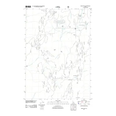 2011 High Valley2011 Print · USGSHigh Valley is shown in this Idaho mountain survey from the early twenty-first century, revealing a unique landscape of high-altitude aviation and water management. Trace local infrastructure from High Valley School to landmarks like Holbrook Dam and Ola Summit.
 - 2011 Map of Dodson Pass, 2011 Print
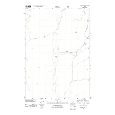 2011 Dodson Pass2011 Print · USGSGem County's high country is documented here in the early twenty-first century, showing the remote settlement of Gross. Researchers can trace old mountain routes and land features such as Dodson Pass, Tree Spring Mountain, and the waters of Beech Lake.
 - 2011 Map of Ola, 2011 Print
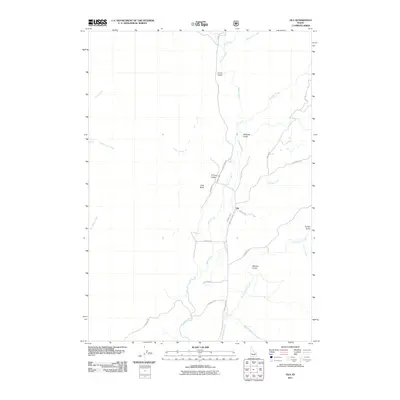 2011 Ola2011 Print · USGSThe rural settlement of Ola and its surrounding Gem County terrain are documented here at the turn of the decade. Genealogists and local historians can trace family-named landmarks like Joes Butte, Currin Gulch, and property access via Jacknife Ln or Butler Ln.
 - 2011 Map of Tripod Peak, 2011 Print
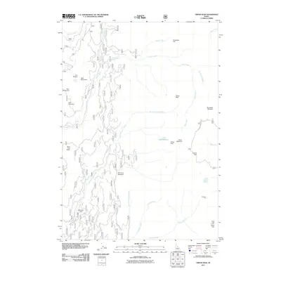 2011 Tripod Peak2011 Print · USGSThe West Mountains come into sharp focus in the early 2010s, revealing a landscape of high-elevation meadows and peaks. Researchers can trace the drainage of Squaw Creek while identifying specific landmarks like the Tripod Peak Lookout, Hangman Tree, and Gabes Bathtub.
 - 2011 Map of Twin Sisters, 2011 Print
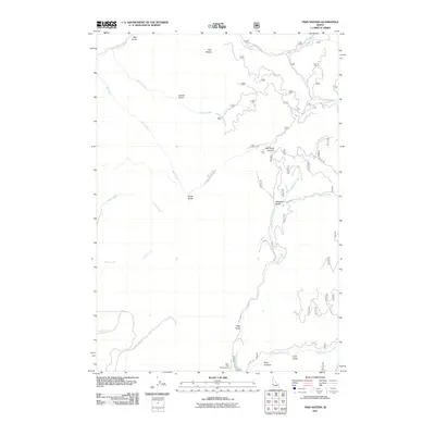 2011 Twin Sisters2011 Print · USGSIn the Idaho backcountry during the early twenty-first century, this area shows a landscape defined by forestry roads and rugged canyon drainages. Researchers can trace the paths of Little Weiser River Rd and locate specific sites like Third Fork Project Camp and Mill Creek Summit.
 - 2013 Map of Pearl, 2013 Print
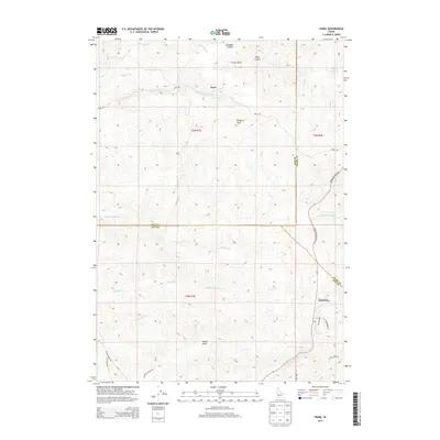 2013 Pearl2013 Print · USGSThe hills north of Eagle were a rugged intersection of three counties in the early twenty-first century. Researchers can trace the winding Horseshoe Bend Rd past Pearl and locate landmarks like Prospect Peak and Siphon Lakes.
 - 2013 Map of Sand Hollow, 2013 Print
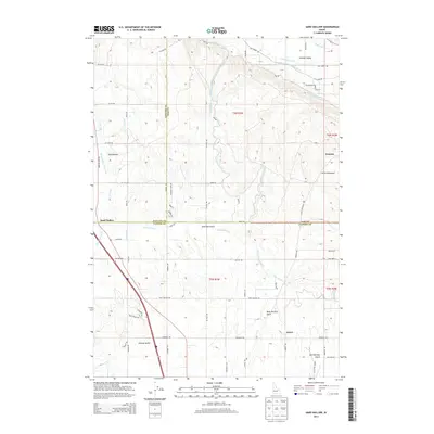 2013 Sand Hollow2013 Print · USGSThe borderlands of Payette, Gem, and Canyon counties are defined here by a complex irrigation network in the early twenty-first century. Researchers can trace the routes of the Black Canyon Canal and Enterprise Canal past local landmarks like Sand Hollow and Jenness.
 - 2013 Map of Southwest Emmett, 2013 Print
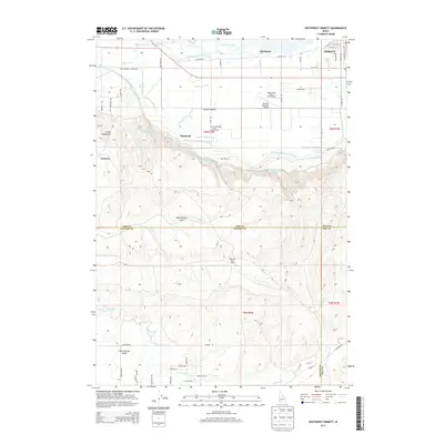 2013 Southwest Emmett2013 Print · USGSThe Gem County irrigation corridor and the outskirts of Emmett are captured here in the early twenty-first century. Researchers can trace the complex water systems of the Black Canyon Canal and Enterprise Canal or locate properties near Bramwell and Jenness.
 - 2013 Map of Montour, 2013 Print
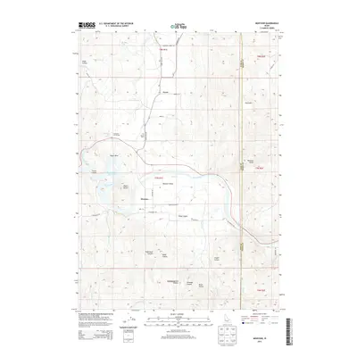 2013 Montour2013 Print · USGSThe Montour Valley and its thermal waters are documented here in the early twenty-first century. Genealogists and historians can locate Sweet Cem, trace the roads connecting Sweet and Montour, and identify landmarks like Roystone Hot Springs.
 - 2013 Map of Southeast Emmett, 2013 Print
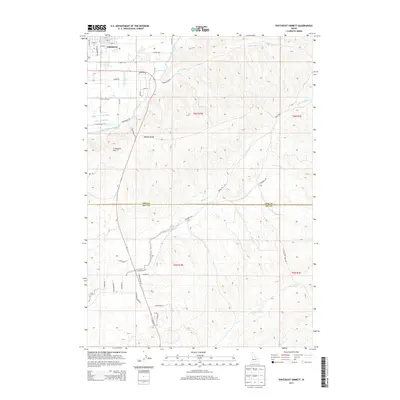 2013 Southeast Emmett2013 Print · USGSSoutheast of Emmett in the early 2010s, this area shows the complex intersection of irrigation canals and desert uplands. Trace the paths of the Black Canyon Canal and Last Chance Canal or locate landmarks like Freezeout Hill and N Firebird Speedway.
 - 2013 Map of Northeast Emmett, 2013 Print
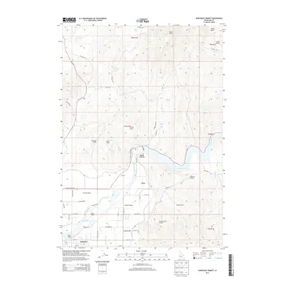 2013 Northeast Emmett2013 Print · USGSEmmett and the surrounding Gem County valley are captured here in the early 2010s, showing a landscape defined by industrial irrigation and river geography. Genealogists and local historians can trace family-named sites and rural developments from Plaza to the Black Canyon Reservoir and Fuller Island.
Showing maps 1-25 of 57
Top cities of Gem County
Frequently asked questions
- What are the different types of historical maps available for Gem County?
- What is the oldest map of Gem County?
- Where can I purchase historical maps of Gem County for my home or office?
- Where can I download high-res historical maps of Gem County?
- Are there historical topographic maps available for Gem County?
- Is there historical aerial imagery available for Gem County?
- Where are historical maps of Gem County sourced from?