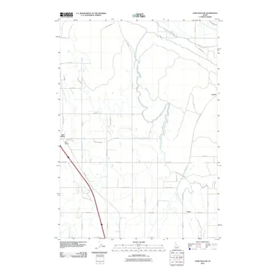
2010 Map of Sand Hollow
USGS Topo · Published 2010About this map
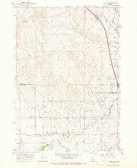
Sand Hollow serves as the focal point for this agrarian landscape in Payette County, defined by a complex network of irrigation infrastructure essential to the high desert valley. The map documents the intricate path of the Farmers Cooperative Canal and the various branches of the C-Line Canal, including the C-Line Canal East and C-Line Canal West. These waterways, alongside the Sand Hollow Wasteway, underscore the engineered nature of the local environment, where water management dictated settlement patterns and land use.
Find a feature on this map
40 named features on this map. Tap any name to fly to it.
Don’t see what you’re looking for? This feature index may not catch every label — zoom into the map to look around manually.
Map Details
Editions of this 2010 Sand Hollow Map
This is the sole edition of this map. No revisions or reprints were ever made.
Other maps of this area

1898 · Nampa
USGS Topo · 1:125,000

1955 · Boise
USGS Topo · 1:250,000

1957 · Notus
USGS Topo · 1:24,000

1958 · Boise
USGS Topo · 1:250,000
1958 · Middleton
USGS Topo · 1:24,000
1958 · Caldwell
USGS Topo · 1:24,000

1962 · Boise
USGS Topo · 1:250,000
1965 · New Plymouth
USGS Topo · 1:24,000
1965 · Parma SE
USGS Topo · 1:24,000
1970 · Southwest Emmett
USGS Topo · 1:24,000