2000s (21st Century) Maps of Gem County, Idaho
Explore 107 historic maps of Gem County from the 2000s (21st Century). These maps offer a rare glimpse into what life looked like during the 2000s — showing old roads, neighborhoods, homes, and landmarks that have changed or disappeared over time.
Whether you're researching your family's past, planning a metal detecting trip, or studying how Gem County's landscape evolved across the 2000s, these high-resolution maps are a powerful tool for exploring the history of this region.
- Focus on a specific era: All maps on this page are from the 2000s, giving you a focused view of this time period.
- See what’s changed: Compare century-old streets, trails, and buildings to today's modern landscape using overlays and satellite layers.
- Research with precision: Use these maps for genealogy, historical research, land use analysis, or educational projects.
- View, download, or print: Maps are fully viewable online in high resolution, and can be downloaded or printed for your own records.
Start exploring Gem County's history through authentic maps from the 2000s. This is your window into the past.
Gem County, ID maps
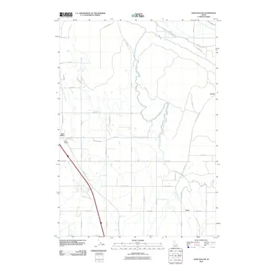
(107)- 2004 Map of Twin Sisters, 2007 Print
 2004 Twin Sisters2007 Print · USGSThe high timber and headwaters of the central Idaho mountains are mapped here just after the turn of the millennium. Researchers can trace the county lines and forest boundaries between Twin Sisters, the Middle Fork Weiser River, and Lava Ridge.
 - 2004 Map of Tripod Peak, 2007 Print
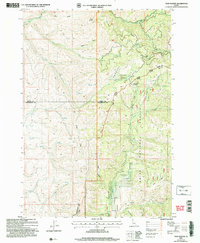
 2004 Tripod Peak2007 Print · USGSThe Boise Mountains at the start of the millennium offer a detailed look at the high-country divide between Gem and Valley counties. Researchers can trace remote alpine landmarks like Gabes Bathtub, the lookout at Tripod Peak, and the waters of Blue Lake.
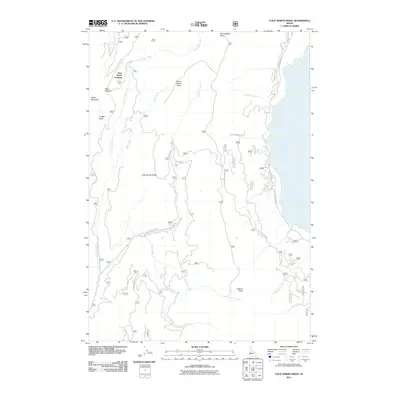
 - 2004 Map of Cold Spring Ridge, 2007 Print
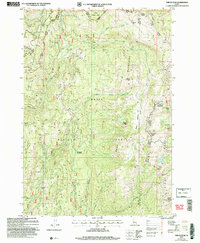
 2004 Cold Spring Ridge2007 Print · USGSIdaho's high forest country along the shores of Cascade Lake comes to life in this early 2000s survey. Outdoor enthusiasts and local historians can trace mountain access via the Arling Trail and locate curiosities like Beer Bottle Crossing.
 - 2010 Map of Hog Cove Butte, 2010 Print
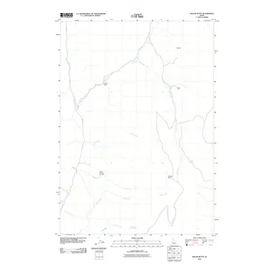
 2010 Hog Cove Butte2010 Print · USGSCovers Gem County, including Payette County, United States, and other nearby areas
 - 2010 Map of Cherry Gulch, 2010 Print
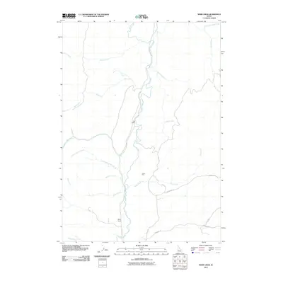
 2010 Cherry Gulch2010 Print · USGSCovers Gem County, including Payette County, United States, and other nearby areas
 - 2010 Map of Webb Creek, 2010 Print
 2010 Webb Creek2010 Print · USGSCovers Gem County, including Boise County, United States, and other nearby areas
 - 2010 Map of Coonrod Gulch, 2010 Print
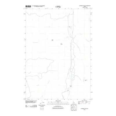 2010 Coonrod Gulch2010 Print · USGSCovers Gem County, including Payette County, Washington County, and other nearby areas
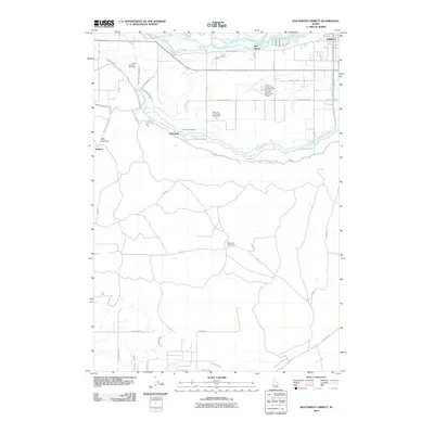
 - 2010 Map of Southeast Emmett, 2010 Print
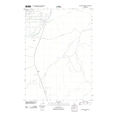 2010 Southeast Emmett2010 Print · USGSCovers Gem County, including Eagle, Emmett, and other nearby areas
 - 2010 Map of Sand Hollow, 2010 Print
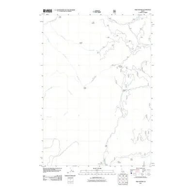
 2010 Sand Hollow2010 Print · USGSCovers Gem County, including Sand Hollow, Canyon County, and other nearby areas
 - 2010 Map of Southwest Emmett, 2010 Print
 2010 Southwest Emmett2010 Print · USGSCovers Gem County, including Emmett, Bramwell, and other nearby areas
 - 2010 Map of Northeast Emmett, 2010 Print
 2010 Northeast Emmett2010 Print · USGSCovers Gem County, including Emmett, United States, and other nearby areas
 - 2010 Map of Montour, 2010 Print
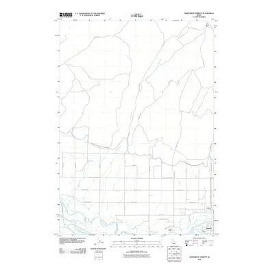
 2010 Montour2010 Print · USGSCovers Gem County, including Sweet, Montour, and other nearby areas
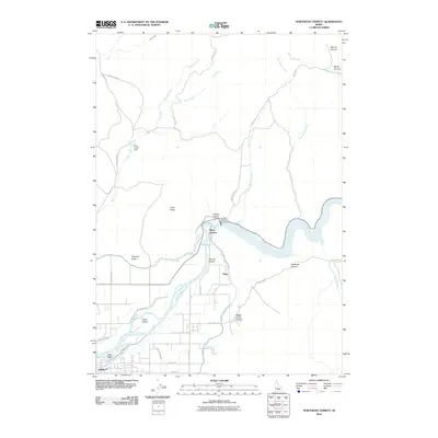
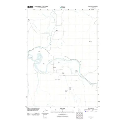
 - 2010 Map of Northwest Emmett, 2010 Print
 2010 Northwest Emmett2010 Print · USGSCovers Gem County, including Emmett, Payette County, and other nearby areas
 - 2010 Map of Letha, 2010 Print
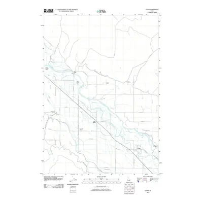 2010 Letha2010 Print · USGSCovers Gem County, including Letha, Payette County, and other nearby areas
 - 2010 Map of Pearl, 2010 Print
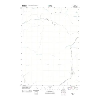 2010 Pearl2010 Print · USGSCovers Gem County, including Eagle, Avimor, and other nearby areas
 - 2011 Map of Cold Spring Ridge, 2011 Print
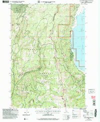
 2011 Cold Spring Ridge2011 Print · USGSCovers Gem County, including Valley County, Adams County, and other nearby areas
 - 2011 Map of Sage Hen Reservoir, 2011 Print
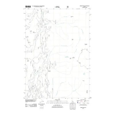
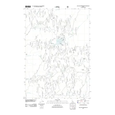 2011 Sage Hen Reservoir2011 Print · USGSCovers Gem County, including Valley County, United States, and other nearby areas
 - 2011 Map of High Valley, 2011 Print
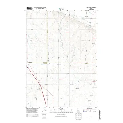
 2011 High Valley2011 Print · USGSCovers Gem County, including Valley County, Boise County, and other nearby areas
 - 2011 Map of Dodson Pass, 2011 Print
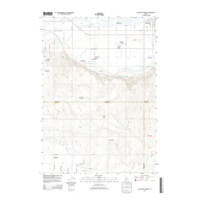
 2011 Dodson Pass2011 Print · USGSCovers Gem County, including Washington County, United States, and other nearby areas
 - 2011 Map of Ola, 2011 Print
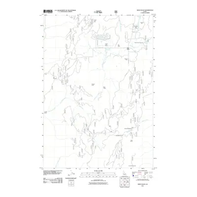
 2011 Ola2011 Print · USGSCovers Gem County, including Washington County, Boise County, and other nearby areas
 - 2011 Map of Tripod Peak, 2011 Print
 2011 Tripod Peak2011 Print · USGSCovers Gem County, including Valley County, Adams County, and other nearby areas
 - 2011 Map of Twin Sisters, 2011 Print
 2011 Twin Sisters2011 Print · USGSCovers Gem County, including Washington County, Adams County, and other nearby areas
 - 2013 Map of Pearl, 2013 Print
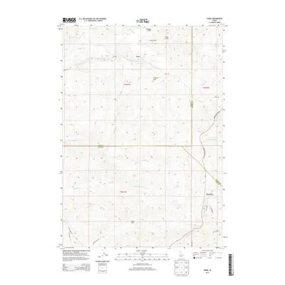 2013 Pearl2013 Print · USGSCovers Gem County, including Eagle, Avimor, and other nearby areas
 - 2013 Map of Sand Hollow, 2013 Print
 2013 Sand Hollow2013 Print · USGSCovers Gem County, including Sand Hollow, Canyon County, and other nearby areas
 - 2013 Map of Southwest Emmett, 2013 Print
 2013 Southwest Emmett2013 Print · USGSCovers Gem County, including Emmett, Bramwell, and other nearby areas
Showing maps 1-25 of 107
Top cities of Gem County
Frequently asked questions
- What are the different types of historical maps available for Gem County?
- What is the oldest map of Gem County?
- Where can I purchase historical maps of Gem County for my home or office?
- Where can I download high-res historical maps of Gem County?
- Are there historical topographic maps available for Gem County?
- Is there historical aerial imagery available for Gem County?
- Where are historical maps of Gem County sourced from?