Old Maps of Grangeville, Idaho for Genealogy
Trace your family roots with 17 historic maps of Grangeville. These high-res maps reveal old neighborhoods, homesites, landmarks, and streets — helping you uncover where your ancestors lived and how the area evolved over time.
- Explore historic neighborhoods: Identify where your relatives may have lived in the 1800s or 1900s.
- Compare maps over time: Trace the changes in streets, buildings, and landmarks for multi-generational research.
- Perfect for genealogy & ancestry research: Used by family historians and researchers to map out lineage and migration.
These maps are an incredible resource for exploring your personal connection to Grangeville's past.
Grangeville, ID maps
(17)- 1955 Map of Grangeville, 1964 Print
 1955 Grangeville1964 Print · USGSThe high country of the Idaho-Oregon border comes alive in the mid-1950s, showing the deep river canyons and mountain peaks. Trace the Union Pacific RR through the valleys or locate settlements like Grangeville, Joseph, and the shoreline of Wallowa Lake.4 unique versions available
 - 1959 Map of Grangeville
 1959 Grangeville1959 Print · USGSThe high alpine peaks and deep river canyons of the Idaho-Oregon borderlands are captured in the late fifties. Researchers can trace the Union Pacific RR through the valleys to settlements like Enterprise, Union, and Grangeville.2 unique versions available
 - 1963 Map of Grangeville West, 1964 Print
 1963 Grangeville West1964 Print · USGSGrangeville and its Idaho County environs are captured here in the early sixties, showing the town at the edge of the Camas Prairie. Researchers can trace local landmarks like Tolo Lake, the County Airport, and the small settlement of Denver.2 unique versions available
 - 1963 Map of Grangeville East, 1965 Print
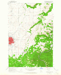 1963 Grangeville East1965 Print · USGSGrangeville and the surrounding Camas Prairie are captured in the early sixties as the regional hub transitioned into a modern era. Researchers can locate family landmarks like Fairview Cem, the site of the Dewey Mine, and the mid-century Drive-in Theater.
 - 1980 Map of Grangeville
 1980 Grangeville1980 Print · USGSGrangeville and the surrounding Camas Prairie are captured in the late twentieth century as the region balanced agriculture with its deep mining roots. Discover the locations of the Dewey Mine, the remote settlement of Florence, and the winding path of the Salmon River.
 - 1995 Map of Grangeville East, 1999 Print
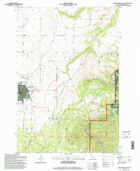 1995 Grangeville East1999 Print · USGSGrangeville and the surrounding Camas Prairie landscape are captured here in the mid-1990s as the town expanded toward the national forest. Researchers can locate the Fairview Cemetery, trace the Dewey Mine, or find the historic County Farm and Mount Idaho.
 - 1995 Map of Grangeville West, 1999 Print
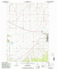 1995 Grangeville West1999 Print · USGSThe Camas Prairie of the mid-1990s unfolds around Grangeville, showing the intersection of rural agriculture and growing civic infrastructure. Researchers can trace family landmarks along Trueblood Lane, locate the historic waters of Tolo Lake, or study the layout of the County Airport.
 - 2010 Map of Grangeville West, 2010 Print
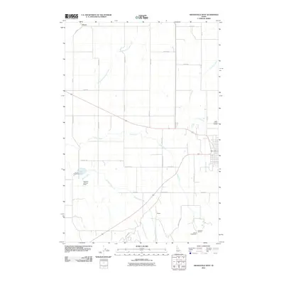 2010 Grangeville West2010 Print · USGSThe Camas Prairie of Idaho County is captured here in the early twenty-first century, showcasing a landscape of high-altitude agriculture and aviation. Researchers can trace land use around Denver and Magger, or locate landmarks like Tolo Lake and the Idaho County Airport.
 - 2011 Map of Grangeville East, 2011 Print
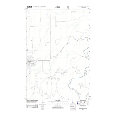 2011 Grangeville East2011 Print · USGSGrangeville and its Idaho County surroundings are documented here just after the first decade of the millennium. Local historians can trace family-named landmarks and historical sites like the Poor Farm, the Dewey Mine, and Fairview Cemetery.
 - 2013 Map of Grangeville West, 2013 Print
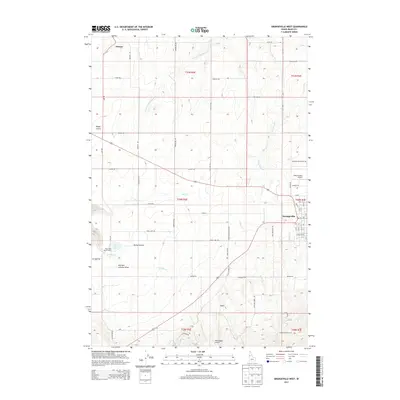 2013 Grangeville West2013 Print · USGSGrangeville and the surrounding Idaho County highlands are captured here in the early twenty-first century, showing a landscape defined by ranching and rural aviation. Researchers can trace the section-line roads and water features like Tolo Lake, the Idaho County Airport, and the small community of Denver.
 - 2013 Map of Grangeville East, 2013 Print
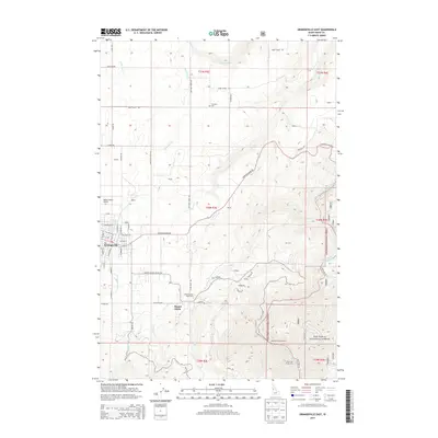 2013 Grangeville East2013 Print · USGSGrangeville and the surrounding Idaho highlands are captured in the early 21st century as the town meets the national forest. Genealogists and historians can locate the Idaho County Poor Farm, trace the path of Harpster Grade Road, and identify sites like Fairview Cemetery.
 - 2017 Map of Grangeville West, 2017 Print
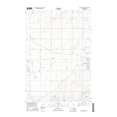 2017 Grangeville West2017 Print · USGSGrangeville and the surrounding Camas Prairie are captured in this recent survey of Idaho County. Researchers can trace the local landscape from the streets of Grangeville to the historic site of Denver, including landmarks like Tolo Lake and the Idaho County Airport.
 - 2017 Map of Grangeville East, 2017 Print
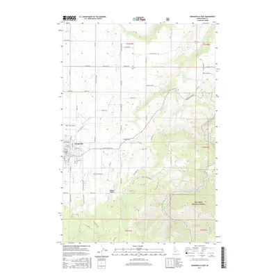 2017 Grangeville East2017 Print · USGSGrangeville and the nearby settlement of Mount Idaho are captured here in the 2010s, showcasing the transition from prairie farmland to deep forest. Researchers can trace historic transit routes like Old Stites Stage Rd and Harpster Grade Rd, or locate the Fairview Cem north of town.
 - 2020 Map of Grangeville West, 2020 Print
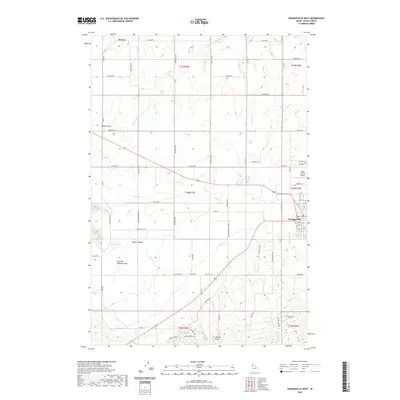 2020 Grangeville West2020 Print · USGSGrangeville and the high prairies of Idaho County appear here in a period of modern agricultural and aviation development. Trace the routes of Old Hwy 7 and Denver Rd past landmarks like Tolo Lake, the Idaho County Airport, and Rocky Canyon.
 - 2020 Map of Grangeville East, 2020 Print
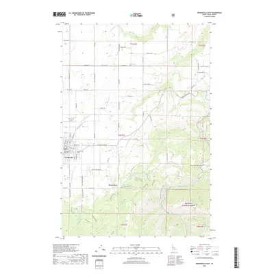 2020 Grangeville East2020 Print · USGSGrangeville and the Camas Prairie appear in modern detail as they transition into the Nez Perce timberlands. Genealogists and local historians can trace family-named routes and landmarks like Fairview Cem, Mount Idaho, and the Idaho County Courthouse.
 - 2024 Map of Grangeville West, 2024 Print
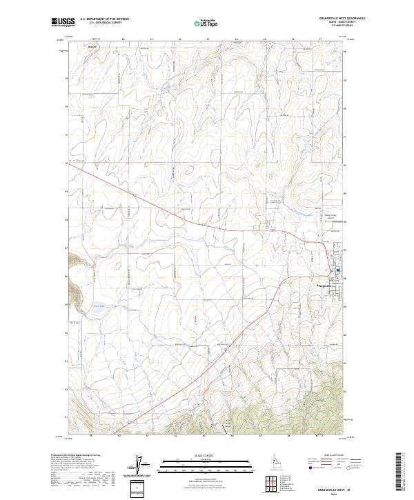 2024 Grangeville West2024 Print · USGSGrangeville and the surrounding Camas Prairie are documented in the early twenty-first century, showing the intersection of town life and high-plateau agriculture. Genealogists and local historians can trace family-named routes and landmarks like Denver, Tolo Lake, and the Idaho County Airport.
 - 2024 Map of Grangeville East, 2024 Print
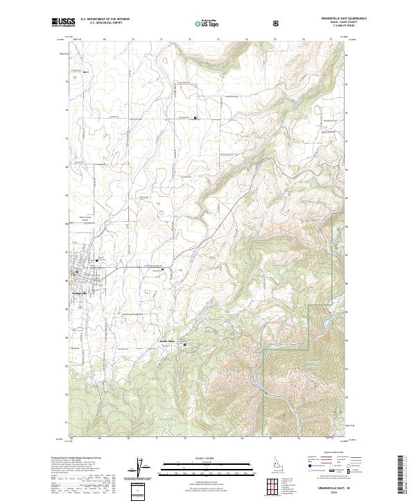 2024 Grangeville East2024 Print · USGSGrangeville and the Camas Prairie region are captured in the early twenty-first century, showing the transition from town to forest. Researchers can trace local heritage through the Mount Idaho Cem, Idaho County Airport, and Mount Idaho settlement.
End of results
Showing maps 1-17 of 17
Top cities near Grangeville
Frequently asked questions
- What are the different types of historical maps available for Grangeville?
- What is the oldest map of Grangeville?
- Where can I purchase historical maps of Grangeville for my home or office?
- Where can I download high-res historical maps of Grangeville?
- Are there historical topographic maps available for Grangeville?
- Is there historical aerial imagery available for Grangeville?
- Where are historical maps of Grangeville sourced from?