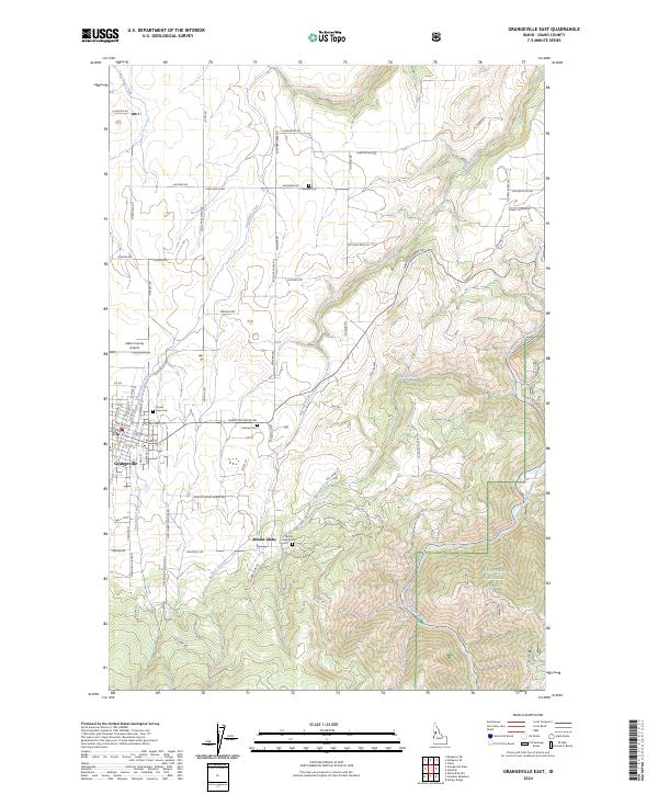
2024 Map of Grangeville East
USGS Topo · Published 2024About this map
Grangeville and the nearby settlement of Mount Idaho anchor this Idaho County survey, illustrating the interface between high-plateau agriculture and the steep canyons of the Nez Perce National Forest. The map documents a high density of rural cemeteries, including Fairview Cem, Prairie View Cem, Hillcrest Cem, and the Mount Idaho Cem, suggesting a long-settled landscape with established family lineages.
Find a feature on this map
83 named features on this map. Tap any name to fly to it.
Don’t see what you’re looking for? This feature index may not catch every label — zoom into the map to look around manually.
Map Details
Editions of this 2024 Grangeville East Map
This is the sole edition of this map. No revisions or reprints were ever made.
Other maps of this area

1924 · Kamiah
USGS Topo · 1:125,000

1924 · Weippe
USGS Topo · 1:125,000

1931 · Buffalo Hump
USGS Topo · 1:125,000

1934 · Buffalo Hump
USGS Topo · 1:125,000

1955 · Pullman
USGS Topo · 1:250,000

1955 · Grangeville
USGS Topo · 1:250,000

1956 · Elk City
USGS Topo · 1:250,000

1956 · Hamilton
USGS Topo · 1:250,000

1958 · Pullman
USGS Topo · 1:250,000

1959 · Grangeville
USGS Topo · 1:250,000