Old Maps of Riggins, Idaho for Hiking & Exploration
Hike through history with 13 historic maps of Riggins. Explore old trails, ghost towns, and forgotten backroads — perfect for outdoor adventurers and local explorers.
- Rediscover forgotten places: Map out old mining camps, roads, and footpaths that no longer exist on modern maps.
- Layer with modern tools: Combine with LiDAR or satellite views to plan hikes through historical terrain.
- Made for exploration: Popular among hikers, overlanders, and local history lovers.
Use these maps to find adventure and explore the hidden past of Riggins.
Riggins, ID maps
(13)- 1938 Map of Riggins
 1938 Riggins1938 Print · USGSRiggins and the canyon of the Salmon River appear here in the late 1930s, showing a landscape defined by mining, ranching, and forest management. Genealogists and historians can trace family-named sites like McMillians Mine, the Black Bear Inn, and the Middle District School.2 unique versions available
 - 1945 Map of Riggins
 1945 Riggins1945 Print · USGSRiggins and the deep river canyons of central Idaho are captured here just before the mid-century, showing the isolated ranching and forest-service life of the era. Researchers can locate remote homesteads and outposts like Hinkley Cabin, the Middle District Sch, and Old Pollock.
 - 1955 Map of Grangeville, 1964 Print
 1955 Grangeville1964 Print · USGSThe high country of the Idaho-Oregon border comes alive in the mid-1950s, showing the deep river canyons and mountain peaks. Trace the Union Pacific RR through the valleys or locate settlements like Grangeville, Joseph, and the shoreline of Wallowa Lake.4 unique versions available
 - 1959 Map of Grangeville
 1959 Grangeville1959 Print · USGSThe high alpine peaks and deep river canyons of the Idaho-Oregon borderlands are captured in the late fifties. Researchers can trace the Union Pacific RR through the valleys to settlements like Enterprise, Union, and Grangeville.2 unique versions available
 - 1964 Map of Riggins, 1965 Print
 1964 Riggins1965 Print · USGSRiggins serves as a vital river-junction hub in the mid-1960s, situated where the major forks of the Salmon meet deep in the canyon. Genealogists and local historians can trace the town's footprint including the Salmon River High Sch, the Salmon River Landing Strip, and named heights like Preacher Mountain.2 unique versions available
 - 1987 Map of Riggins
 1987 Riggins1987 Print · USGSThe Salmon and Snake River canyons defined the Idaho-Oregon borderlands in the 1980s as wilderness recreation and historic mining sites overlapped. Researchers can trace the rugged access to Riggins, find high-altitude camps near Hazard Lake, and locate the Florence Mine or Black Bear Mine.
 - 1995 Map of Riggins, 1999 Print
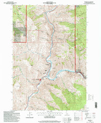 1995 Riggins1999 Print · USGSRiggins and the river canyon country are shown here in the mid-1990s as the town remains centered around the confluence of the Salmon and Little Salmon. Researchers can locate local landmarks like the North Riggins Cemetery, Salmon River High School, and the Idaho State Emergency Airstrip.
 - 2011 Map of Riggins, 2011 Print
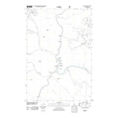 2011 Riggins2011 Print · USGSThe Salmon River canyon comes into focus during the early 21st century at the meeting point of two major waterways. Genealogists and local historians can trace family-named sites and rural hubs like North Riggins Cemetery, Dogtown, and the Circle C Ranch.
 - 2013 Map of Riggins, 2013 Print
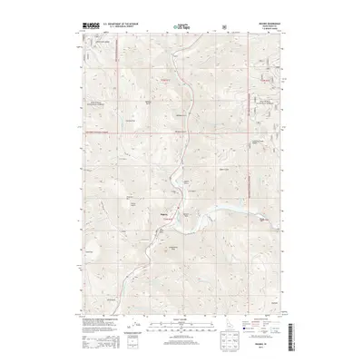 2013 Riggins2013 Print · USGSRiggins and its surrounding national forest terrain are captured here in the early twenty-first century, centered on the Salmon River canyon. Researchers can trace local history through the N Riggins Cem and the small settlements of Aitken and Dogtown.
 - 2017 Map of Riggins, 2017 Print
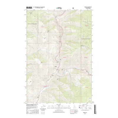 2017 Riggins2017 Print · USGSRiggins and the canyonlands of the Salmon River are captured here in the late twenty-teens, showing the town at its famous river confluence. Genealogists and hikers can locate the North Riggins Cem or trace the steep paths to Schoolmarm Peak and Whiskey Butte.
 - 2020 Map of Riggins, 2020 Print
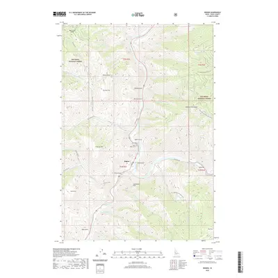 2020 Riggins2020 Print · USGSThe confluence of the Salmon and Little Salmon Rivers dominates this Idaho County landscape in the early twenty-first century. Genealogists and local historians can locate North Riggins Cem and the settlement of Dogtown amidst landmarks like Whiskey Butte and Island Bar.
 - 2023 Map of Riggins, 2023 Print
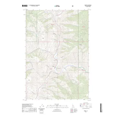 2023 Riggins2023 Print · USGSThe confluence of the Salmon River and Little Salmon River at Riggins is captured in this modern survey. Genealogists and outdoor historians can trace family markers at Riggins Cem and explore named landmarks like Island Bar and Schoolmarm Peak.
 - 2024 Map of Riggins, 2024 Print
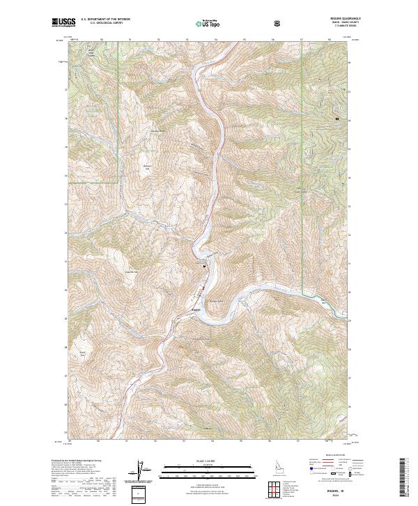 2024 Riggins2024 Print · USGSThe confluence of the Little Salmon and Salmon Rivers comes into sharp focus in this recent survey of Riggins. Trace the layout of the town and its outlying landmarks like Riggins Cem, Schoolmarm Peak, and the riverside benches at Island Bar.
End of results
Showing maps 1-13 of 13
Frequently asked questions
- What are the different types of historical maps available for Riggins?
- What is the oldest map of Riggins?
- Where can I purchase historical maps of Riggins for my home or office?
- Where can I download high-res historical maps of Riggins?
- Are there historical topographic maps available for Riggins?
- Is there historical aerial imagery available for Riggins?
- Where are historical maps of Riggins sourced from?