Old Maps of Village West Mobile Home Park, Jerome for Hiking & Exploration
Hike through history with 10 historic maps of Village West Mobile Home Park. Explore old trails, ghost towns, and forgotten backroads — perfect for outdoor adventurers and local explorers.
- Rediscover forgotten places: Map out old mining camps, roads, and footpaths that no longer exist on modern maps.
- Layer with modern tools: Combine with LiDAR or satellite views to plan hikes through historical terrain.
- Made for exploration: Popular among hikers, overlanders, and local history lovers.
Use these maps to find adventure and explore the hidden past of Village West Mobile Home Park.
Village West Mobile Home Park, Jerome maps
(10)- 1950 Map of Jerome, 1959 Print
 1950 Jerome1959 Print · USGSJerome and the surrounding Magic Valley countryside are shown here at mid-century, defined by a complex network of irrigation ditches and the deep canyon of the Snake River. Genealogists and local historians can locate early landmarks like Appleton School, Sonnickson Butte, and the Jerome town center.2 unique versions available
 - 1950 Map of Jerome, 1959 Print
 1950 Jerome1959 Print · USGSThe Magic Valley agricultural landscape is captured here in the 1950s, showing the early growth of Jerome and Filer along the Union Pacific rail lines. Genealogists and local historians can trace rural schools like Cedar Draw School and landmarks including the IOOF Cem and Northview Grange.2 unique versions available
 - 1955 Map of Twin Falls, 1963 Print
 1955 Twin Falls1963 Print · USGSThe Magic Valley flourished in the mid-1950s as a sophisticated network of irrigation and rail lines connected high-desert outposts. Researchers can trace the engineering of the Milner-Gooding Canal, the remote Murphy Hot Springs, and the Union Pacific rail network.3 unique versions available
 - 1958 Map of Twin Falls
 1958 Twin Falls1958 Print · USGSThe Magic Valley and Snake River Plain are captured here in the late fifties, showcasing a region defined by transformative irrigation projects and desert military ranges. Researchers can trace the Union Pacific rail lines and locate small outlying settlements like Wickahoney, Rogerson, and Hollister.2 unique versions available
 - 1979 Map of Jerome, 1980 Print
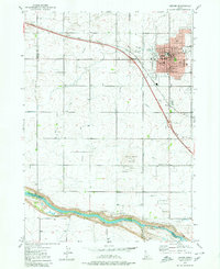 1979 Jerome1980 Print · USGSIdaho’s Magic Valley comes into sharp focus during the late seventies as the city of Jerome expands across its irrigated volcanic plateau. Researchers can trace the legacy of regional water management through the Pacific Ditch or locate historic rural landmarks like Sonnickson Butte and Canyonside School.2 unique versions available
 - 2010 Map of Jerome, 2010 Print
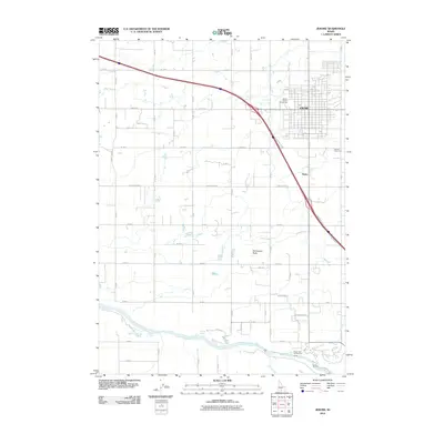 2010 Jerome2010 Print · USGSJerome and the surrounding agricultural tracts are captured here in the early twenty-first century as the region's irrigation-based economy thrives. Researchers can trace the development of the Jerome city grid, the Jerome County Fairgrounds, and rural landmarks like Sonnickson Butte.
 - 2013 Map of Jerome, 2013 Print
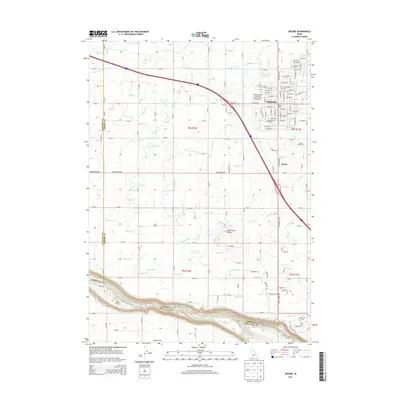 2013 Jerome2013 Print · USGSThe agricultural heart of the Magic Valley is captured here in the early 2010s as it centers on the city of Jerome. Local historians can trace irrigation infrastructure like the S Canal and find landmarks such as the Jerome County Fairgrounds and Ziggy's Airport.
 - 2017 Map of Jerome, 2017 Print
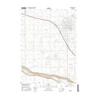 2017 Jerome2017 Print · USGSJerome and the surrounding high desert plains of the Magic Valley are shown here in the 2010s, defined by a massive irrigation network. Genealogists and historians can trace the grid of the city of Jerome or locate rural landmarks like Sonnickson Butte and Ziggy's Airport.
 - 2020 Map of Jerome, 2020 Print
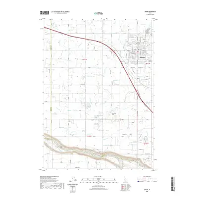 2020 Jerome2020 Print · USGSThe high desert landscape surrounding Jerome is defined by its sophisticated irrigation network as it appeared in 2020. Local researchers can trace the reach of the S Canal and identify landmarks like Sonnickson Butte and Zibby's Airport.
 - 2024 Map of Jerome, 2024 Print
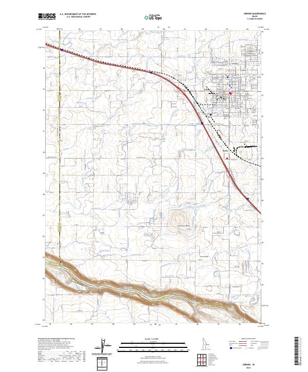 2024 Jerome2024 Print · USGSThe high desert of Southern Idaho comes alive in this contemporary map of the Jerome area and the Snake River canyon. Trace the vital irrigation network through the S Canal and J Canal, or locate family sites at the Jerome Cem.
End of results
Showing maps 1-10 of 10
Frequently asked questions
- What are the different types of historical maps available for Village West Mobile Home Park?
- What is the oldest map of Village West Mobile Home Park?
- Where can I purchase historical maps of Village West Mobile Home Park for my home or office?
- Where can I download high-res historical maps of Village West Mobile Home Park?
- Are there historical topographic maps available for Village West Mobile Home Park?
- Is there historical aerial imagery available for Village West Mobile Home Park?
- Where are historical maps of Village West Mobile Home Park sourced from?