Old Maps of Silver City, Idaho for Genealogy
Trace your family roots with 14 historic maps of Silver City. These high-res maps reveal old neighborhoods, homesites, landmarks, and streets — helping you uncover where your ancestors lived and how the area evolved over time.
- Explore historic neighborhoods: Identify where your relatives may have lived in the 1800s or 1900s.
- Compare maps over time: Trace the changes in streets, buildings, and landmarks for multi-generational research.
- Perfect for genealogy & ancestry research: Used by family historians and researchers to map out lineage and migration.
These maps are an incredible resource for exploring your personal connection to Silver City's past.
Silver City, ID maps
(14)- 1892 Map of Silver City, 1962 Print
 1892 Silver City1962 Print · USGSOwyhee County was a center of industrial silver mining in the 1890s, with high-mountain camps and river crossings defining the local economy. Researchers can trace the layout of mining hubs like Silver City and De Lamar or locate the Warm Springs Ferry along the Snake River.2 unique versions available
 - 1894 Map of Silver City
 1894 Silver City1894 Print · USGSThe Owyhee mining district and Snake River valley were in their industrial prime during the 1890s. Genealogists and historians can trace high-country settlements like Silver City and De Lamar or locate river crossings such as Warm Springs Ferry.
 - 1898 Map of Silver City
 1898 Silver City1898 Print · USGSThe silver-mining heart of Owyhee County is captured here in the late nineteenth century during its industrial peak. Genealogists and historians can trace old mining camps like Silver City and De Lamar, or locate river crossings such as Warm Springs Ferry.3 unique versions available
 - 1955 Map of Boise, 1977 Print
 1955 Boise1977 Print · USGSThe Treasure Valley and Owyhee uplands are shown in detail during the mid-fifties, capturing the region's transition into a major agricultural and urban hub. Researchers can trace the Union Pacific line through Nampa, explore the volcanic Jordan Craters, or locate the historic mining district of Silver City.
 - 1958 Map of Boise
 1958 Boise1958 Print · USGSThe Treasure Valley and Snake River Plain come alive in the mid-fifties as the rail-and-river economy transitions into a modern agricultural hub. Trace the Union Pacific lines through Nampa or locate remote landmarks like Initial Point and the Rockville settlement.2 unique versions available
 - 1962 Map of Boise
 1962 Boise1962 Print · USGSThe Treasure Valley at the start of the sixties reveals a landscape of expanding towns and complex irrigation networks along the Snake River. Genealogists and historians can trace the foundations of modern Idaho through markers like Initial Point, the mining history of Silver City, and the early infrastructure of Lucky Peak Dam.
 - 1965 Map of Silver City, 1968 Print
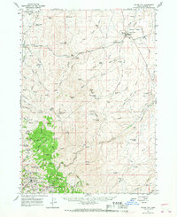 1965 Silver City1968 Print · USGSSilver City and the Owyhee mining districts are captured here in the mid-sixties, mapping a landscape of historic gold and silver claims. Researchers can pinpoint early settlement locations like Ruby City, the Pioneer Cemetery, and numerous mines including the Poorman and Trade Dollar Mine.
 - 1986 Map of Murphy
 1986 Murphy1986 Print · USGSThe Owyhee mining country and Snake River canyon are documented here during the mid-1980s. Researchers can trace the legacy of the silver boom in Silver City, locate Initial Point, or follow the Union Pacific line through Orchard.
 - 1990 Map of Silver City, 1991 Print
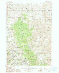 1990 Silver City1991 Print · USGSSilver City and the surrounding Owyhee mining districts are captured here as they appeared in 1990. Researchers can trace the silver-mining legacy through labels for the Poorman Mine, the Pioneer Cemetery, and the site of Ruby City.
 - 2010 Map of Silver City, 2010 Print
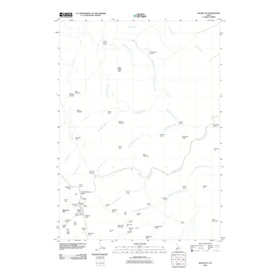 2010 Silver City2010 Print · USGSSilver City and its surrounding mining districts are detailed here during the early twenty-first century. Genealogists and historians can trace old claims and landmarks from Pioneer Cemetery to the Poorman Mine and the Castangetta Halfway House.
 - 2013 Map of Silver City, 2013 Print
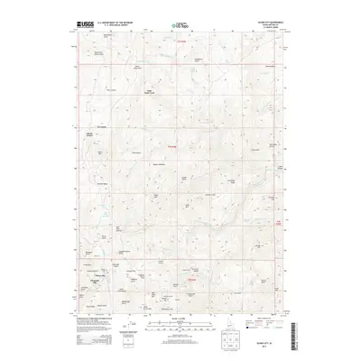 2013 Silver City2013 Print · USGSSilver City and the surrounding Owyhee Mountains are captured here in the early twenty-first century, showing a terrain shaped by over a century of mining. Researchers can trace historic sites like the Cumberland Mill, Ruby City, and the Pioneer Cemetery.
 - 2017 Map of Silver City, 2017 Print
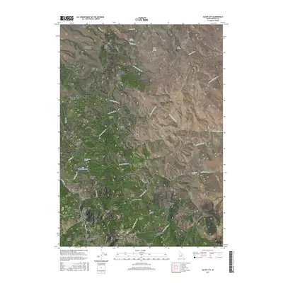 2017 Silver City2017 Print · USGSSilver City remains the focal point of this high-country Owyhee survey, showing the intricate relationship between mining and the mountain landscape. Genealogists and historians can trace the Pioneer Cem and industrial remains like the Sinker Tunnel or Bull Frame Reservoirs.
 - 2020 Map of Silver City, 2020 Print
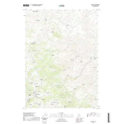 2020 Silver City2020 Print · USGSSilver City and the surrounding Owyhee mountains are captured here in a period of preservation and recreational use. Researchers can trace the layout of the old mining district through landmarks like the Pioneer Cem, Telegraph Hill, and the winding Silver City Rd.
 - 2024 Map of Silver City, 2024 Print
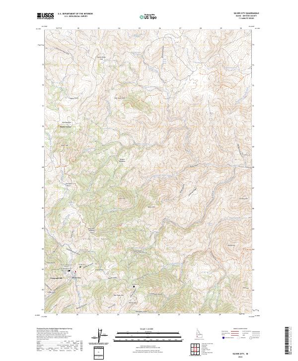 2024 Silver City2024 Print · USGSThe Owyhee Mountains and the mining legacy of Silver City are documented in this contemporary survey. Researchers can trace the layout of the town's early burial grounds at the Pioneer Cem and Silver City Citizens Cem or follow the steep descent of Sinker Canyon.
End of results
Showing maps 1-14 of 14
Top cities near Silver City
Frequently asked questions
- What are the different types of historical maps available for Silver City?
- What is the oldest map of Silver City?
- Where can I purchase historical maps of Silver City for my home or office?
- Where can I download high-res historical maps of Silver City?
- Are there historical topographic maps available for Silver City?
- Is there historical aerial imagery available for Silver City?
- Where are historical maps of Silver City sourced from?