
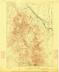
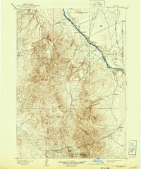
1898 Map of Silver City
USGS Topo · Published 1898About this map
Silver City anchors this 1890s survey of Owyhee County, Boise, and Canyon County, documenting the height of the silver and gold mining boom. The southern portion of the map is dominated by intensive underground operations, with the Black Jack Mine, Trade Dollar Mine, and Poorman Mine clustered around Florida Mt and War Eagle Mt. Nearby company towns like De Lamar, Dewey, and Democrat provide a clear view of the settlement patterns established by the mining industry before the turn of the century.
Find a feature on this map
49 named features on this map. Tap any name to fly to it.
Don’t see what you’re looking for? This feature index may not catch every label — zoom into the map to look around manually.
Map Details
Editions of this 1898 Silver City Map
3 editions found
Other maps of this area

1892 · Boise
USGS Topo · 1:125,000

1892 · Bisuka
USGS Topo · 1:125,000

1892 · Silver City
USGS Topo · 1:125,000

1894 · Bisuka
USGS Topo · 1:125,000

1894 · Silver City
USGS Topo · 1:125,000

1897 · Boise
USGS Topo · 1:125,000

1898 · Nampa
USGS Topo · 1:125,000

1906 · Mitchell Butte
USGS Topo · 1:125,000

1948 · Sinker Butte
USGS Topo · 1:24,000

1949 · Sinker Butte
USGS Topo · 1:24,000