Old Maps of Wardner, Idaho for Hiking & Exploration
Hike through history with 32 historic maps of Wardner. Explore old trails, ghost towns, and forgotten backroads — perfect for outdoor adventurers and local explorers.
- Rediscover forgotten places: Map out old mining camps, roads, and footpaths that no longer exist on modern maps.
- Layer with modern tools: Combine with LiDAR or satellite views to plan hikes through historical terrain.
- Made for exploration: Popular among hikers, overlanders, and local history lovers.
Use these maps to find adventure and explore the hidden past of Wardner.
Wardner, ID maps
(32)- 1901 Map of Coeur D'Alene District, 1954 Print
 1901 Coeur D'Alene District1954 Print · USGSIdaho's Silver Valley hums with industrial activity at the turn of the century as silver and lead mining reach their peak. Genealogists and historians can trace the deep-vein claims of the Bunker Hill and Sullivan Mine or the narrow-canyon settlements of Burke and Mace.
 - 1903 Map of Coeur D'Alene District
 1903 Coeur D'Alene District1903 Print · USGSThe Silver Valley was at its industrial peak at the start of the century, defined by a dense network of silver and lead operations. Genealogists and historians can trace early rail lines and major works like the Standard Mines, Gem Mine, and the town of Wardner.
 - 1906 Map of Coeur D'Alene District
 1906 Coeur D'Alene District1906 Print · USGSIdaho’s Silver Valley is shown at its industrial peak in the early twentieth century, when mines and railroads saturated these steep canyons. Genealogists and researchers can trace the rail lines to remote mining camps and famous works like the Hecla Mine, Bunker Hill and Sullivan Mines, and Burke.3 unique versions available
 - 1909 Map of Cataldo, 1954 Print
 1909 Cataldo1954 Print · USGSShoshone County was at its mining peak during the first decade of the 1900s, defined by the river-and-rail economy of the Idaho Panhandle. Genealogists can trace family roots through the silver and lead districts at Kellogg and Wardner, or find remote landmarks like Magee Ranch and the Old Mission.
 - 1911 Map of Cataldo
 1911 Cataldo1911 Print · USGSThe Idaho Panhandle's mining and timber country is documented here in the early twentieth century, showing the rail-linked settlements of the Coeur d'Alene River valley. Genealogists can trace family sites at Old Mission, Kellogg, and Magee Ranch.2 unique versions available
 - 1955 Map of Spokane, 1965 Print
 1955 Spokane1965 Print · USGSInland Empire life in the fifties and sixties centers on the growth of Spokane and the heavy mining industry of northern Idaho. Trace mid-century landmarks like Fairchild Air Force Base, the Bunker Hill Mine, and early campuses such as Gonzaga University.2 unique versions available
 - 1957 Map of Kellogg, 1959 Print
 1957 Kellogg1959 Print · USGSShoshone County mining towns and mountain ridges are documented here during the late 1950s. Genealogists can trace family roots in Wardner and Pinehurst or locate industrial sites like the Bunker Hill Mine and Page Mine.2 unique versions available
 - 1957 Map of Calder, 1959 Print
 1957 Calder1959 Print · USGSThe St Joe River valley in the late fifties was a remote corridor of rail transport and forest management. Researchers can trace the path of the Chicago Milwaukee St Paul and Pacific railroad through Calder and Herrick, or locate former settlements like Masonia (Site).2 unique versions available
 - 1958 Map of Spokane
 1958 Spokane1958 Print · USGSThe Inland Empire is shown at a mid-century peak of industrial and military activity, from the rail hubs of Spokane to the deep silver mines of northern Idaho. Researchers can trace the sprawling rail lines of the Union Pacific RR or locate landmarks like Fairchild Air Force Base and the Bunker Hill Smelter & Mine.
 - 1981 Map of St Maries
 1981 St Maries1981 Print · USGSThe timber and rail hub of St. Maries is captured here in the early 1980s as the river-and-rail economy defined the Panhandle. Researchers can trace historic transport corridors including the Union Pacific tracks and remote landings along the St Joe River and Chatcolet Lake.2 unique versions available
 - 1985 Map of Kellogg East
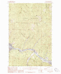 1985 Kellogg East1985 Print · USGSThe Silver Valley corridor in the 1980s reveals a landscape defined by the South Fork Coeur d'Alene River. Researchers can trace industrial sites like the Tailings near Shont and explore the historic layout of Kellogg, Wardner, and Osburn.2 unique versions available
 - 1985 Map of Kellogg West
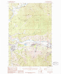 1985 Kellogg West1985 Print · USGSShoshone County mining towns and river valleys are captured here in the mid-1980s as industry shaped the landscape. Researchers can trace the development of Kellogg and Smelterville, or locate specific landmarks like Mc Lead Hill and the Shoshone County Airport.2 unique versions available
 - 1987 Map of Coeur D'Alene
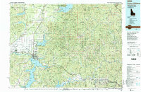 1987 Coeur D'Alene1987 Print · USGSNorthern Idaho in the late eighties shows a landscape of deep-water lakes and heavy industry where the timber and mining economies meet growing valley settlements. Genealogists and historians can trace the footprints of the Sunshine Mine, the rail sidings at Corbin Junction, and the historic Old Mission State Park.3 unique versions available
 - 1988 Map of Masonia
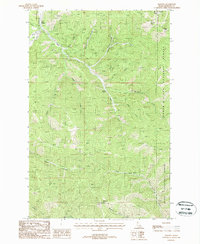 1988 Masonia1988 Print · USGSThe Silver Valley hinterlands of Shoshone County are captured here in the late twentieth century, showing the intersection of heavy industry and national forest land. Genealogists and historians can trace the Masonia settlement site and numerous mountain prospects near Kellogg Peak and Lemonade Peak.
 - 1995 Map of Masonia, 1997 Print
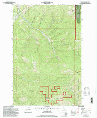 1995 Masonia1997 Print · USGSShoshone County high country is mapped here in the mid-1990s, where mining history meets the deep timber of the national forests. Researchers can trace the remains of industrial sites like the Rhine Shaft and locate forgotten places such as Masonia and Lemonade (Abandoned).
 - 1996 Map of Kellogg West, 1999 Print
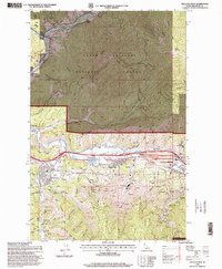 1996 Kellogg West1999 Print · USGSShoshone County at the end of the century reveals the heavy industrial footprint of the Silver Valley. Trace the extensive operations of the Bunker Hill Mine, the legacy of the Antimony Mine, and the development of the Silver Mountain Ski Area.
 - 1996 Map of Kellogg East, 1999 Print
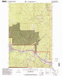 1996 Kellogg East1999 Print · USGSShoshone County silver country is documented here in the 1990s as the mining industry and local communities coexist along the river. Trace family history and industrial sites at the Sunshine Mine Disaster Memorial, Greenwood Cemetery, and the Alhambra Mine.
 - 2011 Map of Masonia, 2011 Print
 2011 Masonia2011 Print · USGSThe high ridges of Idaho's Bitterroot Range are captured here during the early twenty-first century, showing the intersection of mountain recreation and forest management. Researchers can trace the elevation of Silverhorn Ski Area or locate remote points like Lemonade Peak Lookout and Wardner Peak.
 - 2011 Map of Kellogg West, 2011 Print
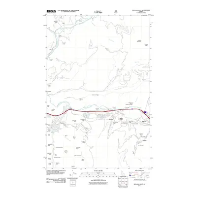 2011 Kellogg West2011 Print · USGSThe Silver Valley industrial corridor comes to life in this survey of the Shoshone County mining heartland. Local historians can trace the massive operations of the Bunker Hill Mine, the historic streets of Wardner, and the rail-side infrastructure at Bradley Siding.
 - 2011 Map of Kellogg East, 2011 Print
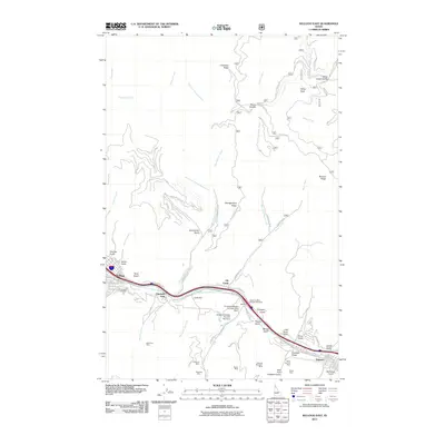 2011 Kellogg East2011 Print · USGSThe Silver Valley is captured here in the early twenty-first century, showcasing a landscape defined by decades of hard-rock mining. Genealogists and historians can locate specific sites like Elizabeth Park and the Sunshine Mine Disaster Memorial, or trace family ties to the Alhambra Mine and Silver Summit Mine.
 - 2014 Map of Masonia, 2014 Print
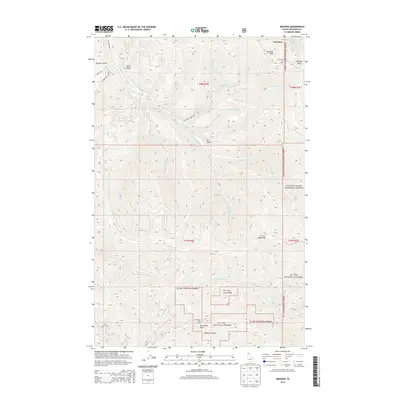 2014 Masonia2014 Print · USGSShoshone County’s high country is captured here during a period of transition between industrial timber and modern mountain recreation. Hikers and historians can trace the steep gulches and ridge lines around Wardner Peak, Silverhorn Ski Area, and the remote Lemonade Peak Lookout.
 - 2014 Map of Kellogg East, 2014 Print
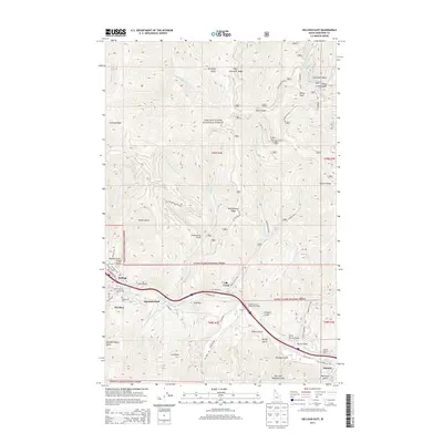 2014 Kellogg East2014 Print · USGSThe Silver Valley corridor comes into focus in the early twenty-first century, showing the tight-knit mining towns of Kellogg and Osburn. Genealogists and local historians can locate Greenwood Cem and the Sunshine Mine Disaster Memorial amidst a landscape of named drainages like Terror Gulch.
 - 2014 Map of Kellogg West, 2014 Print
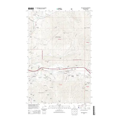 2014 Kellogg West2014 Print · USGSShoshone County’s Silver Valley is documented here in the early twenty-first century, showing the industrial corridor along the South Fork Coeur d'Alene River. Genealogists and historians can trace the streets of Smelterville, Wardner, and Pinehurst alongside landmarks like Bradley Siding.
 - 2017 Map of Masonia, 2017 Print
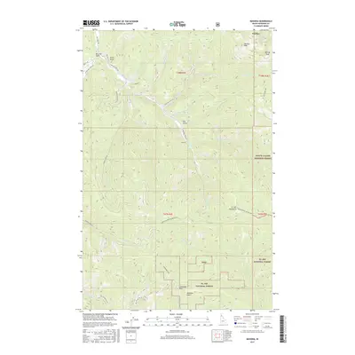 2017 Masonia2017 Print · USGSShoshone County's high ridges and narrow gulches are documented in this recent survey of the Idaho Panhandle's forest lands. Local historians and hikers can trace the paths of the Coeur d'Alene Divide NRT 8 and find landmarks like Lemonade Peak or Deadman Gulch.
 - 2017 Map of Kellogg West, 2017 Print
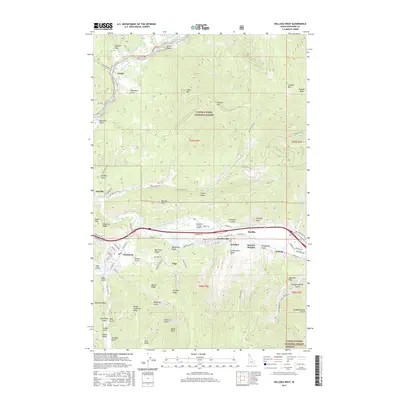 2017 Kellogg West2017 Print · USGSThe Silver Valley corridor comes alive in this survey of the Shoshone County mining district near the turn of the millennium. Genealogists and local historians can trace the developments of Smelterville, Pinehurst, and Wardner alongside landmarks like Government Gulch and McLeod Hill.
Showing maps 1-25 of 32
Top cities near Wardner
- Kellogg historical maps
- Pinehurst historical maps
- Osburn historical maps
- Wallace historical maps
- Smelterville historical maps
Frequently asked questions
- What are the different types of historical maps available for Wardner?
- What is the oldest map of Wardner?
- Where can I purchase historical maps of Wardner for my home or office?
- Where can I download high-res historical maps of Wardner?
- Are there historical topographic maps available for Wardner?
- Is there historical aerial imagery available for Wardner?
- Where are historical maps of Wardner sourced from?