Old Maps of Lima, Illinois for Hiking & Exploration
Hike through history with 19 historic maps of Lima. Explore old trails, ghost towns, and forgotten backroads — perfect for outdoor adventurers and local explorers.
- Rediscover forgotten places: Map out old mining camps, roads, and footpaths that no longer exist on modern maps.
- Layer with modern tools: Combine with LiDAR or satellite views to plan hikes through historical terrain.
- Made for exploration: Popular among hikers, overlanders, and local history lovers.
Use these maps to find adventure and explore the hidden past of Lima.
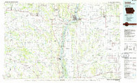
Lima, IL maps
(19)- 1946 Map of Mendon, 1958 Print
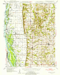 1946 Mendon1958 Print · USGSThe fertile bottomlands of Adams County are seen here in the mid-1940s, as massive drainage projects reshaped the Mississippi River's eastern bank. Genealogists can locate family names and sites through numerous rural landmarks like Wesley Chapel Cem, Gentry Sch, and the Canton Ferry.
 - 1948 Map of Mendon
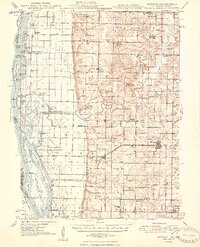 1948 Mendon1948 Print · USGSUpper Adams County in the late 1940s reveals a landscape defined by Mississippi River engineering and tight-knit rural communities. Researchers can trace ancestral locations at New Providence Cem, several dozen one-room schoolhouses like Golden Sch, and the winding Bear Creek drainage.2 unique versions available
 - 1958 Map of Burlington, 1968 Print
 1958 Burlington1968 Print · USGSThe tri-state river country of Iowa, Illinois, and Missouri is captured here in the mid-fifties, dominated by the Mississippi River and major rail lines. Genealogists and historians can trace the development of river towns like Keokuk or locate the sprawling Iowa Army Ammunition Plant.4 unique versions available
 - 1961 Map of Burlington
 1961 Burlington1961 Print · USGSThe tri-state borderlands along the Mississippi River are captured here during the late fifties and early sixties, showing the vital river-and-rail economy of Iowa, Illinois, and Missouri. Genealogists and historians can trace the development of major hubs like Galesburg and Macomb alongside landmark sites such as the Iowa Ordnance Plant and the historic river town of Nauvoo.
 - 1963 Map of Burlington
 1963 Burlington1963 Print · USGSThe tri-state river country of the Mississippi and Illinois valleys comes alive in this mid-century survey. Genealogists and historians can trace the industrial and academic growth of the region, from the Iowa Ordnance Plant to campuses like Knox College and Western Illinois University.
 - 1981 Map of Tioga
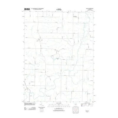
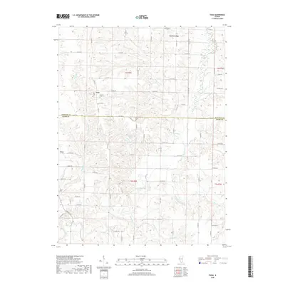
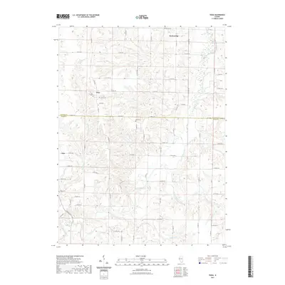
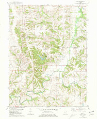 1981 Tioga1981 Print · USGSWestern Illinois farm country at the start of the eighties shows a landscape of deep creek valleys and quiet rural crossroads. Genealogists can trace family names at Bethany Cem and Higgins Cem or locate the site of Camp Saukenauk.
 - 1981 Map of Lima
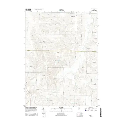
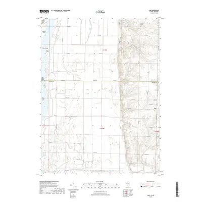
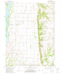 1981 Lima1981 Print · USGSThe Mississippi River floodplain and upland bluffs of Adams County are captured here in the early 1980s. Local researchers can locate family burial sites at Fletcher Cem and Gallimore Cem or trace river geography near Buzzard Island.
 - 1986 Map of Keokuk
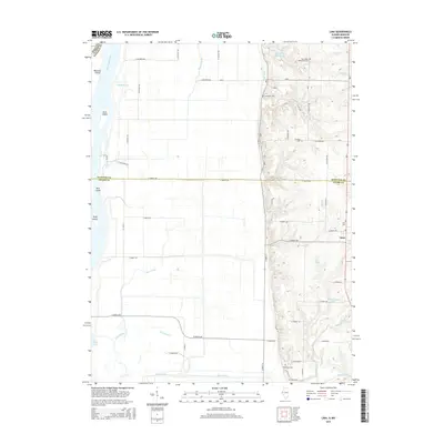
 1986 Keokuk1986 Print · USGSThe tri-state junction of Iowa, Illinois, and Missouri comes alive in the mid-eighties as a hub of river commerce and rail transit. Researchers can trace family roots through Moss Ridge Cemetery or study industrial landmarks like the Keokuk Dam and Lock and Dam No 19.2 unique versions available
 - 1990 Map of Burlington
 1990 Burlington1990 Print · USGSThe tri-state confluence of Iowa, Illinois, and Missouri is mapped here at the end of the twentieth century. Genealogists and historians can trace the riverfront heritage of Burlington, Keokuk, and Fort Madison, or locate sites like the Battle of Athens State Historic Site.2 unique versions available
 - 2012 Map of Tioga, 2012 Print
 2012 Tioga2012 Print · USGSCovers Lima, including Tioga, Breckenridge, and other nearby areas
 - 2012 Map of Lima, 2012 Print
 2012 Lima2012 Print · USGSCovers Lima, including Adams County, Hancock County, and other nearby areas
 - 2015 Map of Tioga, 2015 Print
 2015 Tioga2015 Print · USGSCovers Lima, including Tioga, Breckenridge, and other nearby areas
 - 2015 Map of Lima, 2015 Print
 2015 Lima2015 Print · USGSCovers Lima, including Adams County, Hancock County, and other nearby areas
 - 2018 Map of Lima, 2018 Print
 2018 Lima2018 Print · USGSCovers Lima, including Adams County, Hancock County, and other nearby areas
 - 2018 Map of Tioga, 2018 Print
 2018 Tioga2018 Print · USGSCovers Lima, including Tioga, Breckenridge, and other nearby areas
 - 2021 Map of Tioga, 2021 Print
 2021 Tioga2021 Print · USGSCovers Lima, including Tioga, Breckenridge, and other nearby areas
 - 2021 Map of Lima, 2021 Print
 2021 Lima2021 Print · USGSCovers Lima, including Adams County, Hancock County, and other nearby areas
 - 2024 Map of Tioga, 2024 Print
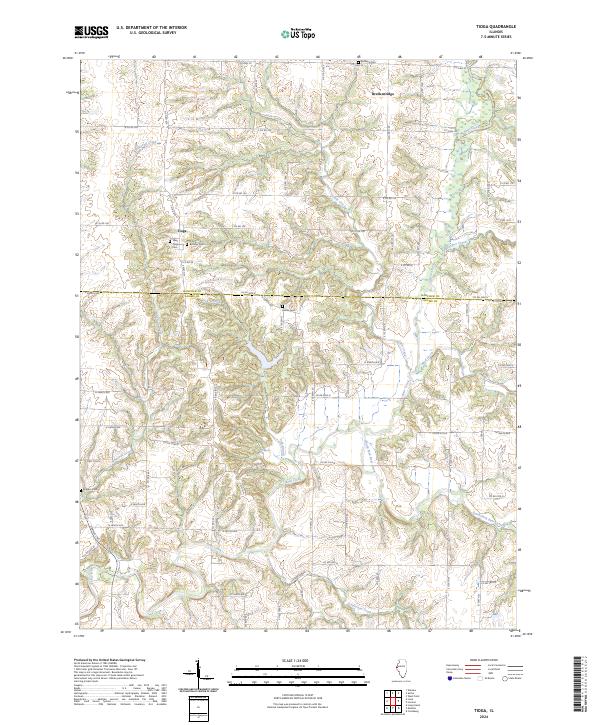 2024 Tioga2024 Print · USGSThe rural borderlands of Adams and Hancock Counties are captured here as they appeared recently, centered on the historic settlement of Tioga. Genealogists and local historians can locate several scattered burial sites like West Tioga Cem and Buckeye Cem along the winding banks of Bear Creek.
 - 2024 Map of Lima, 2024 Print
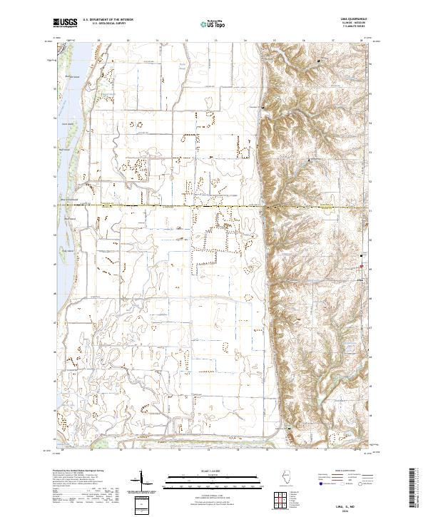 2024 Lima2024 Print · USGSWestern Illinois bottomlands meet the bluffs at the Adams and Hancock County line in this recent study of the river landscape. Researchers can locate family sites at Lima Cem and Fletcher Cem or trace the drainage of Lima Slough into the Mississippi River.
End of results
Showing maps 1-19 of 19
Top cities near Lima
- Quincy historical maps
- Keokuk historical maps
- Hamilton historical maps
- Canton historical maps
- Warsaw historical maps
- La Grange historical maps
See more
Frequently asked questions
- What are the different types of historical maps available for Lima?
- What is the oldest map of Lima?
- Where can I purchase historical maps of Lima for my home or office?
- Where can I download high-res historical maps of Lima?
- Are there historical topographic maps available for Lima?
- Is there historical aerial imagery available for Lima?
- Where are historical maps of Lima sourced from?