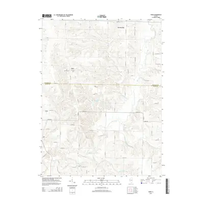
2015 Map of Tioga
USGS Topo · Published 2015About this map
Tioga and Breckenridge anchor this landscape along the border of Hancock and Adams Counties, where the terrain is defined by a dense network of drainage systems. The area is heavily dissected by Bear Creek and its many tributaries, including South Fork Bear Cr and S Fork Bear Cr, which create a complex pattern of ridges and valleys. This hydrology once dictated the placement of early settlements and rural cemeteries that remain preserved in the modern landscape.
Find a feature on this map
54 named features on this map. Tap any name to fly to it.
Don’t see what you’re looking for? This feature index may not catch every label — zoom into the map to look around manually.
Map Details
Editions of this 2015 Tioga Map
This is the sole edition of this map. No revisions or reprints were ever made.
Other maps of this area
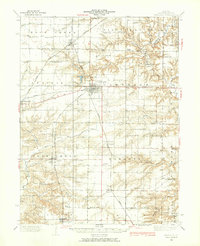
1933 · Carthage
USGS Topo · 1:62,500
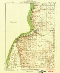
1936 · Keokuk
USGS Topo · 1:62,500
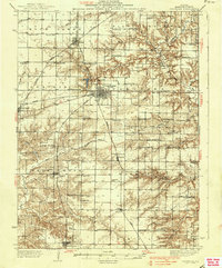
1937 · Carthage
USGS Topo · 1:62,500
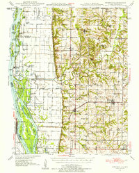
1946 · Mendon
USGS Topo · 1:62,500
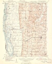
1948 · Mendon
USGS Topo · 1:62,500
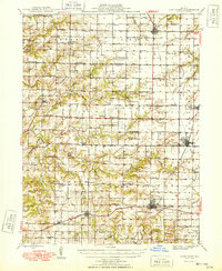
1948 · Camp Point
USGS Topo · 1:62,500
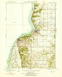
1950 · Keokuk
USGS Topo · 1:62,500
1958 · Burlington
USGS Topo · 1:250,000
1961 · Burlington
USGS Topo · 1:250,000
1963 · Burlington
USGS Topo · 1:250,000