Loading...
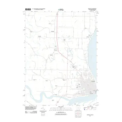
Loading map...1950 Map of Keokuk
USGS Topo · Published 1954About this map
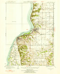
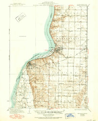
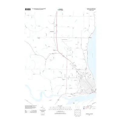
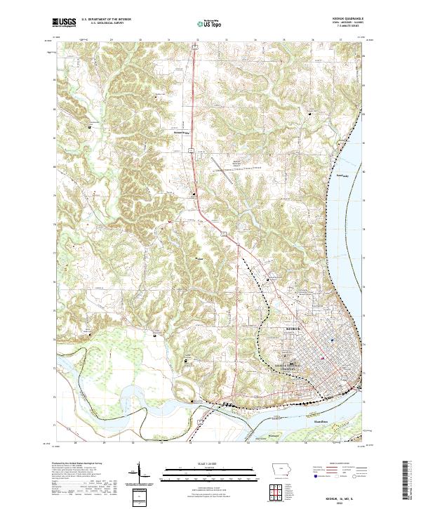
The Mississippi River and the massive Keokuk Dam define this riverine landscape at the junction of Iowa, Illinois, and Missouri. This 1950 revision illustrates the significant impact of the dam on the upper river, creating the expansive Keokuk Lake and altering the character of the shoreline. Along the Illinois side, a dense network of country schools serves the rural townships, including distinctively named sites like White Brick Sch, Froggy Sch, and Golden Point Sch.
Find a feature on this map
71 named features on this map. Tap any name to fly to it.
Don’t see what you’re looking for? This feature index may not catch every label — zoom into the map to look around manually.
Map Details
Date Portrayed1950
Date Published1954
PublisherU.S. Geological Survey
Map TypeTopographic
Scale1:62,500
Physical Dimensions16.9 x 20.8 inches
Editions of this 1950 Keokuk Map
This is the sole edition of this map. No revisions or reprints were ever made.
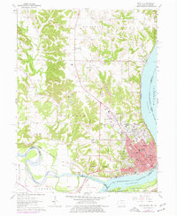
Historical Maps of Keokuk Through Time
9 maps found

Featured Locations
Source Details
SourceU.S. Geological Survey
CopyrightPublic Domain