Old Maps of Brighton, Illinois for Hiking & Exploration
Hike through history with 17 historic maps of Brighton. Explore old trails, ghost towns, and forgotten backroads — perfect for outdoor adventurers and local explorers.
- Rediscover forgotten places: Map out old mining camps, roads, and footpaths that no longer exist on modern maps.
- Layer with modern tools: Combine with LiDAR or satellite views to plan hikes through historical terrain.
- Made for exploration: Popular among hikers, overlanders, and local history lovers.
Use these maps to find adventure and explore the hidden past of Brighton.
Brighton, IL maps
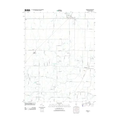
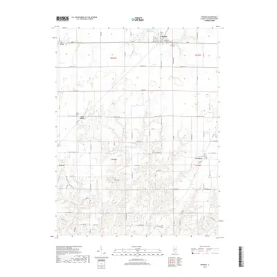
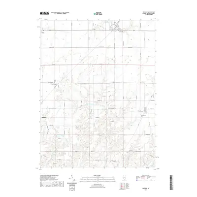
(17)- 1925 Map of Brighton, 1958 Print
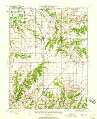 1925 Brighton1958 Print · USGSSouthwestern Illinois was a bustling rail-and-farm corridor in the mid-1920s, characterized by numerous small settlements and village schoolhouses. Researchers can trace the vanished rural infrastructure of Medora, Piasa, and Woodburn, alongside over twenty named country schools like Brush College School.2 unique versions available
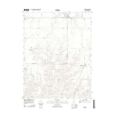
 - 1928 Map of Brighton
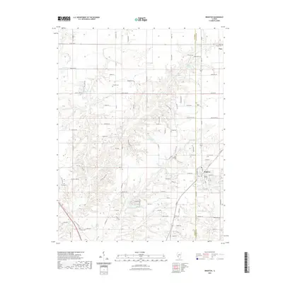
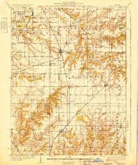 1928 Brighton1928 Print · USGSSouthwestern Illinois was a bustling network of rail-side towns and country school districts in the mid-1920s. Researchers can locate nearly thirty local schools including Brush College School and Washington School, or trace the tracks of the Chicago and Alton through Shipman and Brighton.2 unique versions available
 - 1948 Map of Quincy
 1948 Quincy1948 Print · USGSThe Mississippi and Illinois River valleys are captured at a post-war crossroads as rail and river travel met the expanding highway system. Genealogists can trace family settlements from Quincy to Hannibal and smaller towns like Vandalia and Jerseyville.2 unique versions available
 - 1956 Map of Quincy, 1967 Print
 1956 Quincy1967 Print · USGSThe river and rail corridors of the Illinois-Missouri border are documented here during the mid-1950s. Researchers can trace historic river landings and regional transit hubs from Quincy and Hannibal to smaller settlements like Meredosia and Roodhouse.3 unique versions available
 - 1983 Map of Brighton, 1984 Print
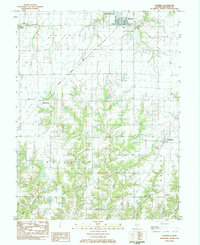
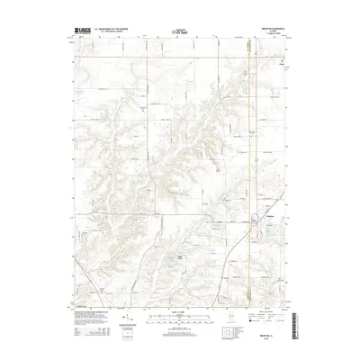
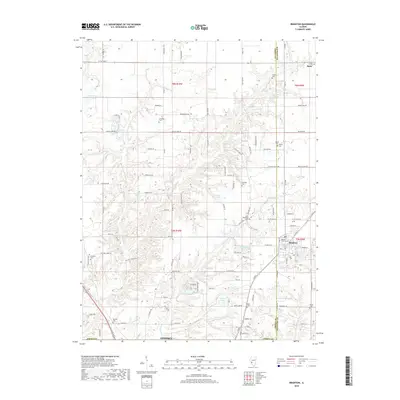
 1983 Brighton1984 Print · USGSBrighton and the surrounding Illinois prairie are captured in the early 1980s as the regional landscape balanced its agricultural roots with suburban growth. Genealogists can locate several family burial sites like Tribble Cem and Asbury Cem, or trace the street-level details of Brighton near Betsy Ann Park.
 - 1983 Map of Shipman, 1984 Print
 1983 Shipman1984 Print · USGSShipman and the surrounding Macoupin County townships are shown in the early eighties as the agricultural landscape met the rail lines. Family historians can locate several rural burial sites and churches, including Miles Station Cem, St Denis Cem, and Woodburn Ch.
 - 1985 Map of Jerseyville
 1985 Jerseyville1985 Print · USGSThe confluence of the Illinois and Mississippi rivers defines this 1980s landscape of fertile bottomlands and rail-hub towns. Genealogists and historians can trace the foundations of communities like Jerseyville and White Hall alongside the Oak Grove Cem and St Mary Church.2 unique versions available
 - 2012 Map of Brighton, 2012 Print
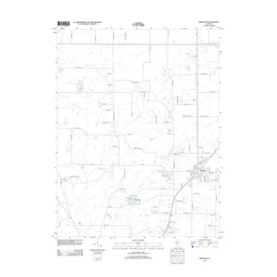 2012 Brighton2012 Print · USGSCovers Brighton, including Godfrey, Lake Piasa, and other nearby areas
 - 2012 Map of Shipman, 2012 Print
 2012 Shipman2012 Print · USGSCovers Brighton, including Shipman, Woodburn, and other nearby areas
 - 2015 Map of Shipman, 2015 Print
 2015 Shipman2015 Print · USGSCovers Brighton, including Shipman, Woodburn, and other nearby areas
 - 2015 Map of Brighton, 2015 Print
 2015 Brighton2015 Print · USGSCovers Brighton, including Godfrey, Lake Piasa, and other nearby areas
 - 2018 Map of Brighton, 2018 Print
 2018 Brighton2018 Print · USGSCovers Brighton, including Godfrey, Lake Piasa, and other nearby areas
 - 2018 Map of Shipman, 2018 Print
 2018 Shipman2018 Print · USGSCovers Brighton, including Shipman, Woodburn, and other nearby areas
 - 2021 Map of Brighton, 2021 Print
 2021 Brighton2021 Print · USGSCovers Brighton, including Godfrey, Lake Piasa, and other nearby areas
 - 2021 Map of Shipman, 2021 Print
 2021 Shipman2021 Print · USGSCovers Brighton, including Shipman, Woodburn, and other nearby areas
 - 2024 Map of Brighton, 2024 Print
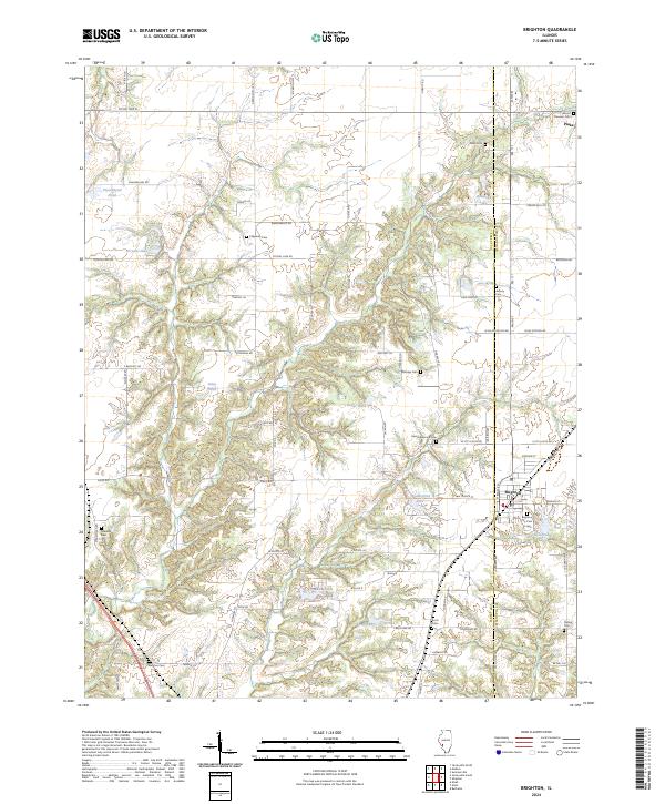 2024 Brighton2024 Print · USGSBrighton and Piasa anchor this modern study of the Jersey and Macoupin county borderlands during the early 2020s. Genealogists can trace family heritage across more than ten local burial sites, including Asbury Cem, Eldridge Cem, and Marston Cem.
 - 2024 Map of Shipman, 2024 Print
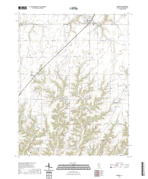 2024 Shipman2024 Print · USGSMacoupin County at the start of the 2020s remains a landscape of prairie agriculture and quiet crossroads. Genealogists can locate several historic burial grounds, including Saint Denis Cemetery and Wood Cemetery, while tracing the waters of Piasa Creek.
End of results
Showing maps 1-17 of 17
Top cities near Brighton
- Florissant historical maps
- Edwardsville historical maps
- Alton historical maps
- Hazelwood historical maps
- Old Jamestown historical maps
- Godfrey historical maps
See more
Frequently asked questions
- What are the different types of historical maps available for Brighton?
- What is the oldest map of Brighton?
- Where can I purchase historical maps of Brighton for my home or office?
- Where can I download high-res historical maps of Brighton?
- Are there historical topographic maps available for Brighton?
- Is there historical aerial imagery available for Brighton?
- Where are historical maps of Brighton sourced from?