Old Maps of Ivesdale, Illinois for Metal Detecting
Plan your next treasure hunt with 12 historic maps of Ivesdale. Find old homesites, ghost towns, trails, and gathering spots that may be lost to time — perfect for identifying promising metal detecting locations.
- Locate forgotten sites: Uncover places like long-lost settlements, abandoned rail lines, or gathering spots.
- Plan better hunts: Use map overlays combined with LiDAR or satellite views to narrow in on historically rich areas.
- Made for detectorists: Thousands of hobbyists use these maps to discover relics, coins, and hidden history.
Use these historic maps to boost your research and find new opportunities beneath the surface of Ivesdale.
Ivesdale, IL maps
(12)- 1950 Map of Tuscola, 1952 Print
 1950 Tuscola1952 Print · USGSMid-century Douglas and Champaign Counties are mapped here at a time when the rural school system was fading into history. Genealogists can trace family roots through numerous markers like Stewart Sch, Macedonia Ch, and Bailey Memorial Cem.4 unique versions available
 - 1958 Map of Decatur, 1971 Print
 1958 Decatur1971 Print · USGSCentral Illinois in the mid-twentieth century shows a landscape defined by industrial rail hubs and the creation of large reservoirs. Researchers can trace historic corridors like the Penn Central or locate landmarks such as Lincoln Log Cabin State Park and Lake Springfield.3 unique versions available
 - 1961 Map of Decatur
 1961 Decatur1961 Print · USGSCentral Illinois in the late fifties was a bustling corridor of rail lines and prairie commerce centered on the state capital. Genealogists and historians can trace the intricate connections between Springfield, Decatur, and dozens of smaller settlements like Nokomis and Arcola.2 unique versions available
 - 1975 Map of Tuscola NW, 1977 Print
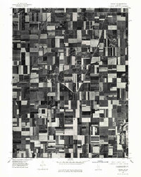 1975 Tuscola NW1977 Print · USGSMid-1970s agricultural patterns and rural settlements are revealed in this aerial survey of the Illinois prairie. Genealogists and land historians can trace property lines and farmstead locations surrounding Ivesdale and the banks of the Kaskaskia River.
 - 1983 Map of Ivesdale
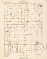
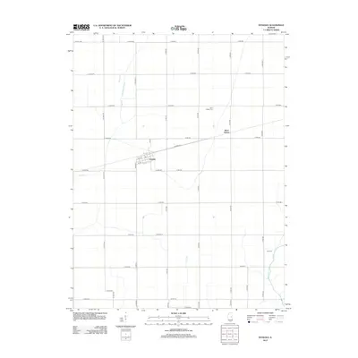
 1983 Ivesdale1983 Print · USGSThe village of Ivesdale straddles the county line in the early 1980s, serving as a focal point for the surrounding prairie farmland. Researchers can trace the path of the Norfolk and Western railroad and locate rural landmarks like St Joseph Cem and Sloan Station.
 - 1985 Map of Decatur
 1985 Decatur1985 Print · USGSCentral Illinois farming and rail hubs thrive in the mid-1980s as Decatur anchors a sprawling network of track and timber. Trace the paths of the Sangamon River and the Illinois Central Gulf RR through old towns like Cerro Gordo and Bement.2 unique versions available
 - 1998 Map of Ivesdale, 2003 Print
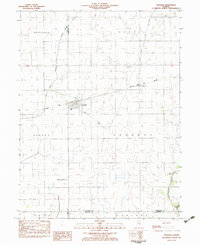
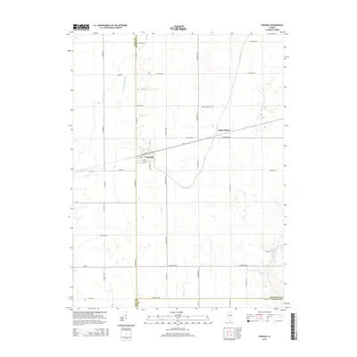
 1998 Ivesdale2003 Print · USGSIvesdale and the surrounding prairie townships appear in detail during the late nineties as the region's agricultural and drainage networks matured. Researchers can locate family burial sites at St Joseph Cem and Rice Cem or trace the early aviation footprint of the Kirwan Landing Strip.
 - 2012 Map of Ivesdale, 2012 Print
 2012 Ivesdale2012 Print · USGSCovers Ivesdale, including Sloan Station, Champaign County, and other nearby areas
 - 2015 Map of Ivesdale, 2015 Print
 2015 Ivesdale2015 Print · USGSCovers Ivesdale, including Sloan Station, Champaign County, and other nearby areas
 - 2018 Map of Ivesdale, 2018 Print
 2018 Ivesdale2018 Print · USGSCovers Ivesdale, including Sloan Station, Champaign County, and other nearby areas
 - 2021 Map of Ivesdale, 2021 Print
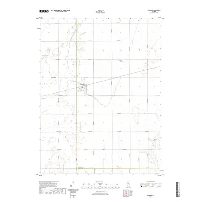 2021 Ivesdale2021 Print · USGSCovers Ivesdale, including Sloan Station, Champaign County, and other nearby areas
 - 2024 Map of Ivesdale, 2024 Print
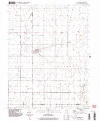
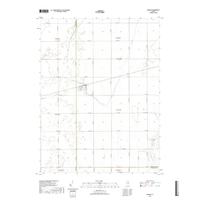
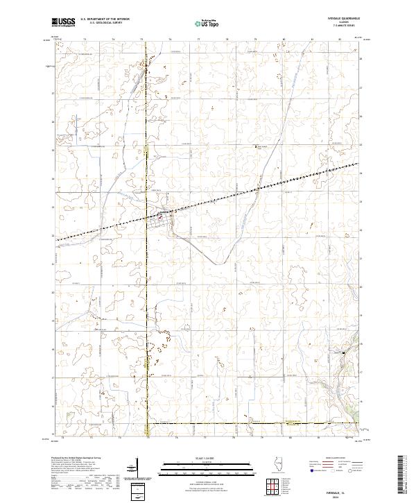 2024 Ivesdale2024 Print · USGSIvesdale stands at the meeting point of Piatt and Champaign counties during the early twenty-first century, surrounded by a productive landscape of well-ordered farmsteads. Researchers can trace the drainage networks of the Kaskaskia River and Lake Fork or locate family sites near Saint Joseph Cem.
End of results
Showing maps 1-12 of 12
Top cities near Ivesdale
- Champaign historical maps
- Urbana historical maps
- Mahomet historical maps
- Monticello historical maps
- Savoy historical maps
- Tuscola historical maps
See more
Frequently asked questions
- What are the different types of historical maps available for Ivesdale?
- What is the oldest map of Ivesdale?
- Where can I purchase historical maps of Ivesdale for my home or office?
- Where can I download high-res historical maps of Ivesdale?
- Are there historical topographic maps available for Ivesdale?
- Is there historical aerial imagery available for Ivesdale?
- Where are historical maps of Ivesdale sourced from?