Old Maps of Taylorville, Illinois for Metal Detecting
Plan your next treasure hunt with 37 historic maps of Taylorville. Find old homesites, ghost towns, trails, and gathering spots that may be lost to time — perfect for identifying promising metal detecting locations.
- Locate forgotten sites: Uncover places like long-lost settlements, abandoned rail lines, or gathering spots.
- Plan better hunts: Use map overlays combined with LiDAR or satellite views to narrow in on historically rich areas.
- Made for detectorists: Thousands of hobbyists use these maps to discover relics, coins, and hidden history.
Use these historic maps to boost your research and find new opportunities beneath the surface of Taylorville.
Taylorville, IL maps
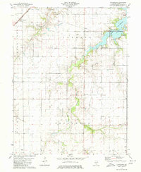
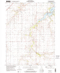
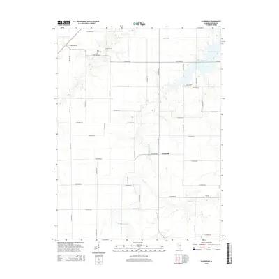
(37)- 1923 Map of Taylorville, 1961 Print
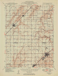
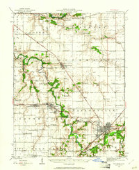 1923 Taylorville1961 Print · USGSChristian County's rail-and-river landscape comes alive in the early twenties, showing the region's dense network of rural school districts and coal-country towns. Trace family roots at Brush College, Good Hope Church, or the mining-related tracks of the Chicago and Illinois Midland.2 unique versions available
 - 1925 Map of Taylorville
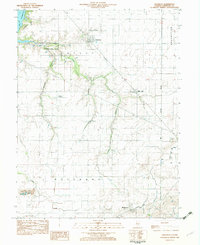
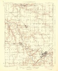 1925 Taylorville1925 Print · USGSTaylorville and its surrounding coal-and-corn country are captured here in the mid-twenties. Genealogists can trace family roots through dozens of rural landmarks like Brush College, the rail stop at Humphrey Sta, and the mining communities of Jeisyville and Bulpitt.2 unique versions available
 - 1946 Map of Nokomis, 1965 Print
 1946 Nokomis1965 Print · USGSThe Illinois prairie south of Taylorville reached its industrial and agricultural peak just after World War II. Genealogists can trace family names across dozens of rural sites, including Mound Chapel, D'Arcy Sch, and the mining corridor near Coalton.2 unique versions available
 - 1947 Map of Pana
 1947 Pana1947 Print · USGSRailroad lines from three major carriers converge at Pana in the mid-1940s, serving a productive agricultural landscape across three counties. Researchers can locate dozens of country schools and churches, including Swamp Angel School, Sacred Heart Cem, and Owaneco.
 - 1949 Map of Nokomis
 1949 Nokomis1949 Print · USGSCentral Illinois rail and agricultural life are captured here in the late 1940s, showing the intricate network of country schools and family cemeteries. Genealogists can locate family sites near St Maurice Cem or trace the many local schoolhouses like Mound Sch and Prosperity Sch.2 unique versions available
 - 1949 Map of Pana
 1949 Pana1949 Print · USGSCentral Illinois rail traffic peaked in the late 1940s as five major lines converged at the hub of Pana. Researchers can trace the rural school system and family burial grounds such as Durbin College Sch and Mound Cem.2 unique versions available
 - 1952 Map of Assumption, 1953 Print
 1952 Assumption1953 Print · USGSChristian and Macon counties are seen here in the early fifties, a time when rail lines like the Wabash and Illinois Central still connected small farming towns. Researchers can locate early family burial grounds such as Adams Cem or trace the development of the Mc Coy Airport.2 unique versions available
 - 1958 Map of Decatur, 1971 Print
 1958 Decatur1971 Print · USGSCentral Illinois in the mid-twentieth century shows a landscape defined by industrial rail hubs and the creation of large reservoirs. Researchers can trace historic corridors like the Penn Central or locate landmarks such as Lincoln Log Cabin State Park and Lake Springfield.3 unique versions available
 - 1961 Map of Decatur
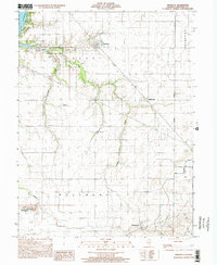
 1961 Decatur1961 Print · USGSCentral Illinois in the late fifties was a bustling corridor of rail lines and prairie commerce centered on the state capital. Genealogists and historians can trace the intricate connections between Springfield, Decatur, and dozens of smaller settlements like Nokomis and Arcola.2 unique versions available
 - 1974 Map of Willeys, 1991 Print
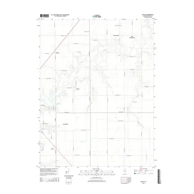
 1974 Willeys1991 Print · USGSChristian County's agricultural heartland is captured here in the mid-1970s, showcasing the rural rail networks and prairie watercourses. Genealogists and historians can trace the tracks of the Norfolk and Western and Baltimore and Ohio near Old Stonington and Willeys.
 - 1979 Map of Clarksdale, 1980 Print
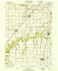
 1979 Clarksdale1980 Print · USGSChristian County farmland meets the waters of the Sangamon River during the late seventies. Researchers can trace the Norfolk and Western rail line through Clarksdale or locate family sites at Brush Creek Cem and Providence Ch.2 unique versions available
 - 1982 Map of Litchfield
 1982 Litchfield1982 Print · USGSThe coal and rail corridors of Central Illinois are captured here in the early eighties as the region balanced industrial mining with its agricultural roots. Researchers can trace family history through sites like Zelmer Memorial Cemetery or the grounds of Blackburn College and the Crown Mine No 1.
 - 1982 Map of Owaneco
 1982 Owaneco1982 Print · USGSChristian County agricultural life in the early eighties is captured here, centered on the village of Owaneco. Genealogists can locate family sites at Durbin Cem or Buckeye Cem while tracing the Baltimore and Ohio rail lines.
 - 1982 Map of Taylorville, 1983 Print
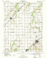
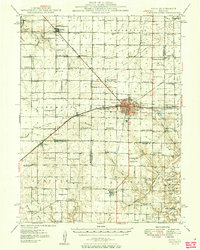
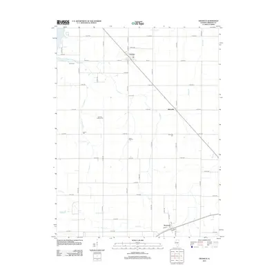
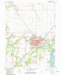 1982 Taylorville1983 Print · USGSTaylorville and its surrounding townships show a mature landscape of rail corridors and river confluences in the early eighties. Genealogists and local researchers can trace family landmarks like Oak Hill Cemetery, find the old Drive-in Theater, or locate the St. Vincent Hospital campus.
 - 1985 Map of Springfield
 1985 Springfield1985 Print · USGSCentral Illinois during the mid-eighties shows a landscape of growing state capital influence and deep historical roots. Genealogists and historians can trace family sites near Oak Ridge Cem or follow the path of the Sangamon River past Williamsville and Riverton.2 unique versions available
 - 1998 Map of Owaneco, 2002 Print
 1998 Owaneco2002 Print · USGSChristian County at the turn of the millennium shows a landscape of established rail towns and quiet rural townships. Genealogists and local historians can trace family roots through sites like Durbin Cem, the village of Owaneco, and the Baltimore and Ohio rail line.
 - 1998 Map of Clarksdale, 2002 Print
 1998 Clarksdale2002 Print · USGSAgricultural Christian County enters the late nineties as the waters of Lake Taylorville reshape the eastern landscape. Trace family roots at Anderson Cem and Vanderville or locate rural hubs like Providence Ch.
 - 2012 Map of Clarksdale, 2012 Print
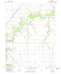
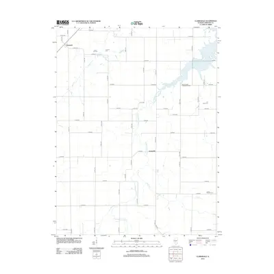 2012 Clarksdale2012 Print · USGSCovers Taylorville, including Clarksdale, Vanderville, and other nearby areas
 - 2012 Map of Willeys, 2012 Print
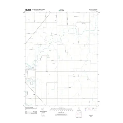 2012 Willeys2012 Print · USGSCovers Taylorville, including Velma, Old Stonington, and other nearby areas
 - 2012 Map of Taylorville, 2012 Print
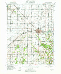
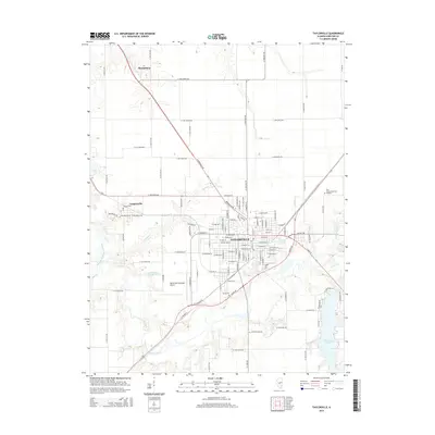
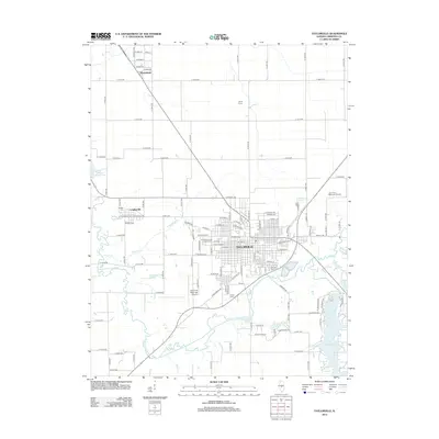 2012 Taylorville2012 Print · USGSCovers Taylorville, including Langleyville, Sharpsburg, and other nearby areas
 - 2012 Map of Owaneco, 2012 Print
 2012 Owaneco2012 Print · USGSCovers Taylorville, including Rosamond, Owaneco, and other nearby areas
 - 2015 Map of Taylorville, 2015 Print
 2015 Taylorville2015 Print · USGSCovers Taylorville, including Langleyville, Sharpsburg, and other nearby areas
 - 2015 Map of Owaneco, 2015 Print
 2015 Owaneco2015 Print · USGSCovers Taylorville, including Rosamond, Owaneco, and other nearby areas
 - 2015 Map of Willeys, 2015 Print
 2015 Willeys2015 Print · USGSCovers Taylorville, including Velma, Old Stonington, and other nearby areas
 - 2015 Map of Clarksdale, 2015 Print
 2015 Clarksdale2015 Print · USGSCovers Taylorville, including Clarksdale, Vanderville, and other nearby areas
Showing maps 1-25 of 37
Top cities near Taylorville
- Pana historical maps
- Nokomis historical maps
- Moweaqua historical maps
- Kincaid historical maps
- Assumption historical maps
- Edinburg historical maps
See more
Frequently asked questions
- What are the different types of historical maps available for Taylorville?
- What is the oldest map of Taylorville?
- Where can I purchase historical maps of Taylorville for my home or office?
- Where can I download high-res historical maps of Taylorville?
- Are there historical topographic maps available for Taylorville?
- Is there historical aerial imagery available for Taylorville?
- Where are historical maps of Taylorville sourced from?