Old Maps of Martinsville, Illinois for Academic Research
Study the evolution of Martinsville with 22 high-resolution historic maps. Whether you're teaching, researching, or modeling changes in land use, these maps provide essential visual documentation of urban, environmental, and geographic change.
- Analyze long-term change: Track patterns in development, transportation, and natural features.
- Ideal for environmental or urban studies: Support academic projects with primary historical map data.
- Use in the classroom or lab: Educators and researchers rely on these maps to bring historical context to life.
These maps are a powerful tool for teaching, research, and visualizing how Martinsville has changed over the decades.
Martinsville, IL maps
(22)- 1936 Map of Casey
 1936 Casey1936 Print · USGSEast-central Illinois comes into focus in the mid-thirties as a hub of rail transport and early energy production. Genealogists can trace family names through dozens of rural sites, from Pikes Peak Ch to the Tank Farm and Oilfield settlement.
 - 1942 Map of Casey, 1965 Print
 1942 Casey1965 Print · USGSEast-central Illinois comes to life in this mid-century survey of the rail and road networks connecting Casey and Martinsville. Genealogists can trace family legacies through numerous landmarks like Enlow Cem, Willis Chapel, and School No 3.2 unique versions available
 - 1943 Map of Casey
 1943 Casey1943 Print · USGSEastern Illinois during the late thirties and early forties reveals a landscape of railroad towns and emerging oil infrastructure. Genealogists and researchers can trace dozens of rural landmarks, from the Abraham Lincoln Sch to the industrial TANK FARM and the Airway Beacon near Martinsville.2 unique versions available
 - 1953 Map of Indianapolis, 1965 Print
 1953 Indianapolis1965 Print · USGSCentral Indiana and the Illinois borderlands are captured in the mid-sixties, showing the growth of Indianapolis and its industrial rail corridors. Genealogists and historians can trace the development of outlying towns like Zionsville or Beech Grove and find landmarks such as Atterbury AAF and Turkey Run State Park.4 unique versions available
 - 1956 Map of Indianapolis
 1956 Indianapolis1956 Print · USGSCentral Indiana in the mid-fifties is captured during a period of industrial growth and military presence. Genealogists and historians can trace the rail networks of the New York Central or locate regional landmarks like Fort Benjamin Harrison and Camp Atterbury.
 - 1957 Map of Indianapolis
 1957 Indianapolis1957 Print · USGSCentral Indiana in the mid-fifties is captured here as a crossroads of major rail lines and nascent federal highways. Genealogists and historians can trace family-named ridges like Poplar Ridge or locate strategic sites like Camp Atterbury and Speedway.2 unique versions available
 - 1962 Map of Indianapolis
 1962 Indianapolis1962 Print · USGSCentral Indiana and the Illinois borderlands are captured here in the early sixties, showing the region's dense rail networks and growing urban centers. Genealogists and historians can locate family-named landmarks and institutions like Crown Hill Cem, Indiana University, and the Indianapolis Motor Speedway.
 - 1984 Map of Casey, 1985 Print
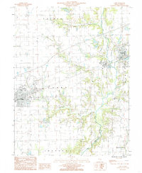 1984 Casey1985 Print · USGSClark County life in the early eighties centers on the prairie corridor between the towns of Casey and Martinsville. Researchers can trace industrial landmarks like the large Quarry and Gravel Pit or locate family roots near the North Fork Embarras River.
 - 1984 Map of Clark Center, 1985 Print
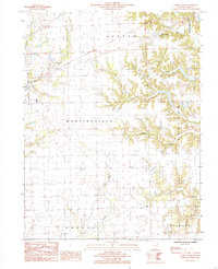 1984 Clark Center1985 Print · USGSMid-1980s Clark County is captured here as a landscape of rural townships and winding creek bottoms. Genealogists and local historians can trace family locations near Clark Center, Auburn, and Weir, or follow the wooded banks of Hurricane Creek.
 - 1986 Map of Terre Haute
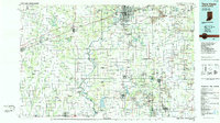 1986 Terre Haute1986 Print · USGSThe Wabash River valley and the coal-rich hills of West-Central Indiana and East-Central Illinois are shown here in the mid-eighties. Genealogists and local historians can trace family-named corners like Barrick Corner, find rural churches like New Hope Ch, and locate industrial landmarks such as the Thunderbird Mine.2 unique versions available
 - 1998 Map of Casey, 2002 Print
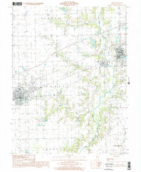 1998 Casey2002 Print · USGSClark County at the close of the twentieth century shows the agricultural heartland around Casey and Martinsville. Genealogists and historians can trace family lands across Parker and Orange townships or locate industrial landmarks like the Quarry.
 - 1998 Map of Clark Center, 2002 Print
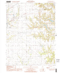 1998 Clark Center2002 Print · USGSThe rural landscape of Clark County at the close of the millennium reveals a quiet network of townships and timbered creek bottoms. Genealogists and local researchers can trace the vicinity of Clark Center, find a remote Cem, and follow the winding courses of Mill Creek or Joes Fork.
 - 2012 Map of Casey, 2012 Print
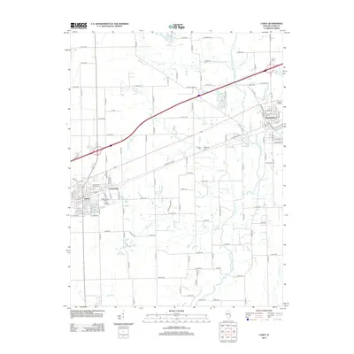 2012 Casey2012 Print · USGSCasey and Martinsville sit at the center of this rural Illinois landscape in the early twenty-first century. Researchers can trace local heritage through numerous burial sites like Washington Cem and landmarks such as Connelly Ford on the N Fork Embarras River.
 - 2012 Map of Clark Center, 2012 Print
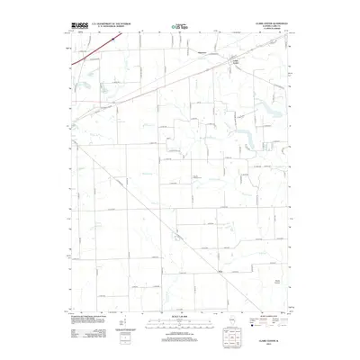 2012 Clark Center2012 Print · USGSClark County in the early twenty-first century remains a landscape of quiet crossroads and winding creeks. Researchers can trace rural lineages at Mount Pleasant Cem or follow the historic path of Old US 40 near Clark Center and Adenmoor.
 - 2015 Map of Clark Center, 2015 Print
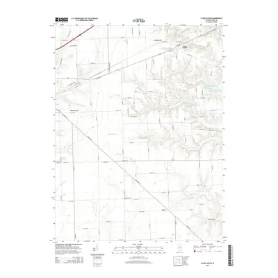 2015 Clark Center2015 Print · USGSMid-century Illinois farmland near Martinsville remains centered on its rural crossroads and family cemeteries. Genealogists can trace early homestead footprints near Island Grove Cem, Auburn Cem, and the small settlement of Adenmoor along the northern creeks.
 - 2015 Map of Casey, 2015 Print
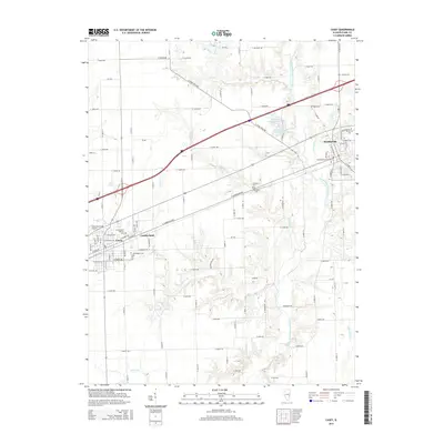 2015 Casey2015 Print · USGSThe Clark County prairie corridor appears in great detail during the mid-2010s, centered on the growing towns of Casey and Martinsville. Genealogists can trace local family lineages through numerous burial sites like Lincoln Cem, Kettering Cem, and Blackburn Cem.
 - 2018 Map of Clark Center, 2018 Print
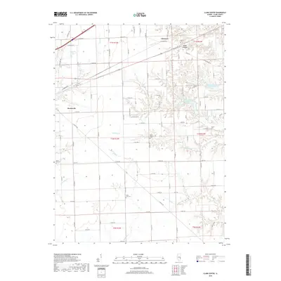 2018 Clark Center2018 Print · USGSClark County's rural landscape is captured here in the late 2010s, showing the agricultural heartland between Martinsville and the smaller hub of Clark Center. Genealogists and local historians can locate several historic burial sites, including Island Grove Cem, Mount Pleasant Cem, and Baird-Barr Cem.
 - 2018 Map of Casey, 2018 Print
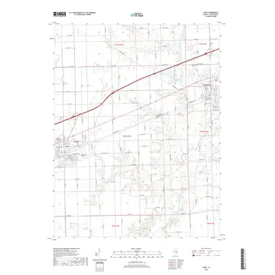 2018 Casey2018 Print · USGSThe Clark County landscape is captured here in the late twenty-tens, centered on the growing communities and rural townships of eastern Illinois. Genealogists can trace family heritage at several historic burial sites, including Martinsville City Cem, Blackburn Cem, and Washington Cem.
 - 2021 Map of Clark Center, 2021 Print
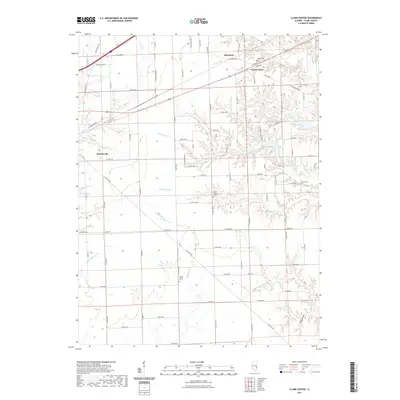 2021 Clark Center2021 Print · USGSThe rural landscape of Clark County is shown in detail here, where agricultural fields meet the winding drainages of Hurricane Cr. Researchers can locate several burial sites like Island Grove Cem and Norton Cem, or trace the path of Old Hwy 40 through Clark Center.
 - 2021 Map of Casey, 2021 Print
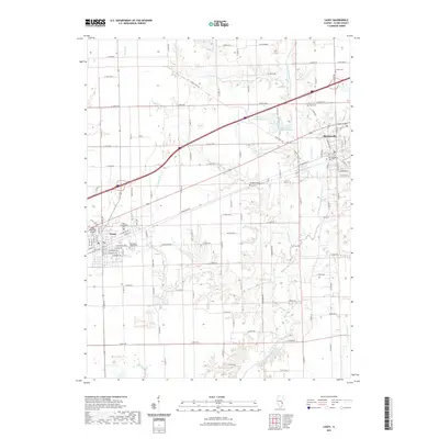 2021 Casey2021 Print · USGSThe Illinois prairie around Casey and Martinsville is meticulously mapped in this contemporary survey of Clark County. Researchers can trace local lineage through numerous documented burial sites like Blackburn Cem and Rupp Cem, or follow the course of the North Fork Embarras River.
 - 2024 Map of Clark Center, 2024 Print
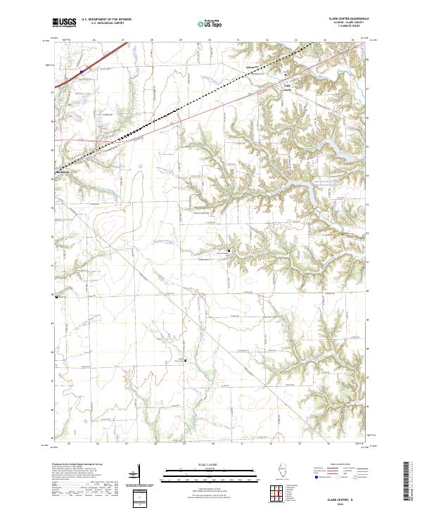 2024 Clark Center2024 Print · USGSThe rural countryside of Clark County is mapped here in its contemporary state, showing a landscape defined by deep creek valleys and agricultural tradition. Genealogists can locate several historic burial sites, including Auburn Cem, Norton Cem, and Island Grove Cem.
 - 2024 Map of Casey, 2024 Print
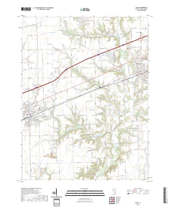 2024 Casey2024 Print · USGSClark County settlement and prairie drainage come into focus in this contemporary look at Casey and Martinsville. Researchers can trace family history through numerous sites like Ridgelawn Cem, Blackburn Cem, and the historic Washington Street Cem.
End of results
Showing maps 1-22 of 22
Top cities near Martinsville
- Casey historical maps
- Marshall historical maps
- Hutton historical maps
- Kansas historical maps
- Ashmore historical maps
- Westfield historical maps
See more
Frequently asked questions
- What are the different types of historical maps available for Martinsville?
- What is the oldest map of Martinsville?
- Where can I purchase historical maps of Martinsville for my home or office?
- Where can I download high-res historical maps of Martinsville?
- Are there historical topographic maps available for Martinsville?
- Is there historical aerial imagery available for Martinsville?
- Where are historical maps of Martinsville sourced from?