Old Maps of Palestine, Illinois for Metal Detecting
Plan your next treasure hunt with 41 historic maps of Palestine. Find old homesites, ghost towns, trails, and gathering spots that may be lost to time — perfect for identifying promising metal detecting locations.
- Locate forgotten sites: Uncover places like long-lost settlements, abandoned rail lines, or gathering spots.
- Plan better hunts: Use map overlays combined with LiDAR or satellite views to narrow in on historically rich areas.
- Made for detectorists: Thousands of hobbyists use these maps to discover relics, coins, and hidden history.
Use these historic maps to boost your research and find new opportunities beneath the surface of Palestine.
Palestine, IL maps
(41)- 1917 Map of Birds
 1917 Birds1917 Print · USGSCrawford and Lawrence counties thrive along the Wabash River at the height of the rail era. Genealogists can trace family roots through dozens of local schools like Hazel Dell School and river landings such as Shaws Landing.2 unique versions available
 - 1942 Map of Birds, 1958 Print
 1942 Birds1958 Print · USGSThe Wabash River valley comes to life in this mid-century survey of the Illinois-Indiana borderlands. Genealogists can locate family lands near Oil Grove or trace ancestors through rural landmarks like Buncombe School and Brightlight Ferry.
 - 1943 Map of Merom
 1943 Merom1943 Print · USGSThe Wabash River bluffs of Sullivan County are documented here during the early years of the war. Researchers can trace family history through several local landmarks like Merom Institute, the Old French Cem, and the river community of Riverton.2 unique versions available
 - 1953 Map of Indianapolis, 1965 Print
 1953 Indianapolis1965 Print · USGSCentral Indiana and the Illinois borderlands are captured in the mid-sixties, showing the growth of Indianapolis and its industrial rail corridors. Genealogists and historians can trace the development of outlying towns like Zionsville or Beech Grove and find landmarks such as Atterbury AAF and Turkey Run State Park.4 unique versions available
 - 1956 Map of Indianapolis
 1956 Indianapolis1956 Print · USGSCentral Indiana in the mid-fifties is captured during a period of industrial growth and military presence. Genealogists and historians can trace the rail networks of the New York Central or locate regional landmarks like Fort Benjamin Harrison and Camp Atterbury.
 - 1956 Map of Vincennes, 1967 Print
 1956 Vincennes1967 Print · USGSSouthern Indiana and the Illinois borderlands are captured here in the mid-fifties, showing the region's dense network of river towns and rail lines. Researchers can trace historic river crossings along the Wabash River or locate landmarks like Wyandotte Cave and Lincoln State Park.4 unique versions available
 - 1957 Map of Indianapolis
 1957 Indianapolis1957 Print · USGSCentral Indiana in the mid-fifties is captured here as a crossroads of major rail lines and nascent federal highways. Genealogists and historians can trace family-named ridges like Poplar Ridge or locate strategic sites like Camp Atterbury and Speedway.2 unique versions available
 - 1957 Map of Vincennes
 1957 Vincennes1957 Print · USGSSouthwest Indiana and the Illinois borderlands come alive in the late 1950s, a period of heavy rail traffic and expanding state forests. Genealogists and historians can trace the riverfronts and rail lines of Vincennes, New Harmony, and the vast Crane Naval Ammunition Depot.
 - 1957 Map of Hutsonville, 1958 Print
 1957 Hutsonville1958 Print · USGSThe Wabash River valley in the late fifties shows a landscape defined by river-and-rail commerce between Illinois and Indiana. Trace family roots at the Merom Institute or locate early landmarks like Dodds Bridge and the Hutsonville Bridge.2 unique versions available
 - 1957 Map of Merom, 1958 Print
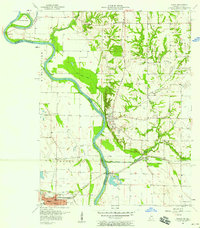 1957 Merom1958 Print · USGSThe Wabash River borderlands of Indiana and Illinois come alive in this mid-century study of the river's winding course. Researchers can locate family landmarks like the Old French Cem, the Merom Institute, and the Hutsonville Bridge (Toll).
 - 1958 Map of Vincennes
 1958 Vincennes1958 Print · USGSSouthern Indiana and the Illinois borderlands are captured during a mid-century period of heavy rail traffic and military activity. Researchers can trace the sprawling bounds of the Crane Naval Ammunition Depot or locate historic settlements like New Harmony and French Lick.2 unique versions available
 - 1962 Map of Indianapolis
 1962 Indianapolis1962 Print · USGSCentral Indiana and the Illinois borderlands are captured here in the early sixties, showing the region's dense rail networks and growing urban centers. Genealogists and historians can locate family-named landmarks and institutions like Crown Hill Cem, Indiana University, and the Indianapolis Motor Speedway.
 - 1964 Map of Flat Rock, 1965 Print
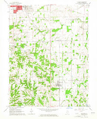 1964 Flat Rock1965 Print · USGSCrawford County's energy and rail landscape comes into focus in the mid-1960s as oil extraction and industry shape the countryside. Researchers can trace dozens of family cemeteries like Ford Cem and old rail stops along the New York Central.
 - 1964 Map of Heathsville, 1965 Print
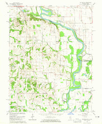 1964 Heathsville1965 Print · USGSThe Illinois-Indiana border along the Wabash River comes into focus in the mid-1960s, showing a landscape defined by river cutoffs and rural settlements. Genealogists can trace family names at Morea Cem, Grace Ch, and the crossroads at Heathsville.3 unique versions available
 - 1966 Map of Merom, 1967 Print
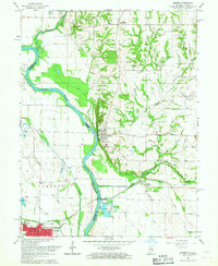 1966 Merom1967 Print · USGSThe Wabash River valley in the mid-1960s reveals a landscape of fertile floodplains and established river towns along the Indiana-Illinois border. Researchers can trace family history through numerous rural landmarks like Big Springs Ch, Mann Cem, and the streets of Palestine.4 unique versions available
 - 1966 Map of Hutsonville, 1967 Print
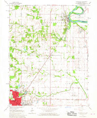 1966 Hutsonville1967 Print · USGSCrawford County and the Wabash River borderlands are shown here in the mid-sixties as the region balanced its agricultural roots with industrial growth. Genealogists and researchers can locate the Indian Treaty Boundary, family landmarks like Newlin Cem, and the New York Central rail corridor.2 unique versions available
 - 1986 Map of Terre Haute
 1986 Terre Haute1986 Print · USGSThe Wabash River valley and the coal-rich hills of West-Central Indiana and East-Central Illinois are shown here in the mid-eighties. Genealogists and local historians can trace family-named corners like Barrick Corner, find rural churches like New Hope Ch, and locate industrial landmarks such as the Thunderbird Mine.2 unique versions available
 - 1986 Map of Vincennes
 1986 Vincennes1986 Print · USGSThe Wabash River valley in the mid-1980s shows a landscape defined by deep-rooted river towns and heavy industry. Researchers can trace the legacy of regional rail lines like the Conrail system or locate landmarks such as Vincennes University and St Francisville Church.2 unique versions available
 - 1998 Map of Merom, 2002 Print
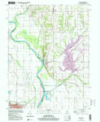 1998 Merom2002 Print · USGSThe Wabash River valley comes to life in this survey, showing the river winding between Indiana and Illinois at the end of the century. Genealogists and historians can trace family locations near Merom, Graysville, and rural landmarks like Old French Cem or Big Springs Ch.
 - 2010 Map of Merom, 2010 Print
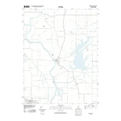 2010 Merom2010 Print · USGSThe Wabash River valley comes to life in this early twenty-first-century survey of the Indiana-Illinois border. Genealogists and local historians can trace family locations through several burial sites like Old French Cemetery and landmark features such as Merom Bluff.
 - 2010 Map of Heathsville, 2010 Print
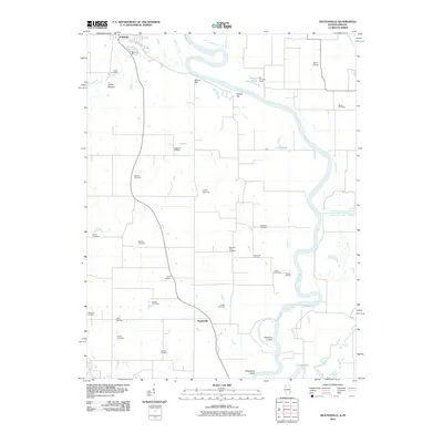 2010 Heathsville2010 Print · USGSAlong the Illinois and Indiana border in the early 21st century, the Wabash River meanders past historic riverfront settlements and ancient landmarks. Genealogists can trace local lineages through nearly twenty burial sites, including East Union Cemetery, while exploring the area's geography from Shaws Landing to the Indian Mound.
 - 2011 Map of Hutsonville, 2011 Print
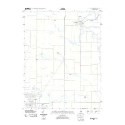 2011 Hutsonville2011 Print · USGSThe Wabash River valley in eastern Illinois comes into focus during the early twenty-first century as it winds past the historic river town of Hutsonville. Genealogists can trace family roots through numerous burial sites including Hutson Old Cemetery, Ball Cemetery, and Barbee Cemetery.
 - 2012 Map of Heathsville, 2012 Print
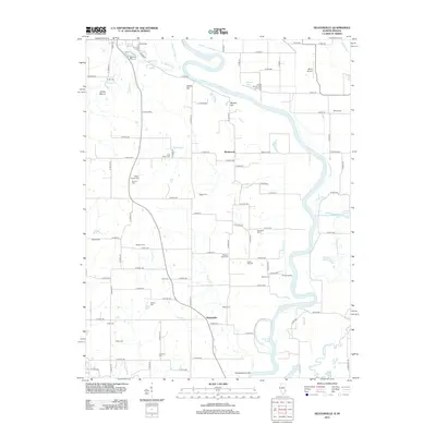 2012 Heathsville2012 Print · USGSThe Illinois-Indiana border along the Wabash River is captured here in the early twenty-first century, showing a landscape defined by oxbows and rural cemeteries. Researchers can locate numerous family burial grounds like Fuller Cem and Maddox Cem or trace the riparian features of Shaws Landing and Horseshoe Cutoff.
 - 2012 Map of Flat Rock, 2012 Print
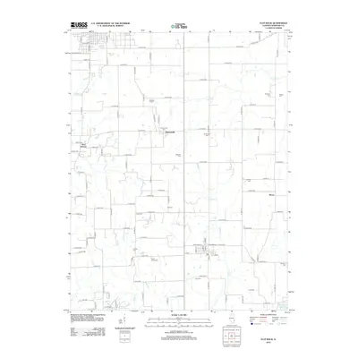 2012 Flat Rock2012 Print · USGSCrawford County farmland at the start of the 2010s reveals a landscape deeply rooted in family history. Genealogists can trace local lineages through a dense network of burial sites like Good Hope Cem and Tohill Cem near the settlements of Duncanville and New Hebron.
 - 2012 Map of Hutsonville, 2012 Print
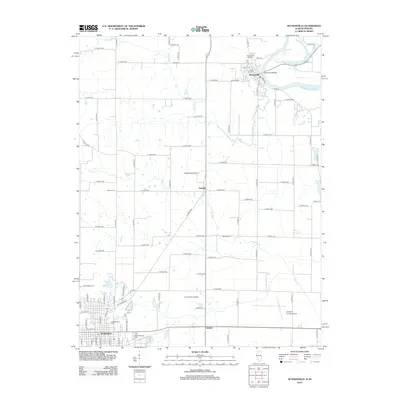 2012 Hutsonville2012 Print · USGSCrawford County's riverfront and agricultural heartland are documented here as the new millennium progressed. Researchers can trace family history through numerous burial grounds like Old Robinson Cem and Barbee Cem, or locate landmarks such as Lincoln Trail College.
Showing maps 1-25 of 41
Top cities near Palestine
- Robinson historical maps
- Sullivan historical maps
- Busseron historical maps
- Shelburn historical maps
- Fairbanks historical maps
- Carlisle historical maps
See more
Frequently asked questions
- What are the different types of historical maps available for Palestine?
- What is the oldest map of Palestine?
- Where can I purchase historical maps of Palestine for my home or office?
- Where can I download high-res historical maps of Palestine?
- Are there historical topographic maps available for Palestine?
- Is there historical aerial imagery available for Palestine?
- Where are historical maps of Palestine sourced from?