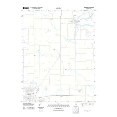
2011 Map of Hutsonville
USGS Topo · Published 2011About this map
Hutsonville sits at a critical bend of the Wabash River where the Hutsonville Bridge connects Illinois to Indiana. This area of Crawford County is defined by a series of family and community cemeteries that trace the settlement history of the region, including the Hutson Old Cemetery, Ball Cemetery, and Barbee Cemetery. The landscape transitions from the river bottomlands, marked by the Hutsonville Cutoff and Kelley Bayou, toward the industrial and residential core of Robinson in the southwest.
Find a feature on this map
21 named features on this map. Tap any name to fly to it.
Don’t see what you’re looking for? This feature index may not catch every label — zoom into the map to look around manually.
Map Details
Editions of this 2011 Hutsonville Map
This is the sole edition of this map. No revisions or reprints were ever made.
Other maps of this area

1910 · Hardinville
USGS Topo · 1:62,500

1917 · Birds
USGS Topo · 1:62,500

1942 · Fairbanks
USGS Topo · 1:24,000

1942 · Birds
USGS Topo · 1:62,500

1943 · Merom
USGS Topo · 1:24,000

1952 · Fairbanks
USGS Topo · 1:24,000

1953 · Indianapolis
USGS Topo · 1:250,000

1956 · Indianapolis
USGS Topo · 1:250,000

1956 · Annapolis
USGS Topo · 1:62,500

1956 · Vincennes
USGS Topo · 1:250,000