2000s (21st Century) Maps of DeKalb County, Illinois
Explore 100 historic maps of DeKalb County from the 2000s (21st Century). These maps offer a rare glimpse into what life looked like during the 2000s — showing old roads, neighborhoods, homes, and landmarks that have changed or disappeared over time.
Whether you're researching your family's past, planning a metal detecting trip, or studying how DeKalb County's landscape evolved across the 2000s, these high-resolution maps are a powerful tool for exploring the history of this region.
- Focus on a specific era: All maps on this page are from the 2000s, giving you a focused view of this time period.
- See what’s changed: Compare century-old streets, trails, and buildings to today's modern landscape using overlays and satellite layers.
- Research with precision: Use these maps for genealogy, historical research, land use analysis, or educational projects.
- View, download, or print: Maps are fully viewable online in high resolution, and can be downloaded or printed for your own records.
Start exploring DeKalb County's history through authentic maps from the 2000s. This is your window into the past.
DeKalb County, IL maps
(100)- 2012 Map of Kirkland, 2012 Print
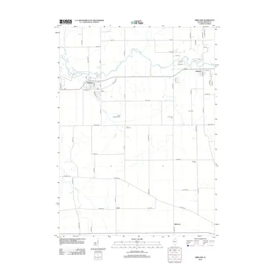 2012 Kirkland2012 Print · USGSDeKalb County’s rural character and small-town centers are captured here in the early 2010s. Genealogists can trace local roots through several family and community burial grounds like Maple Cem and Vanderburgh Cem, while exploring the riverfront growth of Kingston.
- 2012 Map of Marengo South, 2012 Print
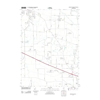 2012 Marengo South2012 Print · USGSThe agricultural heart of northern Illinois is captured here in the early 21st century, showing the intersection of small-town life and private aviation. Genealogists and historians can trace local roots at Union Cem and Harmony Cem or explore the many private airstrips like Hilbert's Funny Farm Airport.
- 2012 Map of Belvidere South, 2012 Print
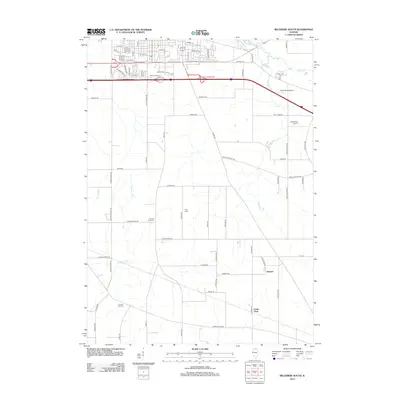 2012 Belvidere South2012 Print · USGSSouthern Boone County transitioned from industrial development to open prairie farmland during this period. Local historians and genealogists can trace family heritage through sites like Bloods Point Cem, the rural settlement of Herbert, and Gray Farms.
- 2012 Map of Hampshire, 2012 Print
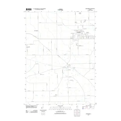 2012 Hampshire2012 Print · USGSHampshire and its surrounding township are depicted here during a period of modern agricultural and residential continuity. Researchers can locate numerous historic burial sites like Burlington Cem and landmarks such as the Edward Getzelman Airport.
- 2012 Map of Riley, 2012 Print
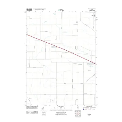 2012 Riley2012 Print · USGSMcHenry County at the start of the decade reveals a landscape of high-capacity farming and small-scale aviation. Researchers can locate family landmarks like Burrows Farms or trace local history at Barber Cem and North Kingston Cem.
- 2012 Map of Plano, 2012 Print
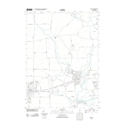 2012 Plano2012 Print · USGSThe Fox River valley and the BNSF rail corridor define this region during a period of steady growth and agricultural preservation. Genealogists and local historians can trace the foundations of Plano and Sandwich or locate rural landmarks like Maramech Hill and Sandy Bluff Cem.
- 2012 Map of Creston, 2012 Print
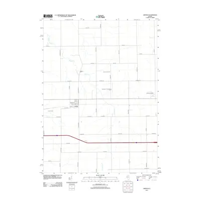 2012 Creston2012 Print · USGSThe village of Creston and the surrounding Ogle County farmlands are captured here during the early 2010s. Genealogists and local historians can locate the Woodlawn Cem, the Kishwaukee College campus, and the Montavon Seed Farm.
- 2012 Map of Lee, 2012 Print
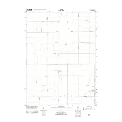 2012 Lee2012 Print · USGSDeKalb County farmland at the start of the 2010s shows a landscape of deep-rooted rural communities and prairie tributaries. Genealogists and local historians can trace the positions of Norwegian Lutheran Cem, English Cem, and the small settlement of Lee.
- 2012 Map of Paw Paw, 2012 Print
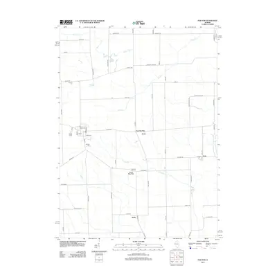 2012 Paw Paw2012 Print · USGSWyoming Township and the surrounding Lee County countryside are documented here in the early twenty-first century. Family historians can locate several local burial sites including Wyoming Cemetery and Ellsworth Cemetery near South Paw Paw.
- 2012 Map of Shabbona Grove, 2012 Print
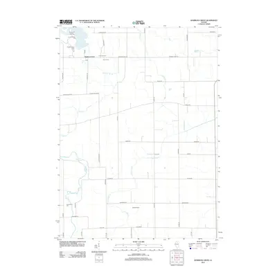 2012 Shabbona Grove2012 Print · USGSDeKalb County farmland is captured here in the early twenty-first century, showing a landscape defined by prairie streams and section roads. Researchers can locate family landmarks like Johnson Farm and Old Stevens Cem, or trace the recreational shores of Shabbona Lake.
- 2012 Map of Hinckley, 2012 Print
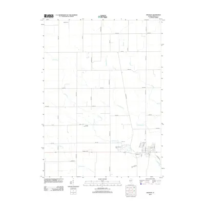 2012 Hinckley2012 Print · USGSDeKalb County’s agricultural heartland is documented here in the early 2010s, showing a landscape defined by family farmsteads and prairie creeks. Local history researchers can locate Immanuel Lutheran Cem, Hinckley Airport, and the residential Bailek Landing Area along the banks of Little Rock Cr.
- 2012 Map of Sycamore, 2012 Print
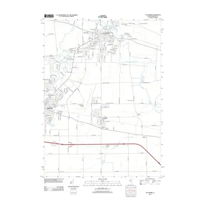 2012 Sycamore2012 Print · USGSDeKalb and Sycamore are shown here during a period of steady growth across the Illinois prairie. Genealogists can locate several burial grounds, including Elmwood Cem and Evergreen Cem, while tracing the landscape's history at the Ohio Grove Grange.
- 2012 Map of Waterman, 2012 Print
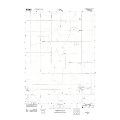 2012 Waterman2012 Print · USGSDeKalb County’s agricultural heartland is documented here in the early twenty-first century, centered on the village of Waterman. Local historians can trace family-run operations like Honey Hill Orchard and burial grounds such as North Clinton Cem and Afton Center Cem.
- 2012 Map of Somonauk, 2012 Print
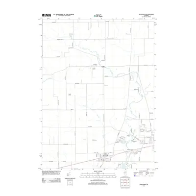 2012 Somonauk2012 Print · USGSSomonauk and the surrounding prairie are shown here in the early twenty-first century, revealing a landscape shaped by agriculture and private aviation. Researchers can locate several burial grounds including Oak Mound Cem and Oakridge Cem, or trace the winding course of Somonauk Cr.
- 2012 Map of Maple Park, 2012 Print
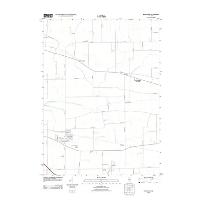 2012 Maple Park2012 Print · USGSThe rural landscape around Maple Park is captured here during the early twenty-first century, showing a region deeply rooted in its agricultural heritage. Researchers can locate numerous historic burial sites like Saints Peter and Paul's Catholic Cem and settlements such as Virgil and Richardson.
- 2012 Map of DeKalb, 2012 Print
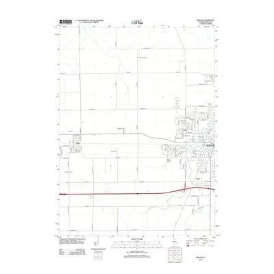 2012 DeKalb2012 Print · USGSDeKalb and the surrounding prairie are captured here in the early 21st century as the university campus and residential neighborhoods expand westward. Genealogists and historians can locate Fairview Park Cem, the grounds of Northern Illinois University, and the outlying village of Malta.
- 2012 Map of Big Rock, 2012 Print
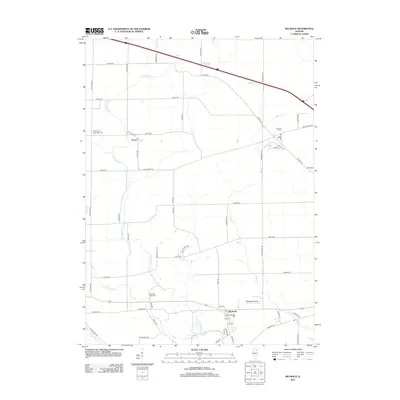 2012 Big Rock2012 Print · USGSBig Rock and the Kane County countryside appear in this early twenty-first-century survey during a period of steady rural continuity. Genealogists and local historians can trace family ties at the West Big Rock Cem or locate the site of the J Maddock Airport near Big Rock.
- 2012 Map of Fairdale, 2012 Print
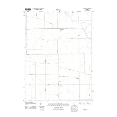 2012 Fairdale2012 Print · USGSNorthern Illinois at the start of the 2010s reveals a structured agricultural landscape centered on the settlements of Fairdale and Esmond. Genealogists and local historians can trace family roots through several sites like Porter Cem, Hick's Mill Cem, and the Heisner Dairy Farm.
- 2012 Map of Cherry Valley, 2012 Print
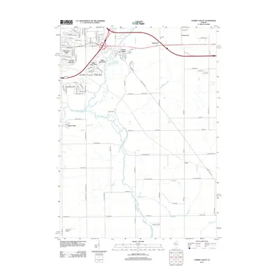 2012 Cherry Valley2012 Print · USGSWinnebago County suburban and rural landscapes converge here in the early twenty-first century as Rockford expands eastward. Researchers can trace local landmarks like Arlington Memorial Park Cem, identify small airstrips like Cheechako Airport, and locate established tracts such as the Beiler Subdivision.
- 2012 Map of Genoa, 2012 Print
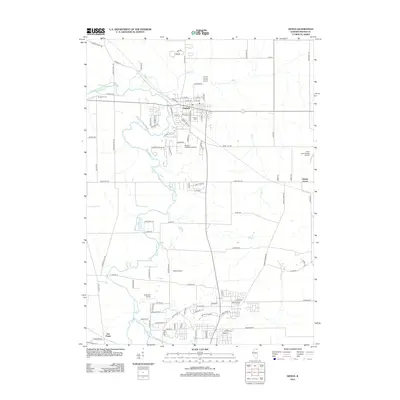 2012 Genoa2012 Print · USGSGenoa and the surrounding DeKalb County countryside are shown here in the early twenty-first century, as suburban growth meets long-standing agricultural roots. Researchers can locate family sites near Kingston Cem or trace the rural crossroads of Charter Grove and Five Points.
- 2015 Map of Somonauk, 2015 Print
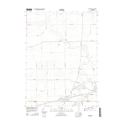 2015 Somonauk2015 Print · USGSThe borderlands of DeKalb and LaSalle counties are captured in this mid-2010s survey of Sandwich and Somonauk. Researchers can trace local lineage through several rural burial grounds, including Oakridge Cem and Benard Cem, or locate the site of George Airport.
- 2015 Map of Hinckley, 2015 Print
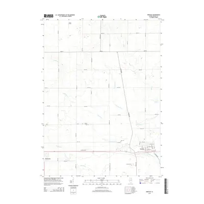 2015 Hinckley2015 Print · USGSDeKalb County farmland surrounds the villages of Hinckley and Waterman during the mid-2010s. Genealogists can trace local roots at Immanuel Lutheran Cem or Greenwood Cem, while aviation enthusiasts can locate Walter Airport and Hinckley Airport.
- 2015 Map of DeKalb, 2015 Print
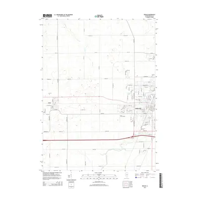 2015 DeKalb2015 Print · USGSDeKalb and the neighboring village of Malta are shown in detail during a period of modern collegiate and agricultural growth. Researchers can trace local heritage through several burial grounds like Hudson Cem and Oaklawn Cem, or locate the sprawling Northern Illinois Univ campus.
- 2015 Map of Lee, 2015 Print
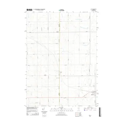 2015 Lee2015 Print · USGSThe Illinois prairie at the Lee and DeKalb county line is shown here in the mid-2010s, capturing a landscape of established agriculture and growing townships. Genealogists and local historians can trace family ties at Norwegian Lutheran Cem or Rose Hill Cem while exploring the creek-cut fields around Lee and Shabbona.
- 2015 Map of Big Rock, 2015 Print
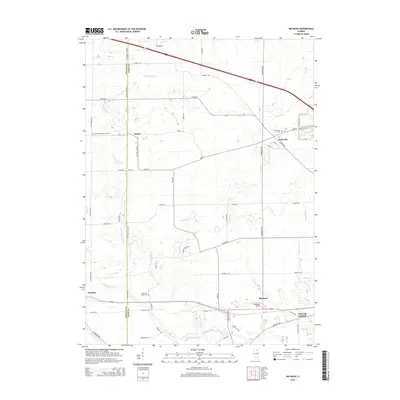 2015 Big Rock2015 Print · USGSKane County and DeKalb County farmland is captured here in the mid-2010s, showing the enduring rural layout of these Illinois prairie townships. Genealogists can locate family landmarks like the Kaneville Cemetery and the settlement of Troxel among the headwaters of Big Rock Creek.
Showing maps 1-25 of 100
Top cities of DeKalb County
Frequently asked questions
- What are the different types of historical maps available for DeKalb County?
- What is the oldest map of DeKalb County?
- Where can I purchase historical maps of DeKalb County for my home or office?
- Where can I download high-res historical maps of DeKalb County?
- Are there historical topographic maps available for DeKalb County?
- Is there historical aerial imagery available for DeKalb County?
- Where are historical maps of DeKalb County sourced from?