2020s Maps of DeKalb County, Illinois
Explore 40 historic maps of DeKalb County from the 2020s. These maps offer a rare glimpse into what life looked like during the 2020s — showing old roads, neighborhoods, homes, and landmarks that have changed or disappeared over time.
Whether you're researching your family's past, planning a metal detecting trip, or studying how DeKalb County's landscape evolved across the 2020s, these high-resolution maps are a powerful tool for exploring the history of this region.
- Focus on a specific era: All maps on this page are from the 2020s, giving you a focused view of this time period.
- See what’s changed: Compare century-old streets, trails, and buildings to today's modern landscape using overlays and satellite layers.
- Research with precision: Use these maps for genealogy, historical research, land use analysis, or educational projects.
- View, download, or print: Maps are fully viewable online in high resolution, and can be downloaded or printed for your own records.
Start exploring DeKalb County's history through authentic maps from the 2020s. This is your window into the past.
DeKalb County, IL maps
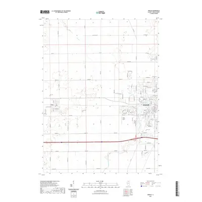
(40)- 2021 Map of Genoa, 2021 Print
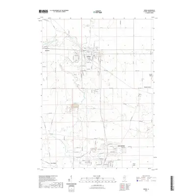 2021 Genoa2021 Print · USGSCovers DeKalb County, including Sycamore, Genoa, and other nearby areas
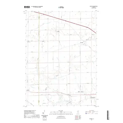
 - 2021 Map of Riley, 2021 Print
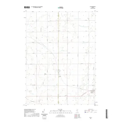
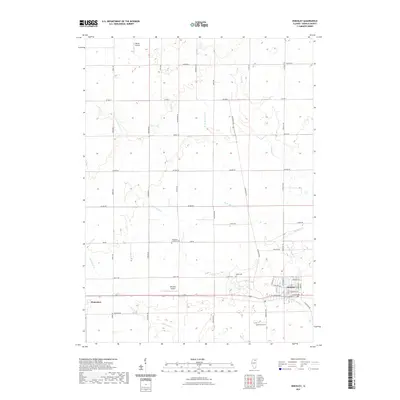
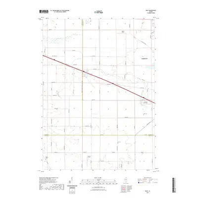 2021 Riley2021 Print · USGSCovers DeKalb County, including Riley, Genoa Township, and other nearby areas
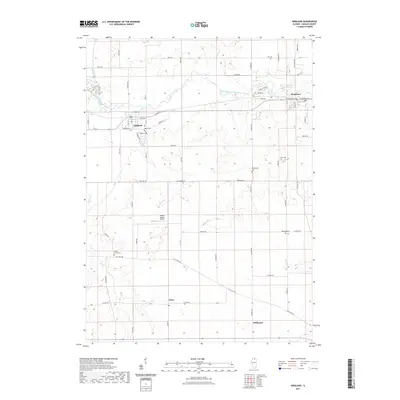
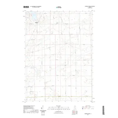
 - 2021 Map of Marengo South, 2021 Print
 2021 Marengo South2021 Print · USGSCovers DeKalb County, including Hampshire, Coral, and other nearby areas
 - 2021 Map of Hampshire, 2021 Print
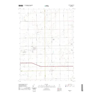
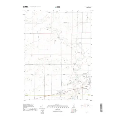
 2021 Hampshire2021 Print · USGSCovers DeKalb County, including Hampshire, Burlington, and other nearby areas
 - 2021 Map of Kirkland, 2021 Print
 2021 Kirkland2021 Print · USGSCovers DeKalb County, including Kirkland, Kingston, and other nearby areas
 - 2021 Map of Fairdale, 2021 Print
 2021 Fairdale2021 Print · USGSCovers DeKalb County, including Kirkland, Monroe Center, and other nearby areas
 - 2021 Map of Plano, 2021 Print
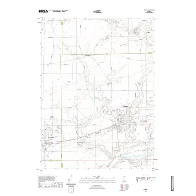 2021 Plano2021 Print · USGSCovers DeKalb County, including Plano, Sandwich, and other nearby areas
 - 2021 Map of Creston, 2021 Print
 2021 Creston2021 Print · USGSCovers DeKalb County, including Rochelle, Malta, and other nearby areas
 - 2021 Map of Sycamore, 2021 Print
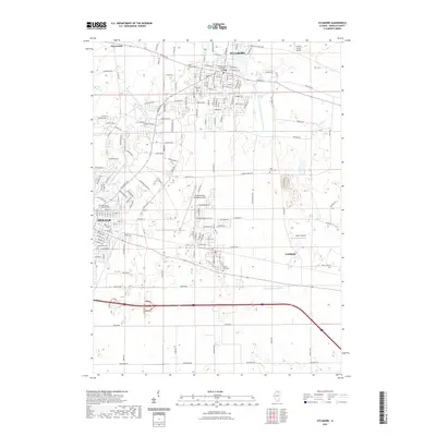 2021 Sycamore2021 Print · USGSCovers DeKalb County, including DeKalb, Sycamore, and other nearby areas
 - 2021 Map of Lee, 2021 Print
 2021 Lee2021 Print · USGSCovers DeKalb County, including Shabbona, Lee, and other nearby areas
 - 2021 Map of Paw Paw, 2021 Print
 2021 Paw Paw2021 Print · USGSCovers DeKalb County, including Paw Paw, Paw Paw Township, and other nearby areas
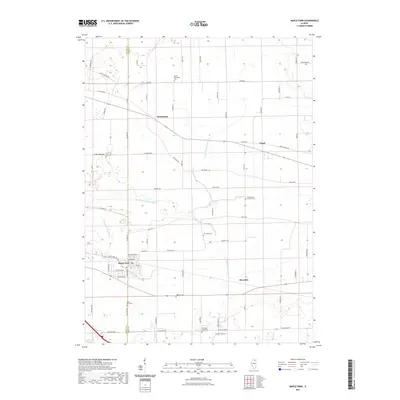
 - 2021 Map of Waterman, 2021 Print
 2021 Waterman2021 Print · USGSCovers DeKalb County, including Waterman, Shabbona, and other nearby areas
 - 2021 Map of Shabbona Grove, 2021 Print
 2021 Shabbona Grove2021 Print · USGSCovers DeKalb County, including Paw Paw Township, Shabbona Township, and other nearby areas
 - 2021 Map of Maple Park, 2021 Print
 2021 Maple Park2021 Print · USGSCovers DeKalb County, including Maple Park, Virgil, and other nearby areas
 - 2021 Map of DeKalb, 2021 Print
 2021 DeKalb2021 Print · USGSCovers DeKalb County, including DeKalb, Malta, and other nearby areas
 - 2021 Map of Big Rock, 2021 Print
 2021 Big Rock2021 Print · USGSCovers DeKalb County, including Sugar Grove, Hinckley, and other nearby areas
 - 2021 Map of Hinckley, 2021 Print
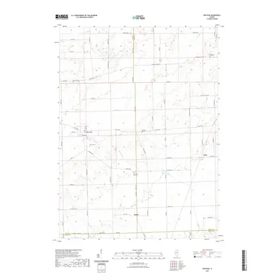
 2021 Hinckley2021 Print · USGSCovers DeKalb County, including Hinckley, Waterman, and other nearby areas
 - 2021 Map of Cherry Valley, 2021 Print
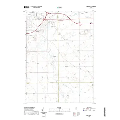 2021 Cherry Valley2021 Print · USGSCovers DeKalb County, including Rockford, Belvidere, and other nearby areas
 - 2021 Map of Belvidere South, 2021 Print
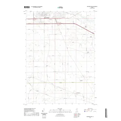 2021 Belvidere South2021 Print · USGSCovers DeKalb County, including Belvidere, Belvidere Township, and other nearby areas
 - 2021 Map of Somonauk, 2021 Print
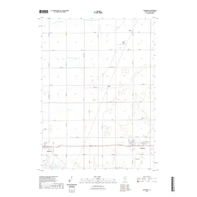
 2021 Somonauk2021 Print · USGSCovers DeKalb County, including Sandwich, Somonauk, and other nearby areas
 - 2024 Map of Fairdale, 2024 Print
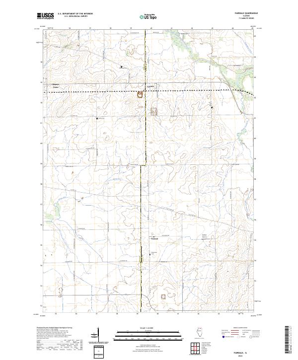 2024 Fairdale2024 Print · USGSSettlement and agriculture converge on the Ogle and DeKalb county line in the early twenty-first century. Researchers can trace the layout of small hubs like Fairdale and Monroe Center or locate local burial sites such as Greenview Cem and Porter Cem.
 - 2024 Map of Riley, 2024 Print
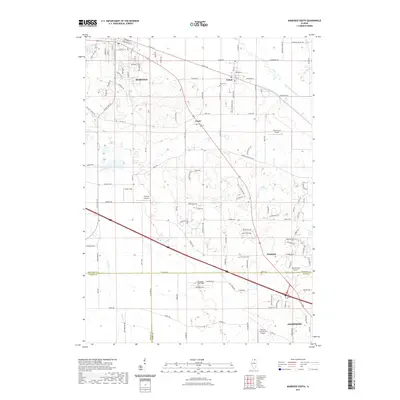
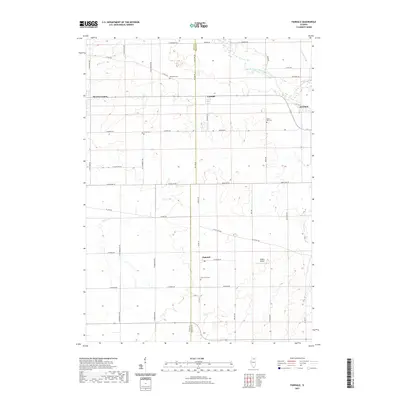
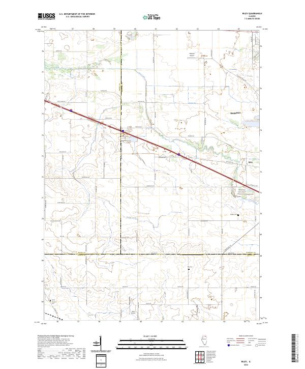 2024 Riley2024 Print · USGSThe rural borders of Boone and McHenry counties are captured here in the early twenty-first century as agricultural lands interface with modern transit. Researchers can locate local burial grounds like Barber Cem and Ney Cem or trace the drainage of Coon Creek.
 - 2024 Map of Hampshire, 2024 Print
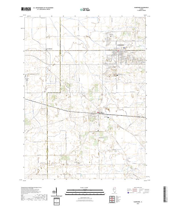 2024 Hampshire2024 Print · USGSThe northern Illinois prairie in the early twenty-first century is captured here as residential growth expands near Hampshire and Burlington. Genealogists and historians can trace family locations through several burial grounds, including Burlington Union Cem and Ward Family Cem.
 - 2024 Map of Belvidere South, 2024 Print
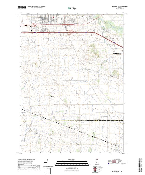 2024 Belvidere South2024 Print · USGSSouthern Boone County and the DeKalb border are captured here as they appeared in the early 2020s, blending industrial growth with deep-rooted rural character. Researchers can locate family sites at Bloods Point Cem or trace the hamlets of Herbert and Colvin Park.
 - 2024 Map of Kirkland, 2024 Print
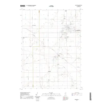
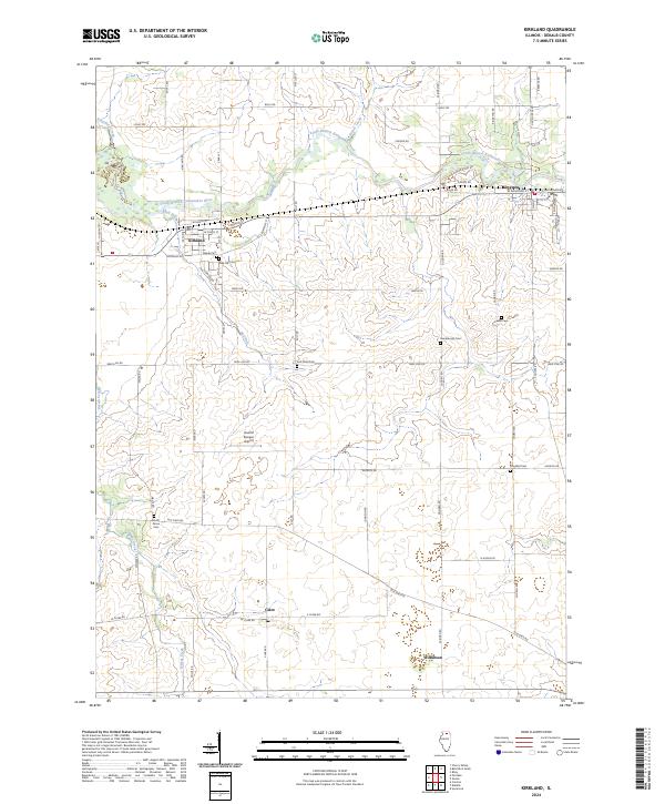 2024 Kirkland2024 Print · USGSDeKalb County farmland surrounds the Kishwaukee River valley in this modern survey. Genealogists can trace family lines through several local burial grounds, including Pine Hill Cem, Lanan Cem, and the small settlement of Clare.
Showing maps 1-25 of 40
Top cities of DeKalb County
Frequently asked questions
- What are the different types of historical maps available for DeKalb County?
- What is the oldest map of DeKalb County?
- Where can I purchase historical maps of DeKalb County for my home or office?
- Where can I download high-res historical maps of DeKalb County?
- Are there historical topographic maps available for DeKalb County?
- Is there historical aerial imagery available for DeKalb County?
- Where are historical maps of DeKalb County sourced from?