2020s Maps of DeWitt County, Illinois
Explore 34 historic maps of DeWitt County from the 2020s. These maps offer a rare glimpse into what life looked like during the 2020s — showing old roads, neighborhoods, homes, and landmarks that have changed or disappeared over time.
Whether you're researching your family's past, planning a metal detecting trip, or studying how DeWitt County's landscape evolved across the 2020s, these high-resolution maps are a powerful tool for exploring the history of this region.
- Focus on a specific era: All maps on this page are from the 2020s, giving you a focused view of this time period.
- See what’s changed: Compare century-old streets, trails, and buildings to today's modern landscape using overlays and satellite layers.
- Research with precision: Use these maps for genealogy, historical research, land use analysis, or educational projects.
- View, download, or print: Maps are fully viewable online in high resolution, and can be downloaded or printed for your own records.
Start exploring DeWitt County's history through authentic maps from the 2020s. This is your window into the past.
DeWitt County, IL maps
(34)- 2021 Map of Le Roy, 2021 Print
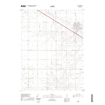 2021 Le Roy2021 Print · USGSCovers DeWitt County, including Le Roy, McLean County, and other nearby areas
 - 2021 Map of Maroa, 2021 Print
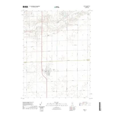 2021 Maroa2021 Print · USGSCovers DeWitt County, including Maroa, Ospur, and other nearby areas
 - 2021 Map of Clinton, 2021 Print
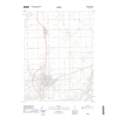 2021 Clinton2021 Print · USGSCovers DeWitt County, including Clinton, Wapella, and other nearby areas
 - 2021 Map of Weldon East, 2021 Print
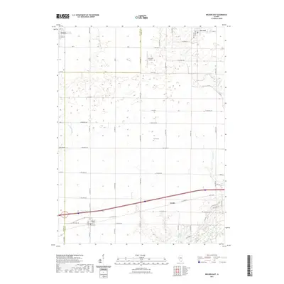 2021 Weldon East2021 Print · USGSCovers DeWitt County, including De Land, Weldon, and other nearby areas
 - 2021 Map of Farmer City South, 2021 Print
 2021 Farmer City South2021 Print · USGSCovers DeWitt County, including Farmer City, De Land, and other nearby areas
 - 2021 Map of Mansfield, 2021 Print
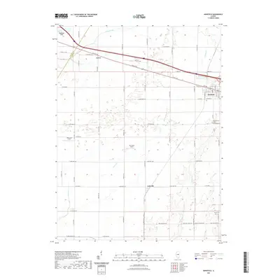 2021 Mansfield2021 Print · USGSCovers DeWitt County, including Farmer City, Mansfield, and other nearby areas
 - 2021 Map of De Witt, 2021 Print
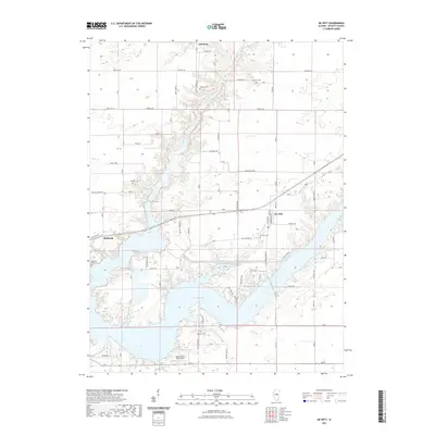 2021 De Witt2021 Print · USGSCovers DeWitt County, including De Witt, Birkbeck, and other nearby areas
 - 2021 Map of Weldon West, 2021 Print
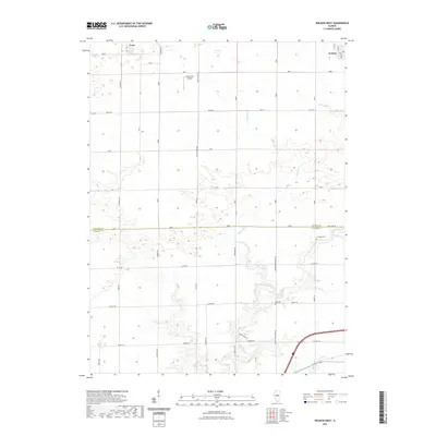 2021 Weldon West2021 Print · USGSCovers DeWitt County, including Weldon, Lane, and other nearby areas
 - 2021 Map of Heyworth, 2021 Print
 2021 Heyworth2021 Print · USGSCovers DeWitt County, including Heyworth, Bucks, and other nearby areas
 - 2021 Map of Farmer City North, 2021 Print
 2021 Farmer City North2021 Print · USGSCovers DeWitt County, including Empire, Le Roy, and other nearby areas
 - 2021 Map of Bellflower, 2021 Print
 2021 Bellflower2021 Print · USGSCovers DeWitt County, including Farmer City, Bellflower, and other nearby areas
 - 2021 Map of Waynesville West, 2021 Print
 2021 Waynesville West2021 Print · USGSCovers DeWitt County, including Waynesville, Tabor, and other nearby areas
 - 2021 Map of Funks Grove, 2021 Print
 2021 Funks Grove2021 Print · USGSCovers DeWitt County, including Heyworth, Funks Grove, and other nearby areas
 - 2021 Map of Kenney, 2021 Print
 2021 Kenney2021 Print · USGSCovers DeWitt County, including Tunbridge, Kenney, and other nearby areas
 - 2021 Map of Waynesville East, 2021 Print
 2021 Waynesville East2021 Print · USGSCovers DeWitt County, including Waynesville, Jenkins, and other nearby areas
 - 2021 Map of McLean, 2021 Print
 2021 McLean2021 Print · USGSCovers DeWitt County, including Atlanta, McLean, and other nearby areas
 - 2021 Map of Chestnut, 2021 Print
 2021 Chestnut2021 Print · USGSCovers DeWitt County, including Chestnut, Bakerville, and other nearby areas
 - 2024 Map of Le Roy, 2024 Print
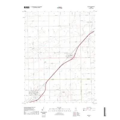
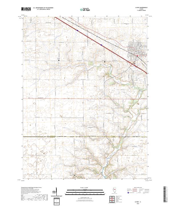 2024 Le Roy2024 Print · USGSThe town of Le Roy is captured here as a growing regional hub at the boundary of McLean and De Witt counties. Researchers can trace family history through local sites like Rutledge Cemetery and follow the natural course of North Fork Salt Creek.
 - 2024 Map of Waynesville East, 2024 Print
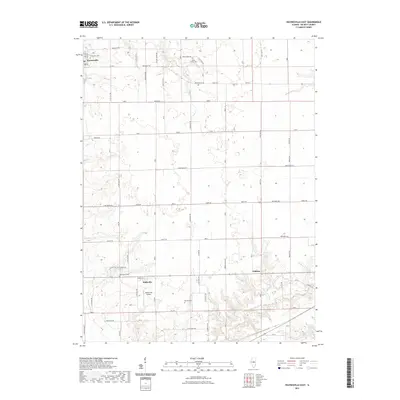
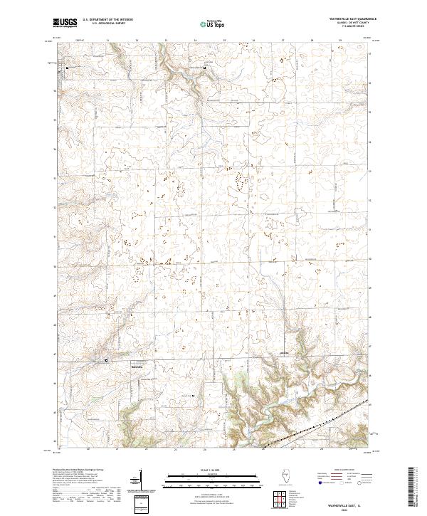 2024 Waynesville East2024 Print · USGSThe rural stretches of De Witt County come into focus during the 2020s, revealing a landscape of family farms and quiet crossroads. Researchers can trace ancestral roots at Rock Creek Cem or McClimans Cem, and locate the small-town hub of Hallsville.
 - 2024 Map of Heyworth, 2024 Print
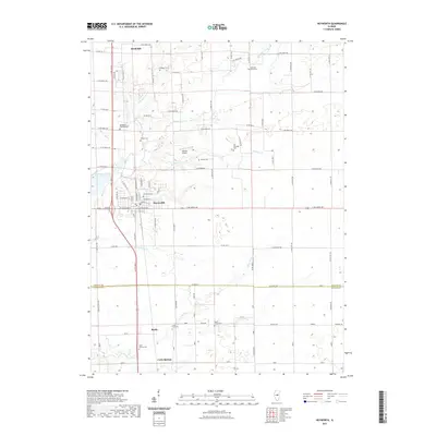
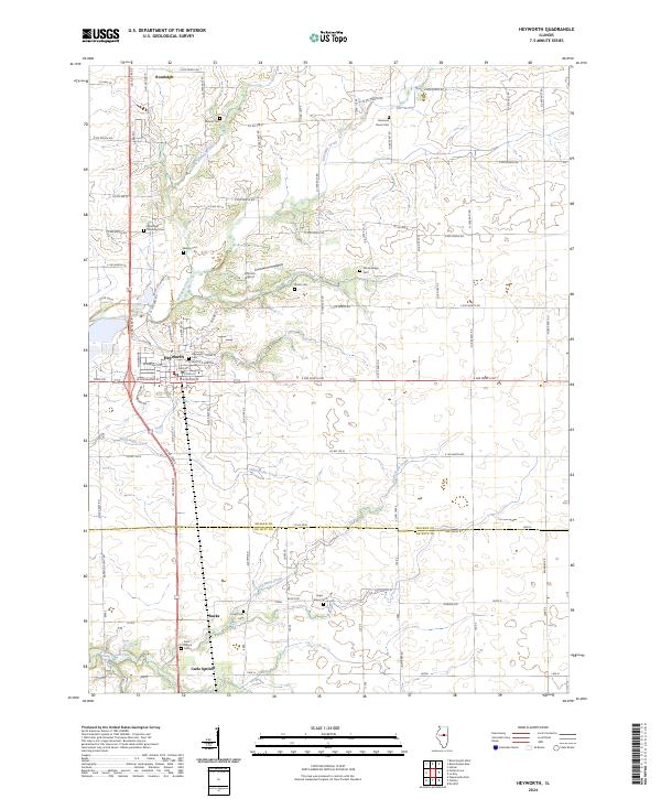 2024 Heyworth2024 Print · USGSHeyworth and the rural prairie of McLean and De Witt Counties are shown in meticulous detail during the early 2020s. Trace local family histories through the numerous burial grounds like Diamond Grove Cem and Sugar Grove Cem near Kickapoo Creek.
 - 2024 Map of Maroa, 2024 Print
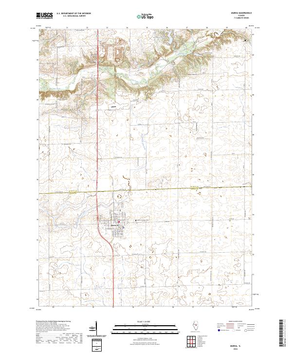 2024 Maroa2024 Print · USGSThe agricultural heartland of Macon and De Witt counties is captured here in the early twenty-first century. Genealogists and local researchers can locate Maroa Township Cemetery and the settlement of Ospur amidst the winding course of Salt Creek.
 - 2024 Map of Chestnut, 2024 Print
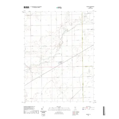
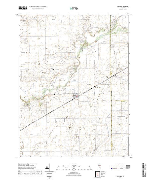 2024 Chestnut2024 Print · USGSThe village of Chestnut and its surrounding grain fields are captured here in the early twenty-first century. Researchers can trace family history through numerous local burial grounds including Laenna Cem, Harmony Cem, and Pleasant Valley Cem.
 - 2024 Map of Bellflower, 2024 Print
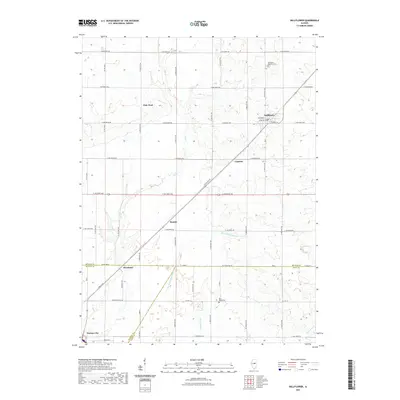
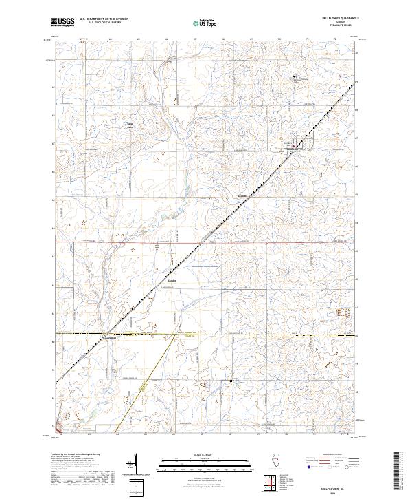 2024 Bellflower2024 Print · USGSBellflower and the surrounding Illinois prairie are captured here in the 2020s, showing a landscape defined by century-old county lines and rural hamlets. Family researchers can trace locations like Bellflower Township Cem, Kumler, and Weedman.
 - 2024 Map of Weldon East, 2024 Print
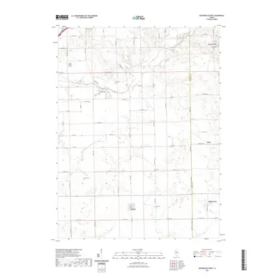
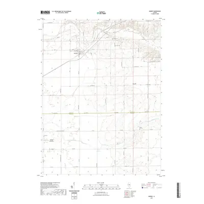
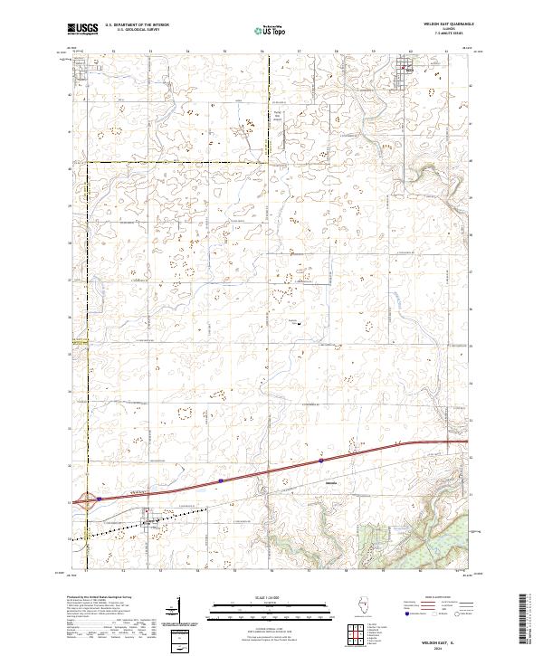 2024 Weldon East2024 Print · USGSPiatt County's fertile prairie and the Sangamon River valley are documented here in the early twenty-first century. Researchers can trace local landmarks like Kentuck Cem and the village streets of De Land and Cisco.
 - 2024 Map of Farmer City South, 2024 Print
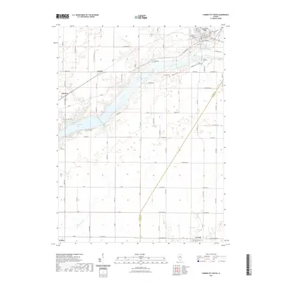
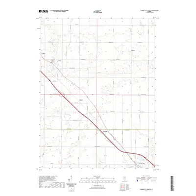
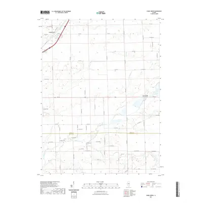
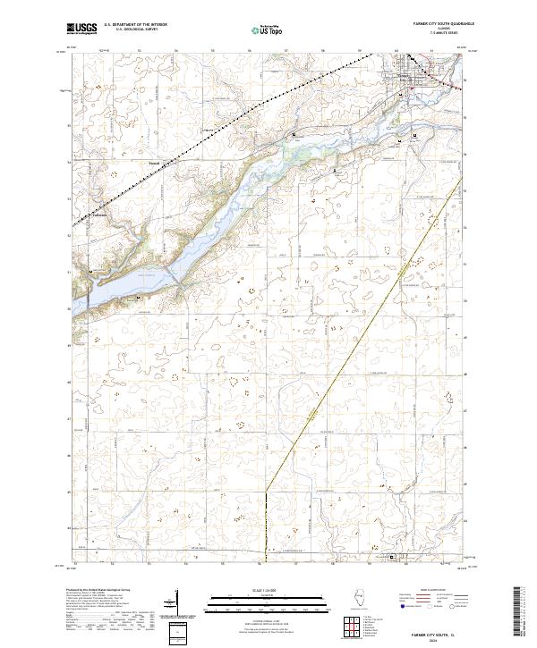 2024 Farmer City South2024 Print · USGSDe Witt County agricultural lands and the southern waters of Lake Clinton are preserved in this contemporary survey. Family historians can locate numerous rural burial grounds like McCord Cem and Campground Cem near the historic crossing at Parnell.
Showing maps 1-25 of 34
Top cities of DeWitt County
- Clinton historical maps
- Farmer City historical maps
- Tunbridge historical maps
- Wapella historical maps
- Waynesville historical maps
- Weldon historical maps
See more
Frequently asked questions
- What are the different types of historical maps available for DeWitt County?
- What is the oldest map of DeWitt County?
- Where can I purchase historical maps of DeWitt County for my home or office?
- Where can I download high-res historical maps of DeWitt County?
- Are there historical topographic maps available for DeWitt County?
- Is there historical aerial imagery available for DeWitt County?
- Where are historical maps of DeWitt County sourced from?