Old Maps of Weldon, Illinois for Hiking & Exploration
Hike through history with 26 historic maps of Weldon. Explore old trails, ghost towns, and forgotten backroads — perfect for outdoor adventurers and local explorers.
- Rediscover forgotten places: Map out old mining camps, roads, and footpaths that no longer exist on modern maps.
- Layer with modern tools: Combine with LiDAR or satellite views to plan hikes through historical terrain.
- Made for exploration: Popular among hikers, overlanders, and local history lovers.
Use these maps to find adventure and explore the hidden past of Weldon.
Weldon, IL maps
(26)- 1937 Map of Monticello
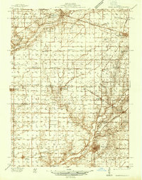 1937 Monticello1937 Print · USGSIn the mid-1930s, this portion of Piatt and DeWitt counties was a bustling corridor of rail lines and rural school districts. Genealogists can locate family landmarks like Campground Cem or trace the vanished district schools like Watson Sch and Harmony Sch.2 unique versions available
 - 1943 Map of Monticello
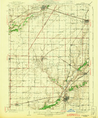 1943 Monticello1943 Print · USGSCentral Illinois at the height of the Second World War reveals a landscape of thriving rail towns and rural school districts. You can trace the path of the Wabash railroad through White Heath or locate family roots at Kentucky Ch and Greenleaf Cem.2 unique versions available
 - 1957 Map of Maroa, 1958 Print
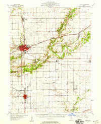 1957 Maroa1958 Print · USGSCentral Illinois during the late fifties reveals a landscape of thriving rail towns and quiet rural outposts. Genealogists can trace family footprints at Crum Cem or Shiloh Ch, and locate vanished landmarks like Texas Sch.2 unique versions available
 - 1958 Map of Peoria, 1969 Print
 1958 Peoria1969 Print · USGSCentral Illinois thrived as a hub of education and transport during the late sixties, as the new interstate system began to reshape the prairie. Genealogists and historians can trace local landmarks like Springdale Cem, Bradley University, and the sprawling grounds of Chanute AFB.4 unique versions available
 - 1961 Map of Peoria
 1961 Peoria1961 Print · USGSCentral Illinois thrived at the intersection of river trade and rail power during the late fifties. Genealogists and local historians can trace the rail networks of the Illinois Central and Wabash, alongside landmarks like Chanute AFB and Weldon Springs State Park.
 - 1963 Map of Peoria
 1963 Peoria1963 Print · USGSCentral Illinois thrived as a rail and highway crossroads during the early sixties, centered on the bustling Illinois River valley. Genealogists and historians can trace the mid-century layout of Peoria, locate the grounds of Chanute Air Force Base, and follow historic lines like the Toledo Peoria and Western Railway.
 - 1979 Map of Farmer City South, 1980 Print
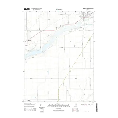
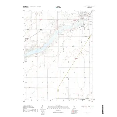
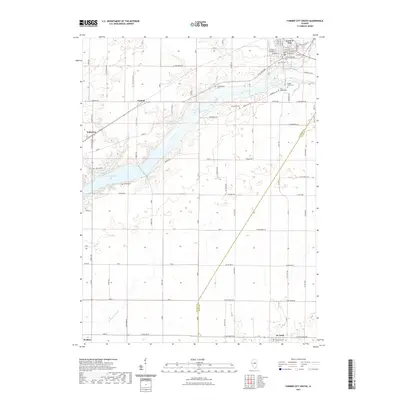
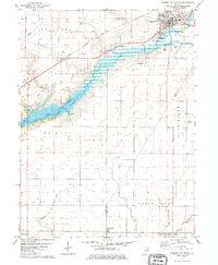 1979 Farmer City South1980 Print · USGSThe rural landscapes of De Witt and Piatt counties are captured here in the late seventies as the new reservoir at Lake Clinton takes shape. Researchers can trace ancestral sites at Fullerton Church, St. Joseph Cemetery, and McCord Cemetery.
 - 1979 Map of Weldon West, 1980 Print
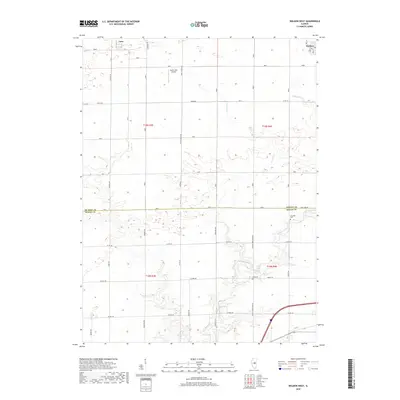
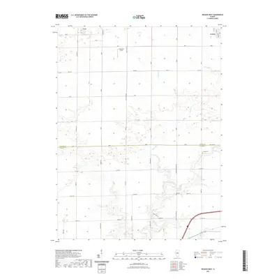
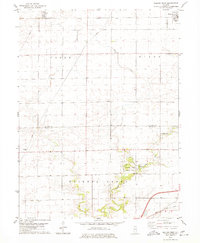 1979 Weldon West1980 Print · USGSDe Witt County and the Macon County line are captured in the late seventies, a period of established prairie farming and rail transport. Genealogists can locate Shiloh Chapel, the Chandler Cem, and the rural community of Lane along the Illinois Central Gulf tracks.
 - 1979 Map of Weldon East, 1980 Print
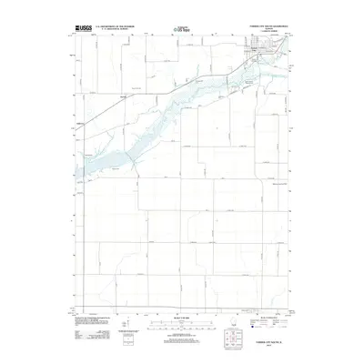
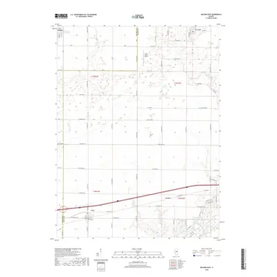
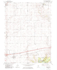 1979 Weldon East1980 Print · USGSPiatt County farmland in the late seventies is marked by the busy Illinois Central Gulf rail line and quiet rural townships. Genealogists can locate family sites near Weldon, DeLand, or the wooded grounds of Robert Allerton Park.
 - 1985 Map of Champaign, 1986 Print
 1985 Champaign1986 Print · USGSThe Illinois prairie comes alive in this mid-eighties survey of the vital rail corridor between Bloomington and Champaign. Genealogists and historians can trace the development of township hubs like Saybrook and Bellflower or locate Chanute Air Force Base and the Sangamon River.2 unique versions available
 - 1990 Map of Peoria
 1990 Peoria1990 Print · USGSCentral Illinois at the start of the nineties reveals a landscape of industrial river towns and sprawling university campuses. Researchers can trace the legacy of major institutions like Chanute Air Force Base and the University of Illinois alongside regional landmarks such as Sand Ridge State Forest.
 - 2012 Map of Weldon West, 2012 Print
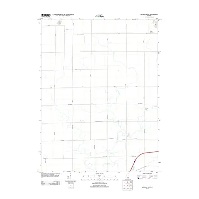 2012 Weldon West2012 Print · USGSCovers Weldon, including Lane, Macon County, and other nearby areas
 - 2012 Map of Weldon East, 2012 Print
 2012 Weldon East2012 Print · USGSCovers Weldon, including De Land, Cisco, and other nearby areas
 - 2012 Map of Farmer City South, 2012 Print
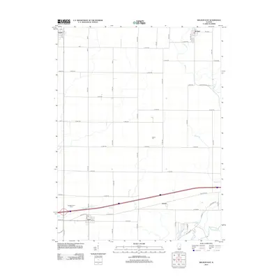
 2012 Farmer City South2012 Print · USGSCovers Weldon, including Farmer City, De Land, and other nearby areas
 - 2015 Map of Farmer City South, 2015 Print
 2015 Farmer City South2015 Print · USGSCovers Weldon, including Farmer City, De Land, and other nearby areas
 - 2015 Map of Weldon West, 2015 Print
 2015 Weldon West2015 Print · USGSCovers Weldon, including Lane, Macon County, and other nearby areas
 - 2015 Map of Weldon East, 2015 Print
 2015 Weldon East2015 Print · USGSCovers Weldon, including De Land, Cisco, and other nearby areas
 - 2018 Map of Weldon West, 2018 Print
 2018 Weldon West2018 Print · USGSCovers Weldon, including Lane, Macon County, and other nearby areas
 - 2018 Map of Farmer City South, 2018 Print
 2018 Farmer City South2018 Print · USGSCovers Weldon, including Farmer City, De Land, and other nearby areas
 - 2018 Map of Weldon East, 2018 Print
 2018 Weldon East2018 Print · USGSCovers Weldon, including De Land, Cisco, and other nearby areas
 - 2021 Map of Weldon East, 2021 Print
 2021 Weldon East2021 Print · USGSCovers Weldon, including De Land, Cisco, and other nearby areas
 - 2021 Map of Farmer City South, 2021 Print
 2021 Farmer City South2021 Print · USGSCovers Weldon, including Farmer City, De Land, and other nearby areas
 - 2021 Map of Weldon West, 2021 Print
 2021 Weldon West2021 Print · USGSCovers Weldon, including Lane, Macon County, and other nearby areas
 - 2024 Map of Weldon East, 2024 Print
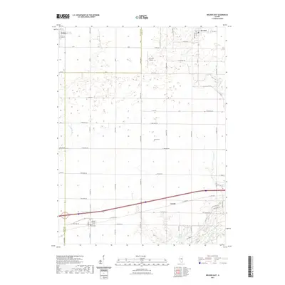
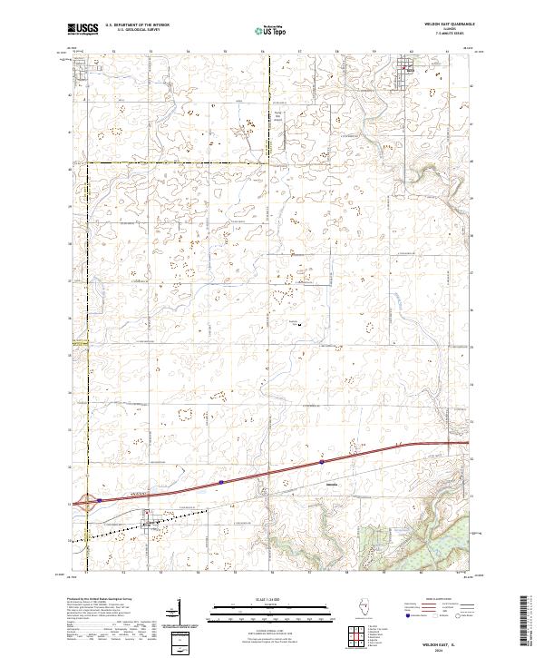 2024 Weldon East2024 Print · USGSPiatt County's fertile prairie and the Sangamon River valley are documented here in the early twenty-first century. Researchers can trace local landmarks like Kentuck Cem and the village streets of De Land and Cisco.
 - 2024 Map of Farmer City South, 2024 Print
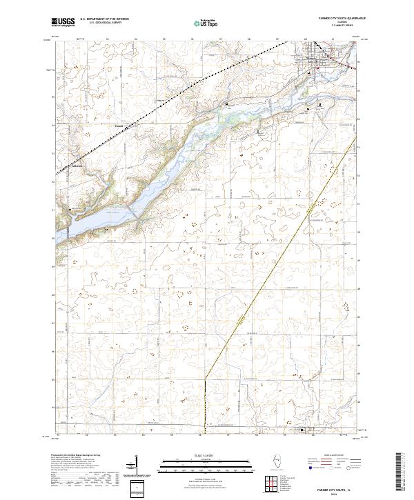 2024 Farmer City South2024 Print · USGSDe Witt County agricultural lands and the southern waters of Lake Clinton are preserved in this contemporary survey. Family historians can locate numerous rural burial grounds like McCord Cem and Campground Cem near the historic crossing at Parnell.
Showing maps 1-25 of 26
Top cities near Weldon
- Decatur historical maps
- Clinton historical maps
- Monticello historical maps
- Empire historical maps
- Le Roy historical maps
- Forsyth historical maps
See more
Frequently asked questions
- What are the different types of historical maps available for Weldon?
- What is the oldest map of Weldon?
- Where can I purchase historical maps of Weldon for my home or office?
- Where can I download high-res historical maps of Weldon?
- Are there historical topographic maps available for Weldon?
- Is there historical aerial imagery available for Weldon?
- Where are historical maps of Weldon sourced from?