Old Maps of Red Top, Illinois for Metal Detecting
Plan your next treasure hunt with 11 historic maps of Red Top. Find old homesites, ghost towns, trails, and gathering spots that may be lost to time — perfect for identifying promising metal detecting locations.
- Locate forgotten sites: Uncover places like long-lost settlements, abandoned rail lines, or gathering spots.
- Plan better hunts: Use map overlays combined with LiDAR or satellite views to narrow in on historically rich areas.
- Made for detectorists: Thousands of hobbyists use these maps to discover relics, coins, and hidden history.
Use these historic maps to boost your research and find new opportunities beneath the surface of Red Top.
Red Top, IL maps
(11)- 1943 Map of Albion, 1969 Print
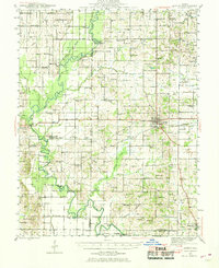 1943 Albion1969 Print · USGSEdwards County and its neighbors are captured here in the 1940s, showing a landscape defined by the winding Little Wabash River and the Southern rail line. Genealogists can locate numerous rural landmarks like Wanbor Cem, Samsville, and the Curtisville Sch.
 - 1946 Map of Albion
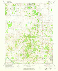
 1946 Albion1946 Print · USGSEdwards and Wayne Counties are shown in the mid-1940s as a thriving network of rural school districts and small rail towns. Genealogists can trace family homesteads near Albion and Bone Gap or locate vanished landmarks like Blacks Store and Beech Bluff Sch.
 - 1958 Map of Belleville, 1973 Print
 1958 Belleville1973 Print · USGSSouthern Illinois during the mid-twentieth century reveals a landscape of industrial growth and massive new reservoirs. Genealogists and historians can trace the paths of the Illinois Central RR through towns like Centralia or locate landmarks such as Emerald Mound and the Looking Glass Prairie.3 unique versions available
 - 1962 Map of Belleville
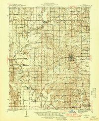
 1962 Belleville1962 Print · USGSSouthern Illinois in the late fifties reveals a landscape of industrial growth and ancient landmarks before the full expansion of the interstate system. Genealogists can trace family names and rural post offices near Centralia, Salem, and the historic Monks Mound.
 - 1971 Map of Albion South, 1973 Print
 1971 Albion South1973 Print · USGSEdwards County in the early seventies shows a landscape where historic river crossings meet a growing energy sector. Genealogists and historians can trace numerous rural burial grounds like Birk Prairie Cem and old river landmarks such as Dixon Shoals near the Little Wabash River.2 unique versions available
 - 1982 Map of Mount Vernon
 1982 Mount Vernon1982 Print · USGSSouthern Illinois and Southwestern Indiana meet here during a period of significant regional water management and transit growth. Researchers can trace the development of Rend Lake and locate vanished rail stops along the Southern RR near Bluford and Golden Gate.
 - 2012 Map of Albion South, 2012 Print
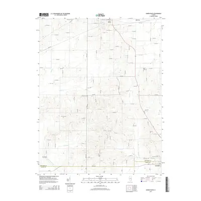
 2012 Albion South2012 Print · USGSCovers Red Top, including Albion, Grayville, and other nearby areas
 - 2015 Map of Albion South, 2015 Print
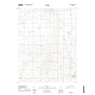
 2015 Albion South2015 Print · USGSCovers Red Top, including Albion, Grayville, and other nearby areas
 - 2018 Map of Albion South, 2018 Print
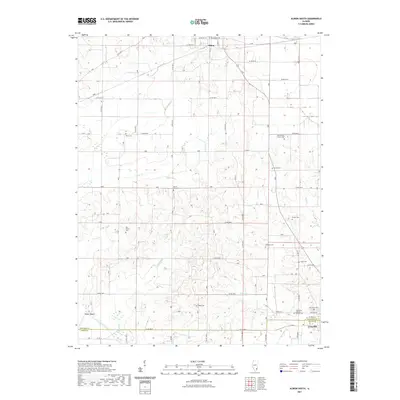
 2018 Albion South2018 Print · USGSCovers Red Top, including Albion, Grayville, and other nearby areas
 - 2021 Map of Albion South, 2021 Print
 2021 Albion South2021 Print · USGSCovers Red Top, including Albion, Grayville, and other nearby areas
 - 2024 Map of Albion South, 2024 Print
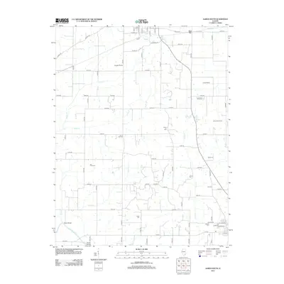
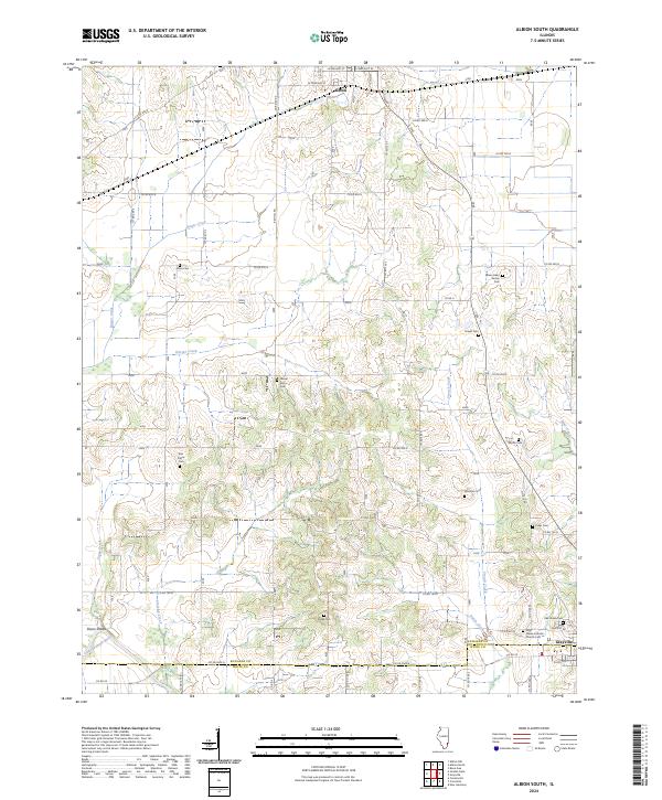 2024 Albion South2024 Print · USGSEdwards County in the 2020s remains a landscape of traditional crossroads and deeply rooted family histories. Genealogists can locate numerous rural burial sites like the James Hean Family Cem, Birk Prairie Cem, and the Holy Name Catholic Church Cem.
End of results
Showing maps 1-11 of 11
Top cities near Red Top
- Mount Carmel historical maps
- Albion historical maps
- Grayville historical maps
- West Salem historical maps
- Crossville historical maps
- Bellmont historical maps
See more
Frequently asked questions
- What are the different types of historical maps available for Red Top?
- What is the oldest map of Red Top?
- Where can I purchase historical maps of Red Top for my home or office?
- Where can I download high-res historical maps of Red Top?
- Are there historical topographic maps available for Red Top?
- Is there historical aerial imagery available for Red Top?
- Where are historical maps of Red Top sourced from?