Old Maps of Teutopolis, Illinois for Hiking & Exploration
Hike through history with 27 historic maps of Teutopolis. Explore old trails, ghost towns, and forgotten backroads — perfect for outdoor adventurers and local explorers.
- Rediscover forgotten places: Map out old mining camps, roads, and footpaths that no longer exist on modern maps.
- Layer with modern tools: Combine with LiDAR or satellite views to plan hikes through historical terrain.
- Made for exploration: Popular among hikers, overlanders, and local history lovers.
Use these maps to find adventure and explore the hidden past of Teutopolis.
Teutopolis, IL maps
(27)- 1950 Map of Effingham, 1958 Print
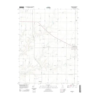
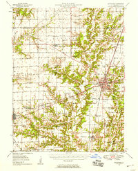 1950 Effingham1958 Print · USGSEffingham and the surrounding townships are shown at a mid-century peak of rail activity and rural development. Genealogists can trace family roots through numerous sites like Wolf Creek Cemetery, St Marys Church, and the settlement at Shumway.4 unique versions available
 - 1951 Map of Effingham
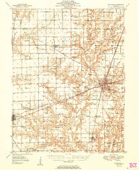 1951 Effingham1951 Print · USGSIn the decade after the war, central Illinois thrived as a rail and agricultural crossroads. Genealogists and historians can locate dozens of country landmarks like Ewington Cem, St Pauls Ch, and the many schools of Summit and Liberty townships.2 unique versions available
 - 1953 Map of Teutopolis, 1955 Print
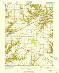 1953 Teutopolis1955 Print · USGSMid-century Effingham County and its neighbors are documented here during a period of agricultural stability and rail-line prominence. Genealogists can locate family landmarks including Elliottstown, Lillyville, and rural schools like Plain Tree Sch.2 unique versions available
 - 1958 Map of Decatur, 1971 Print
 1958 Decatur1971 Print · USGSCentral Illinois in the mid-twentieth century shows a landscape defined by industrial rail hubs and the creation of large reservoirs. Researchers can trace historic corridors like the Penn Central or locate landmarks such as Lincoln Log Cabin State Park and Lake Springfield.3 unique versions available
 - 1961 Map of Decatur
 1961 Decatur1961 Print · USGSCentral Illinois in the late fifties was a bustling corridor of rail lines and prairie commerce centered on the state capital. Genealogists and historians can trace the intricate connections between Springfield, Decatur, and dozens of smaller settlements like Nokomis and Arcola.2 unique versions available
 - 1985 Map of Dieterich
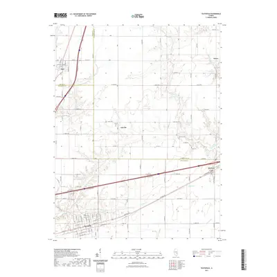
 1985 Dieterich1985 Print · USGSThe village of Dieterich and its surrounding townships are shown in the mid-1980s as a landscape of rural crossroads and creek valleys. Genealogists and local historians can trace the foundations of Elliottstown, locate several cemeteries, and map the paths of Salt Creek and Brush Creek.
 - 1985 Map of Effingham North
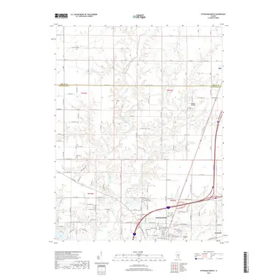
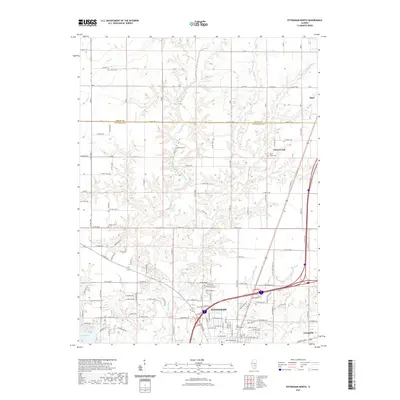
 1985 Effingham North1985 Print · USGSEffingham was expanding northward into the rural Illinois prairie during the mid-1980s. Local researchers can trace the development of Lake Sara, locate an active Oil Field, and find landmarks like the Drive-In Theater near the river.
 - 1985 Map of Teutopolis
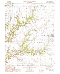
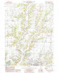
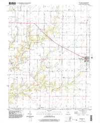
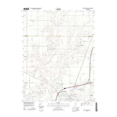
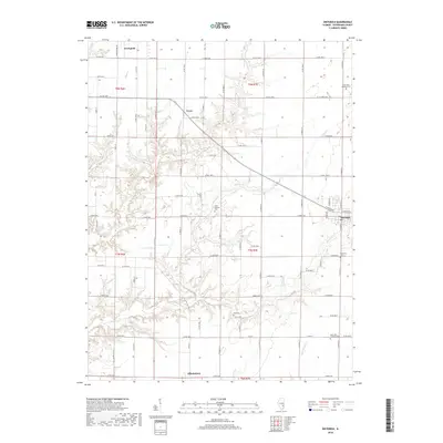
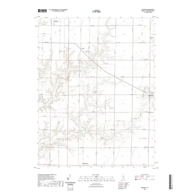
 1985 Teutopolis1985 Print · USGSEffingham and Cumberland Counties in the mid-1980s show a transition from traditional rail-side villages to modern highway corridors. Trace the development of Teutopolis and Montrose or find smaller sites like St Michael Ch and the Conrail line.
 - 1986 Map of Effingham
 1986 Effingham1986 Print · USGSCentral Illinois during the mid-eighties was a hub of rail travel and water recreation centered on the new reservoirs. Genealogists and historians can trace the rural landscape between Mattoon and Effingham, locating landmarks like St Paul Ch and Eagle Creek State Park.2 unique versions available
 - 1998 Map of Effingham North, 2002 Print
 1998 Effingham North2002 Print · USGSEffingham and the surrounding prairie townships appear at the end of the millennium as a crossroads of rail and modern highway travel. Genealogists and local historians can trace the course of the Little Wabash River past Lake Pauline, the village of Sigel, and the northern edge of Effingham.
 - 1998 Map of Teutopolis, 2003 Print
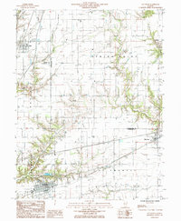
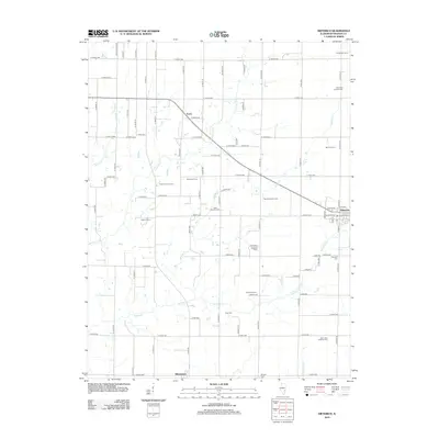
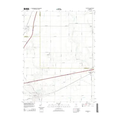
 1998 Teutopolis2003 Print · USGSCentral Illinois farmland and small-town rail corridors are captured here in the late twentieth century. Genealogists can trace family footprints in Teutopolis and Montrose or locate smaller settlements like Lillyville and Roslyn.
 - 1998 Map of Dieterich, 2003 Print
 1998 Dieterich2003 Print · USGSDieterich and the surrounding Effingham County townships are shown here at the turn of the millennium. Genealogists and researchers can trace local landmarks like Elliottstown, the Cem south of town, and watercourses such as Bishop Creek.
 - 2012 Map of Dieterich, 2012 Print
 2012 Dieterich2012 Print · USGSCovers Teutopolis, including Dieterich, Elliottstown, and other nearby areas
 - 2012 Map of Teutopolis, 2012 Print
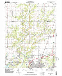
 2012 Teutopolis2012 Print · USGSCovers Teutopolis, including Sigel, Montrose, and other nearby areas
 - 2012 Map of Effingham North, 2012 Print
 2012 Effingham North2012 Print · USGSCovers Teutopolis, including Effingham, Sigel, and other nearby areas
 - 2015 Map of Effingham North, 2015 Print
 2015 Effingham North2015 Print · USGSCovers Teutopolis, including Effingham, Sigel, and other nearby areas
 - 2015 Map of Dieterich, 2015 Print
 2015 Dieterich2015 Print · USGSCovers Teutopolis, including Dieterich, Elliottstown, and other nearby areas
 - 2015 Map of Teutopolis, 2015 Print
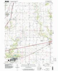
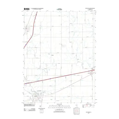
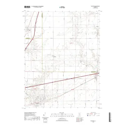
 2015 Teutopolis2015 Print · USGSCovers Teutopolis, including Sigel, Montrose, and other nearby areas
 - 2018 Map of Teutopolis, 2018 Print
 2018 Teutopolis2018 Print · USGSCovers Teutopolis, including Sigel, Montrose, and other nearby areas
 - 2018 Map of Dieterich, 2018 Print
 2018 Dieterich2018 Print · USGSCovers Teutopolis, including Dieterich, Elliottstown, and other nearby areas
 - 2018 Map of Effingham North, 2018 Print
 2018 Effingham North2018 Print · USGSCovers Teutopolis, including Effingham, Sigel, and other nearby areas
 - 2021 Map of Teutopolis, 2021 Print
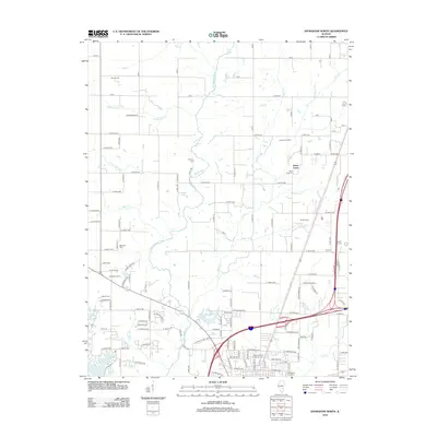
 2021 Teutopolis2021 Print · USGSCovers Teutopolis, including Sigel, Montrose, and other nearby areas
 - 2021 Map of Dieterich, 2021 Print
 2021 Dieterich2021 Print · USGSCovers Teutopolis, including Dieterich, Elliottstown, and other nearby areas
 - 2021 Map of Effingham North, 2021 Print
 2021 Effingham North2021 Print · USGSCovers Teutopolis, including Effingham, Sigel, and other nearby areas
 - 2024 Map of Dieterich, 2024 Print
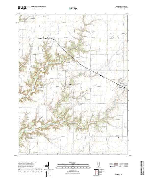 2024 Dieterich2024 Print · USGSEffingham County farmland and rural villages are mapped here in the early twenty-first century. Genealogists can locate family landmarks like Saint John Lutheran Cem, King Cem, and the communities of Dieterich and Teutopolis.
Showing maps 1-25 of 27
Top cities near Teutopolis
- Effingham historical maps
- Neoga historical maps
- Toledo historical maps
- Dieterich historical maps
- Watson historical maps
- Stewardson historical maps
See more
Frequently asked questions
- What are the different types of historical maps available for Teutopolis?
- What is the oldest map of Teutopolis?
- Where can I purchase historical maps of Teutopolis for my home or office?
- Where can I download high-res historical maps of Teutopolis?
- Are there historical topographic maps available for Teutopolis?
- Is there historical aerial imagery available for Teutopolis?
- Where are historical maps of Teutopolis sourced from?