2020s Maps of Hamilton County, Illinois
Explore 32 historic maps of Hamilton County from the 2020s. These maps offer a rare glimpse into what life looked like during the 2020s — showing old roads, neighborhoods, homes, and landmarks that have changed or disappeared over time.
Whether you're researching your family's past, planning a metal detecting trip, or studying how Hamilton County's landscape evolved across the 2020s, these high-resolution maps are a powerful tool for exploring the history of this region.
- Focus on a specific era: All maps on this page are from the 2020s, giving you a focused view of this time period.
- See what’s changed: Compare century-old streets, trails, and buildings to today's modern landscape using overlays and satellite layers.
- Research with precision: Use these maps for genealogy, historical research, land use analysis, or educational projects.
- View, download, or print: Maps are fully viewable online in high resolution, and can be downloaded or printed for your own records.
Start exploring Hamilton County's history through authentic maps from the 2020s. This is your window into the past.
Hamilton County, IL maps
(32)- 2021 Map of Boyleston, 2021 Print
 2021 Boyleston2021 Print · USGSCovers Hamilton County, including Fairfield, Boyleston, and other nearby areas
 - 2021 Map of Springerton, 2021 Print
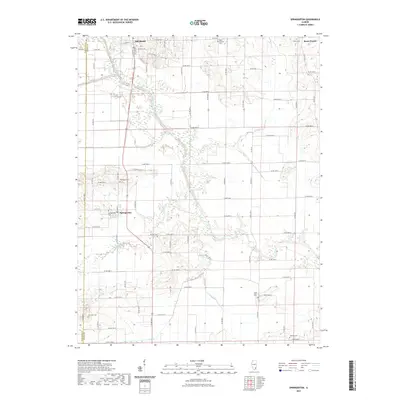 2021 Springerton2021 Print · USGSCovers Hamilton County, including Mill Shoals, Springerton, and other nearby areas
 - 2021 Map of Thackeray, 2021 Print
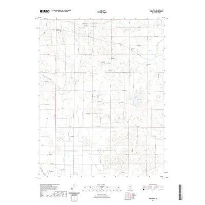 2021 Thackeray2021 Print · USGSCovers Hamilton County, including Thackeray, Nipper Corner, and other nearby areas
 - 2021 Map of McLeansboro, 2021 Print
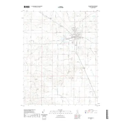 2021 McLeansboro2021 Print · USGSCovers Hamilton County, including McLeansboro, Hoodville, and other nearby areas
 - 2021 Map of Burnt Prairie, 2021 Print
 2021 Burnt Prairie2021 Print · USGSCovers Hamilton County, including Fairfield, Mill Shoals, and other nearby areas
 - 2021 Map of Dahlgren, 2021 Print
 2021 Dahlgren2021 Print · USGSCovers Hamilton County, including Dahlgren, Belle Rive, and other nearby areas
 - 2021 Map of Macedonia, 2021 Print
 2021 Macedonia2021 Print · USGSCovers Hamilton County, including Flint, Macedonia, and other nearby areas
 - 2021 Map of Belle Prairie City, 2021 Print
 2021 Belle Prairie City2021 Print · USGSCovers Hamilton County, including Belle Prairie City, Piopolis, and other nearby areas
 - 2021 Map of Enfield, 2021 Print
 2021 Enfield2021 Print · USGSCovers Hamilton County, including Enfield, Sacramento, and other nearby areas
 - 2021 Map of Wayne City, 2021 Print
 2021 Wayne City2021 Print · USGSCovers Hamilton County, including Wayne City, Sims, and other nearby areas
 - 2021 Map of Bungay, 2021 Print
 2021 Bungay2021 Print · USGSCovers Hamilton County, including Blairsville, Aden, and other nearby areas
 - 2021 Map of Walpole, 2021 Print
 2021 Walpole2021 Print · USGSCovers Hamilton County, including Long Branch, Olga, and other nearby areas
 - 2021 Map of Norris City, 2021 Print
 2021 Norris City2021 Print · USGSCovers Hamilton County, including Norris City, Omaha, and other nearby areas
 - 2021 Map of Broughton, 2021 Print
 2021 Broughton2021 Print · USGSCovers Hamilton County, including Broughton, Dale, and other nearby areas
 - 2021 Map of Akin, 2021 Print
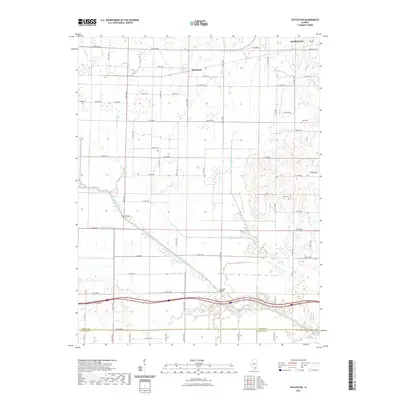
 2021 Akin2021 Print · USGSCovers Hamilton County, including Thompsonville, Akin, and other nearby areas
 - 2021 Map of Bluford, 2021 Print
 2021 Bluford2021 Print · USGSCovers Hamilton County, including Bluford, Keenes, and other nearby areas
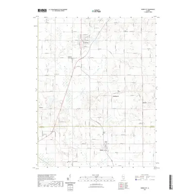
 - 2024 Map of Norris City, 2024 Print
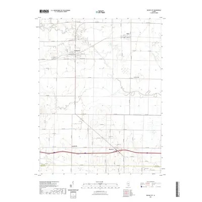
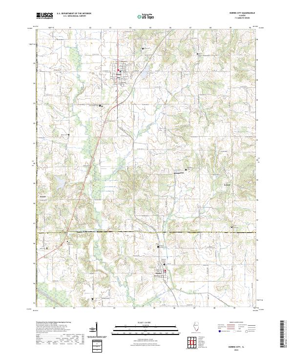 2024 Norris City2024 Print · USGSSouthern Illinois farm country is meticulously detailed in this recent survey of White and Gallatin Counties. Researchers can locate numerous ancestral sites including the Independent Order of Odd Fellows Cem, Hazel Ridge Cem, and the settlement of Roland.
 - 2024 Map of Walpole, 2024 Print
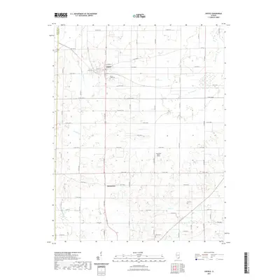
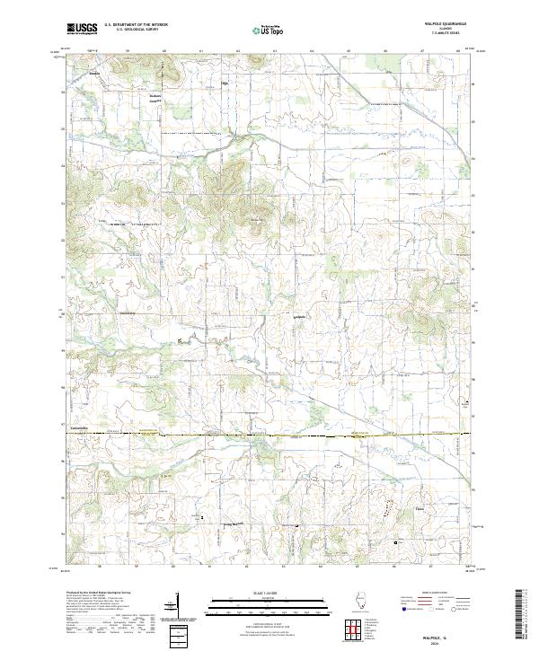 2024 Walpole2024 Print · USGSSouthern Hamilton County's rural landscape is mapped here in the early twenty-first century, showing a region of small settlements and family cemeteries. Genealogists can locate legacy sites like Durham Cem and Barton Cem near the hamlet of Walpole.
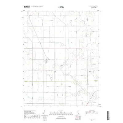
 - 2024 Map of Broughton, 2024 Print
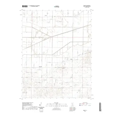
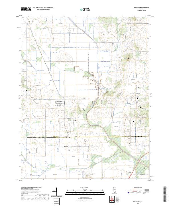 2024 Broughton2024 Print · USGSSouthern Illinois farm country is captured here during the 2020s, revealing the persistent settlement patterns of Hamilton and Saline counties. Family historians can locate several burial sites including Wolfe Cem, Keasler Cem, and the village of Broughton.
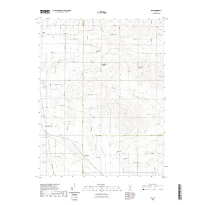
 - 2024 Map of Wayne City, 2024 Print
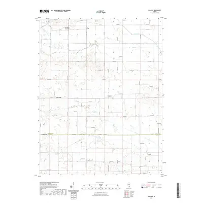
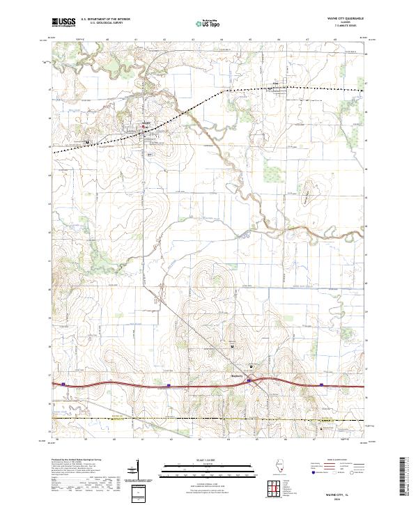 2024 Wayne City2024 Print · USGSWayne County’s southern agricultural heartland and the Skillet Fork river bottoms are captured in this recent survey. Researchers can trace rural lineages through local landmarks like Thomason Cem, Garrison Cem, and the village of Sims.
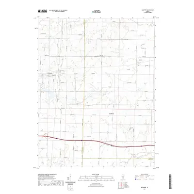
 - 2024 Map of Bluford, 2024 Print
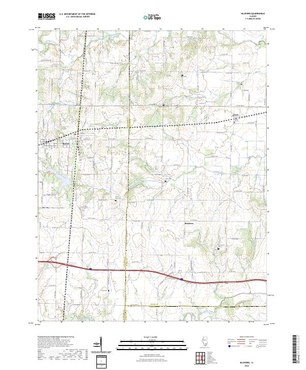 2024 Bluford2024 Print · USGSSouthern Illinois at the crossroads of Jefferson, Wayne, and Hamilton counties is captured here in recent detail. Researchers can locate several community landmarks including Mount Olive Cem, Laird Cem, and the settlement at Middleton.
 - 2024 Map of Macedonia, 2024 Print
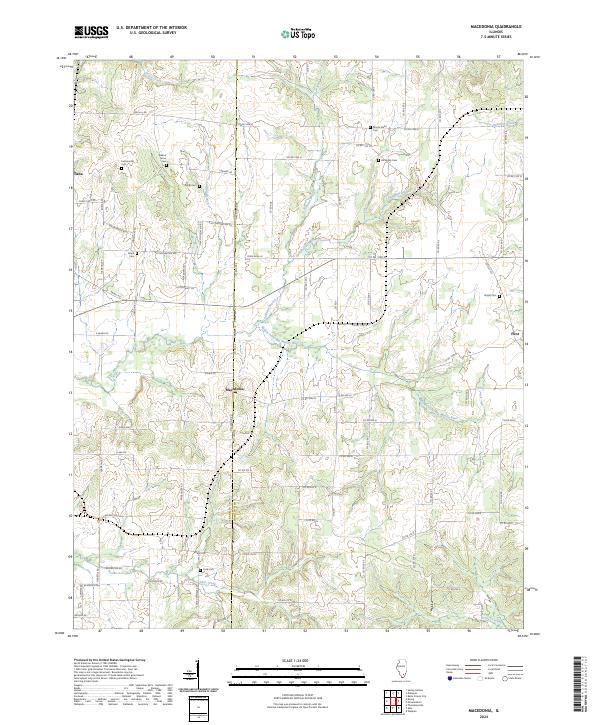 2024 Macedonia2024 Print · USGSSouthern Illinois farmland across the Franklin and Hamilton county line is mapped here in its contemporary state. Genealogists and local historians can trace rural burial grounds like Mount Nebo Cem and Atchisson Cem along the Middle Fork Big Muddy River.
 - 2024 Map of Bungay, 2024 Print
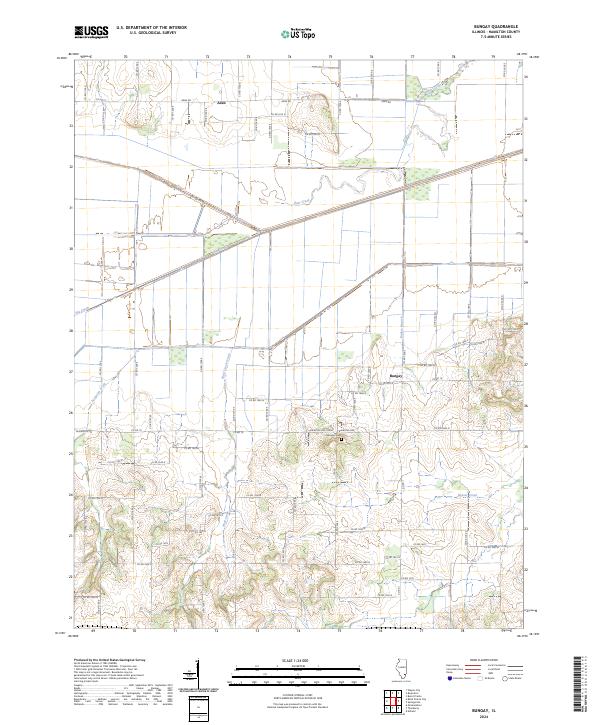 2024 Bungay2024 Print · USGSHamilton County, Illinois is captured in this recent survey, showcasing a landscape defined by traditional rural settlements and winding prairie creeks. Trace local family history at Springer Cem or explore the creek-fed terrain around Aden, Bungay, and Haw Creek.
 - 2024 Map of McLeansboro, 2024 Print
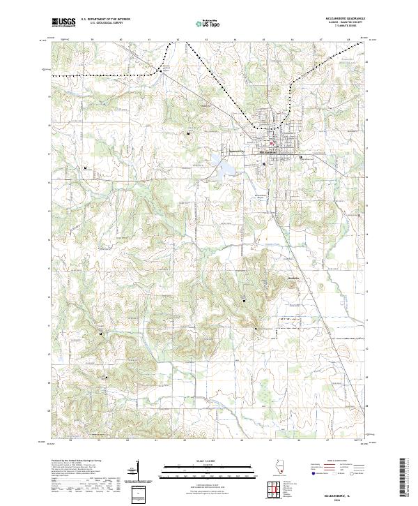 2024 McLeansboro2024 Print · USGSMcLeansboro and the surrounding Illinois prairie are shown here in the 2020s, anchored by the Hamilton County Courthouse. Genealogists can trace family names at Odd Fellows Cem, Marys Chapel Cem, and the rural community of Hoodville.
 - 2024 Map of Thackeray, 2024 Print
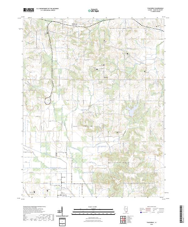 2024 Thackeray2024 Print · USGSHamilton County, Illinois, is shown in contemporary detail, capturing the rural character of the area around Thackeray and Thurber. Genealogists can trace numerous family burial grounds including Old Brush Harbor Cem, Malone Cem, and Arterberry Cem.
Showing maps 1-25 of 32
Top cities of Hamilton County
- McLeansboro historical maps
- Dahlgren historical maps
- Broughton historical maps
- Belle Prairie City historical maps
Frequently asked questions
- What are the different types of historical maps available for Hamilton County?
- What is the oldest map of Hamilton County?
- Where can I purchase historical maps of Hamilton County for my home or office?
- Where can I download high-res historical maps of Hamilton County?
- Are there historical topographic maps available for Hamilton County?
- Is there historical aerial imagery available for Hamilton County?
- Where are historical maps of Hamilton County sourced from?