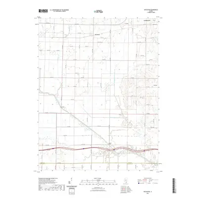
2021 Map of Boyleston
USGS Topo · Published 2021About this map
The unincorporated community of Boyleston and the outskirts of Fairfield anchor this portion of Wayne County, where the landscape is defined by a sophisticated system of agricultural drainage. The topography is shaped by the sluggish movements of Skillet Fork and its associated Skillet Fork Lagoon, as well as engineered channels like the Dry Fork Drainage Ditch and Big Mound Drainage Ditch. These waterways reflect the historical effort to reclaim and maintain productive farmland in Southern Illinois.
Find a feature on this map
43 named features on this map. Tap any name to fly to it.
Don’t see what you’re looking for? This feature index may not catch every label — zoom into the map to look around manually.
Map Details
Editions of this 2021 Boyleston Map
This is the sole edition of this map. No revisions or reprints were ever made.
Other maps of this area
1941 · Enfield
USGS Topo · 1:62,500
1942 · McLeansboro
USGS Topo · 1:62,500
1944 · Enfield
USGS Topo · 1:62,500
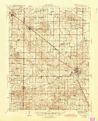
1945 · McLeansboro
USGS Topo · 1:62,500
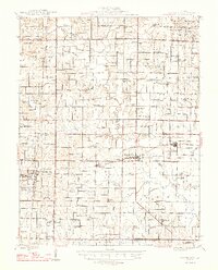
1947 · Wayne City
USGS Topo · 1:62,500
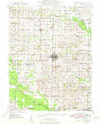
1948 · Fairfield
USGS Topo · 1:62,500
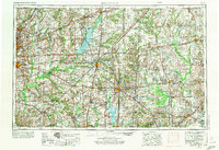
1958 · Belleville
USGS Topo · 1:250,000
1962 · Belleville
USGS Topo · 1:250,000
1970 · Geff
USGS Topo · 1:24,000
1971 · Boyleston
USGS Topo · 1:24,000