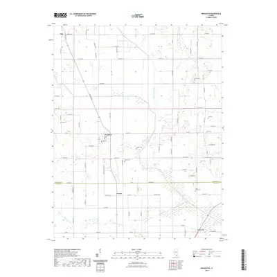
2021 Map of Broughton
USGS Topo · Published 2021About this map
Broughton serves as the central hub of this Southern Illinois landscape, where the flat agricultural plains of Hamilton County meet the winding course of the N Fork Saline River. The map reveals a dense network of rural infrastructure and family history, anchored by small clusters of settlement at Dale, Francis, and Texas City. This area is particularly rich in family-named burial grounds, including the Gaines Family Cem, Keasler Cem, and Wolfe Cem, suggesting long-standing ancestral ties to the land. The drainage patterns of Contrary Cr, Rector Cr, and Wheeler Cr define the local topography, while the prominent rise of Big Hill near Big Hill Cem provides a rare point of elevation above the surrounding creek bottoms and farm fields.
Find a feature on this map
79 named features on this map. Tap any name to fly to it.
Don’t see what you’re looking for? This feature index may not catch every label — zoom into the map to look around manually.
Map Details
Editions of this 2021 Broughton Map
This is the sole edition of this map. No revisions or reprints were ever made.
Other maps of this area

1905 · Eldorado
USGS Topo · 1:62,500

1906 · Eldorado
USGS Topo · 1:62,500

1908 · Galatia
USGS Topo · 1:62,500

1938 · Galatia
USGS Topo · 1:62,500

1941 · Enfield
USGS Topo · 1:62,500

1942 · McLeansboro
USGS Topo · 1:62,500

1944 · Enfield
USGS Topo · 1:62,500

1945 · McLeansboro
USGS Topo · 1:62,500

1949 · Paducah
USGS Topo · 1:250,000

1950 · Paducah
USGS Topo · 1:250,000