2000s (21st Century) Maps of Pontoosuc, Illinois
Explore 11 historic maps of Pontoosuc from the 2000s (21st Century). These maps offer a rare glimpse into what life looked like during the 2000s — showing old roads, neighborhoods, homes, and landmarks that have changed or disappeared over time.
Whether you're researching your family's past, planning a metal detecting trip, or studying how Pontoosuc's landscape evolved across the 2000s, these high-resolution maps are a powerful tool for exploring the history of this region.
- Focus on a specific era: All maps on this page are from the 2000s, giving you a focused view of this time period.
- See what’s changed: Compare century-old streets, trails, and buildings to today's modern landscape using overlays and satellite layers.
- Research with precision: Use these maps for genealogy, historical research, land use analysis, or educational projects.
- View, download, or print: Maps are fully viewable online in high resolution, and can be downloaded or printed for your own records.
Start exploring Pontoosuc's history through authentic maps from the 2000s. This is your window into the past.
Pontoosuc, IL maps
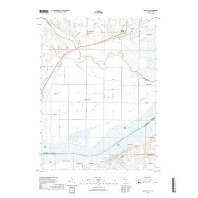
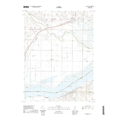
(11)- 2010 Map of Dallas City, 2010 Print
 2010 Dallas City2010 Print · USGSCovers Pontoosuc, including Dallas City, Wever, and other nearby areas
 - 2012 Map of Dallas City, 2012 Print
 2012 Dallas City2012 Print · USGSCovers Pontoosuc, including Dallas City, Wever, and other nearby areas
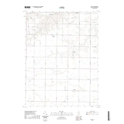
 - 2012 Map of Colusa, 2012 Print
 2012 Colusa2012 Print · USGSCovers Pontoosuc, including Dallas City, Adrian, and other nearby areas
 - 2015 Map of Colusa, 2015 Print
 2015 Colusa2015 Print · USGSCovers Pontoosuc, including Dallas City, Adrian, and other nearby areas
 - 2015 Map of Dallas City, 2015 Print
 2015 Dallas City2015 Print · USGSCovers Pontoosuc, including Dallas City, Wever, and other nearby areas
 - 2018 Map of Colusa, 2018 Print
 2018 Colusa2018 Print · USGSCovers Pontoosuc, including Dallas City, Adrian, and other nearby areas
 - 2018 Map of Dallas City, 2018 Print
 2018 Dallas City2018 Print · USGSCovers Pontoosuc, including Dallas City, Wever, and other nearby areas
 - 2021 Map of Colusa, 2021 Print
 2021 Colusa2021 Print · USGSCovers Pontoosuc, including Dallas City, Adrian, and other nearby areas
 - 2021 Map of Dallas City, 2021 Print
 2021 Dallas City2021 Print · USGSCovers Pontoosuc, including Dallas City, Wever, and other nearby areas
 - 2024 Map of Colusa, 2024 Print
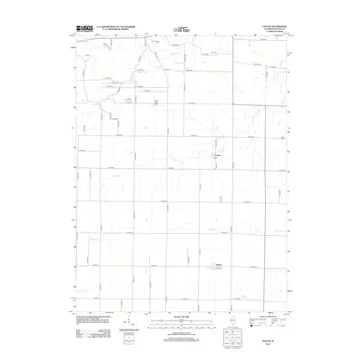
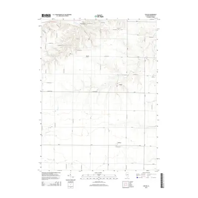
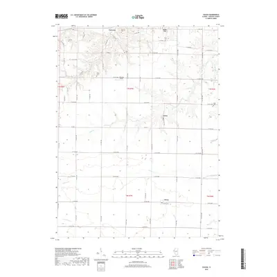
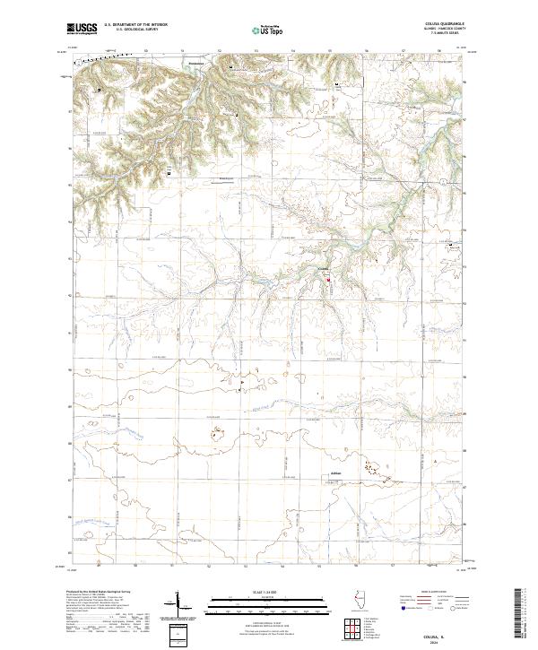 2024 Colusa2024 Print · USGSHancock County is depicted here in recent years, showcasing a deeply etched agricultural landscape. Researchers can locate several family burial grounds such as Tull Cem and Myers Cem alongside the small communities of Pontoosuc and Colusa.
 - 2024 Map of Dallas City, 2024 Print
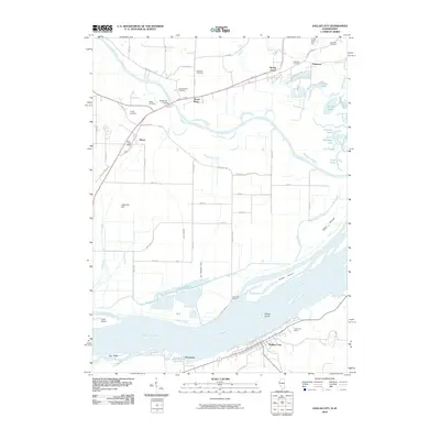
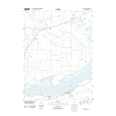
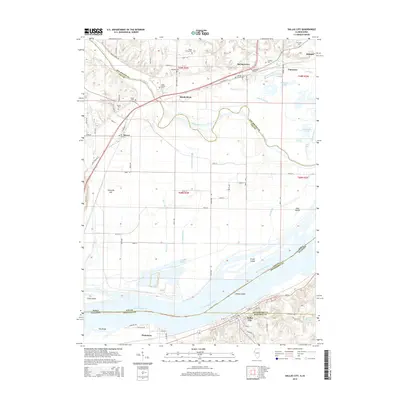
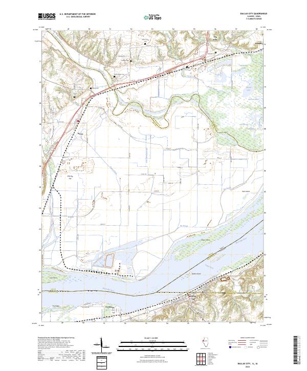 2024 Dallas City2024 Print · USGSSpanning the river border of Illinois and Iowa, this contemporary survey captures the intricate wetlands and river towns of the Mississippi valley. Genealogists can trace family heritage at the Miller Family Plot, Beebe Cem, or Tierney Cem.
End of results
Showing maps 1-11 of 11
Top cities near Pontoosuc
- Burlington historical maps
- Fort Madison historical maps
- Keokuk historical maps
- West Burlington historical maps
- Hamilton historical maps
- Carthage historical maps
See more
Frequently asked questions
- What are the different types of historical maps available for Pontoosuc?
- What is the oldest map of Pontoosuc?
- Where can I purchase historical maps of Pontoosuc for my home or office?
- Where can I download high-res historical maps of Pontoosuc?
- Are there historical topographic maps available for Pontoosuc?
- Is there historical aerial imagery available for Pontoosuc?
- Where are historical maps of Pontoosuc sourced from?