Old Maps of Pontoosuc, Illinois for Metal Detecting
Plan your next treasure hunt with 20 historic maps of Pontoosuc. Find old homesites, ghost towns, trails, and gathering spots that may be lost to time — perfect for identifying promising metal detecting locations.
- Locate forgotten sites: Uncover places like long-lost settlements, abandoned rail lines, or gathering spots.
- Plan better hunts: Use map overlays combined with LiDAR or satellite views to narrow in on historically rich areas.
- Made for detectorists: Thousands of hobbyists use these maps to discover relics, coins, and hidden history.
Use these historic maps to boost your research and find new opportunities beneath the surface of Pontoosuc.
Pontoosuc, IL maps
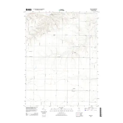
(20)- 1932 Map of Lomax, 1957 Print
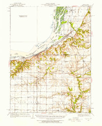 1932 Lomax1957 Print · USGSWestern Illinois river towns and railroad junctions thrive during the early 1930s as the river remains a central artery for commerce and life. Genealogists can trace family footprints across dozens of rural landmarks, including Dallas City, Gittings Mound, and the uniquely named Froggie Sch.
 - 1937 Map of Lomax
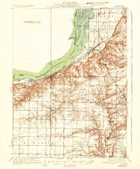 1937 Lomax1937 Print · USGSThe riverfront and rail corridors of Henderson and Hancock Counties come alive in the late 1930s, documenting a time of active country schools and river commerce. Genealogists can locate family landmarks like Gittings Cem, Enterprise Ch, and distinctively named sites like Shake Rag Sch.2 unique versions available
 - 1958 Map of Burlington, 1968 Print
 1958 Burlington1968 Print · USGSThe tri-state river country of Iowa, Illinois, and Missouri is captured here in the mid-fifties, dominated by the Mississippi River and major rail lines. Genealogists and historians can trace the development of river towns like Keokuk or locate the sprawling Iowa Army Ammunition Plant.4 unique versions available
 - 1961 Map of Burlington
 1961 Burlington1961 Print · USGSThe tri-state borderlands along the Mississippi River are captured here during the late fifties and early sixties, showing the vital river-and-rail economy of Iowa, Illinois, and Missouri. Genealogists and historians can trace the development of major hubs like Galesburg and Macomb alongside landmark sites such as the Iowa Ordnance Plant and the historic river town of Nauvoo.
 - 1963 Map of Burlington
 1963 Burlington1963 Print · USGSThe tri-state river country of the Mississippi and Illinois valleys comes alive in this mid-century survey. Genealogists and historians can trace the industrial and academic growth of the region, from the Iowa Ordnance Plant to campuses like Knox College and Western Illinois University.
 - 1964 Map of Colusa, 1965 Print
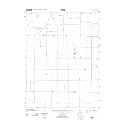
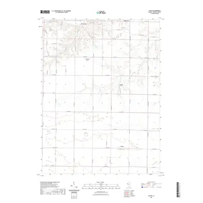
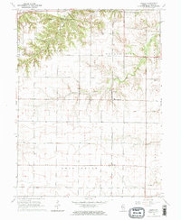 1964 Colusa1965 Print · USGSHancock County agriculture and rail life are captured here in the mid-1960s, showing the corridor of the Chicago Burlington and Quincy railroad. Genealogists can trace local roots through burial grounds like Harris Cem and the small settlements of Colusa and Adrian.2 unique versions available
 - 1964 Map of Dallas City, 1965 Print
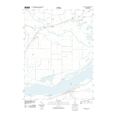
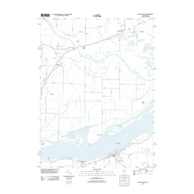
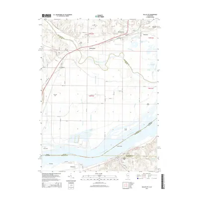
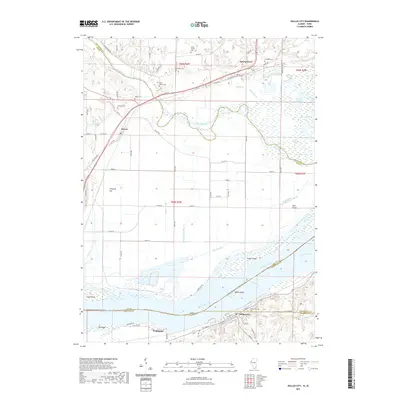
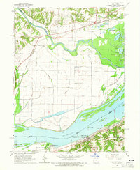 1964 Dallas City1965 Print · USGSThe Mississippi River floodplain in the 1960s reveals a landscape of industrial rail lines and intricate backwaters. Trace the historic tracks of the Atchison Topeka and Santa Fe or locate rural landmarks like Oak Grove Ch and Eureka Sch.4 unique versions available
 - 1985 Map of Burlington
 1985 Burlington1985 Print · USGSThe Tri-State region during the mid-eighties shows a landscape shaped by the Mississippi River and a dense network of railroads. Genealogists and local historians can trace family sites near Aspen Grove Cem or locate community landmarks in Burlington, Fort Madison, and Mount Pleasant.2 unique versions available
 - 1990 Map of Burlington
 1990 Burlington1990 Print · USGSThe tri-state confluence of Iowa, Illinois, and Missouri is mapped here at the end of the twentieth century. Genealogists and historians can trace the riverfront heritage of Burlington, Keokuk, and Fort Madison, or locate sites like the Battle of Athens State Historic Site.2 unique versions available
 - 2010 Map of Dallas City, 2010 Print
 2010 Dallas City2010 Print · USGSCovers Pontoosuc, including Dallas City, Wever, and other nearby areas
 - 2012 Map of Dallas City, 2012 Print
 2012 Dallas City2012 Print · USGSCovers Pontoosuc, including Dallas City, Wever, and other nearby areas
 - 2012 Map of Colusa, 2012 Print
 2012 Colusa2012 Print · USGSCovers Pontoosuc, including Dallas City, Adrian, and other nearby areas
 - 2015 Map of Colusa, 2015 Print
 2015 Colusa2015 Print · USGSCovers Pontoosuc, including Dallas City, Adrian, and other nearby areas
 - 2015 Map of Dallas City, 2015 Print
 2015 Dallas City2015 Print · USGSCovers Pontoosuc, including Dallas City, Wever, and other nearby areas
 - 2018 Map of Colusa, 2018 Print
 2018 Colusa2018 Print · USGSCovers Pontoosuc, including Dallas City, Adrian, and other nearby areas
 - 2018 Map of Dallas City, 2018 Print
 2018 Dallas City2018 Print · USGSCovers Pontoosuc, including Dallas City, Wever, and other nearby areas
 - 2021 Map of Colusa, 2021 Print
 2021 Colusa2021 Print · USGSCovers Pontoosuc, including Dallas City, Adrian, and other nearby areas
 - 2021 Map of Dallas City, 2021 Print
 2021 Dallas City2021 Print · USGSCovers Pontoosuc, including Dallas City, Wever, and other nearby areas
 - 2024 Map of Colusa, 2024 Print
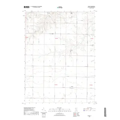
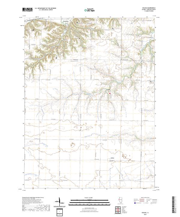 2024 Colusa2024 Print · USGSHancock County is depicted here in recent years, showcasing a deeply etched agricultural landscape. Researchers can locate several family burial grounds such as Tull Cem and Myers Cem alongside the small communities of Pontoosuc and Colusa.
 - 2024 Map of Dallas City, 2024 Print
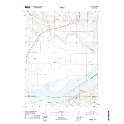
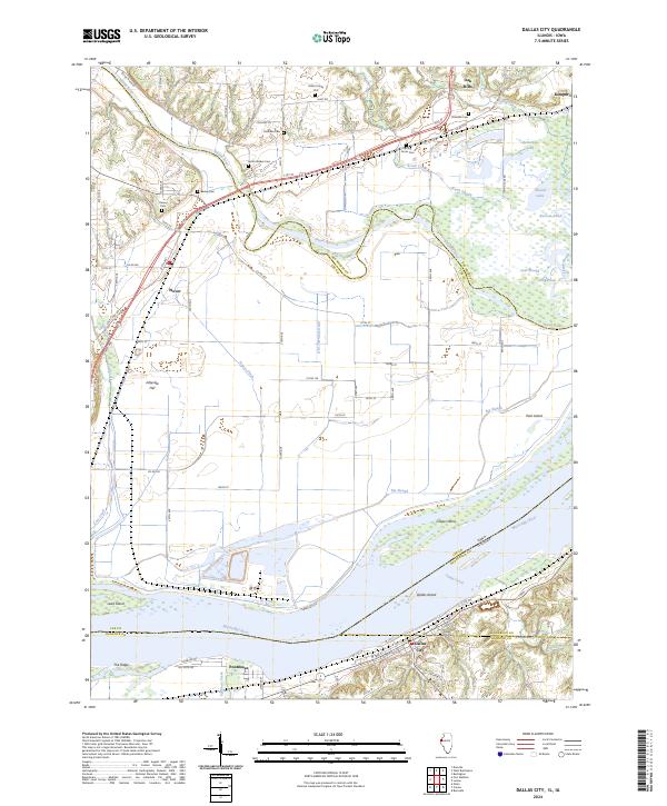 2024 Dallas City2024 Print · USGSSpanning the river border of Illinois and Iowa, this contemporary survey captures the intricate wetlands and river towns of the Mississippi valley. Genealogists can trace family heritage at the Miller Family Plot, Beebe Cem, or Tierney Cem.
End of results
Showing maps 1-20 of 20
Top cities near Pontoosuc
- Burlington historical maps
- Fort Madison historical maps
- Keokuk historical maps
- West Burlington historical maps
- Hamilton historical maps
- Carthage historical maps
See more
Frequently asked questions
- What are the different types of historical maps available for Pontoosuc?
- What is the oldest map of Pontoosuc?
- Where can I purchase historical maps of Pontoosuc for my home or office?
- Where can I download high-res historical maps of Pontoosuc?
- Are there historical topographic maps available for Pontoosuc?
- Is there historical aerial imagery available for Pontoosuc?
- Where are historical maps of Pontoosuc sourced from?